Borjomi-Kharagauli National Park
One of Europe's largest national parks, with 12 marked trails, mountain shelters and old-growth forest above Borjomi.
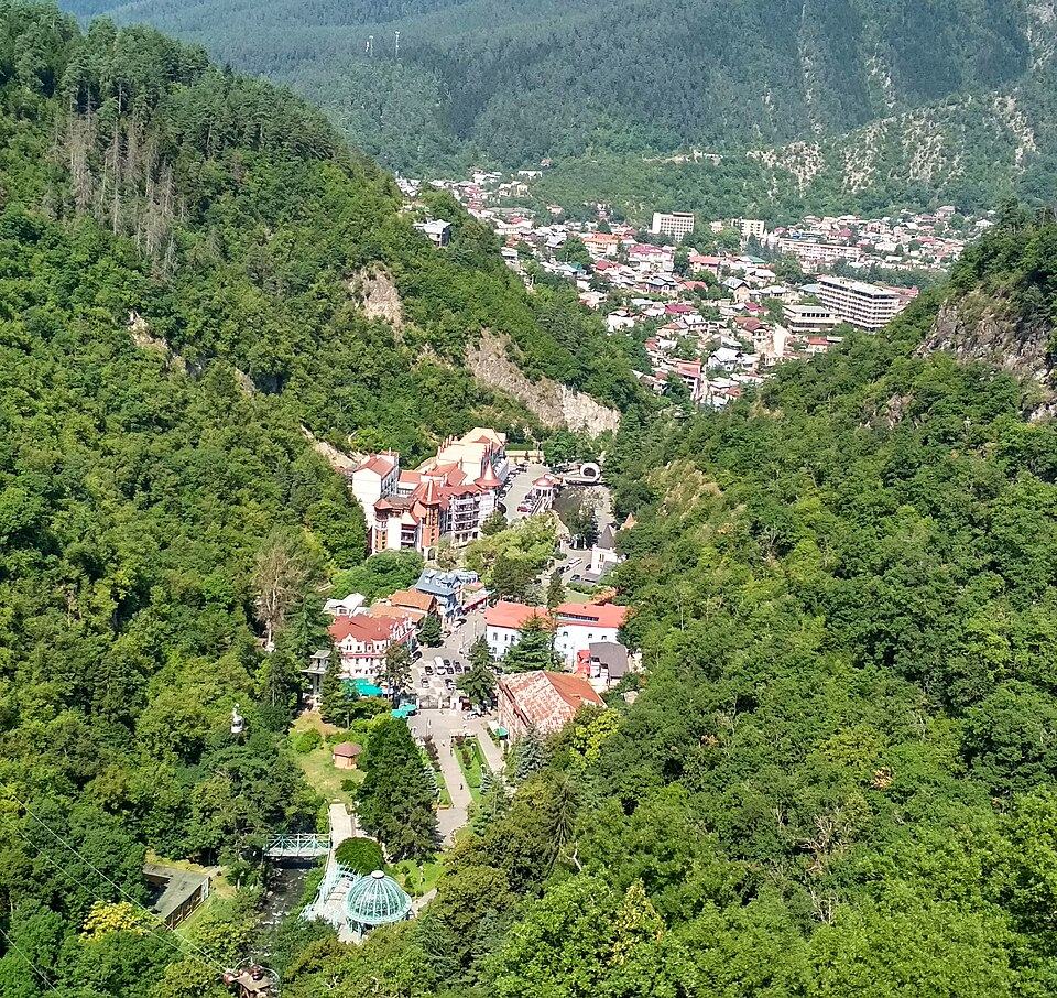
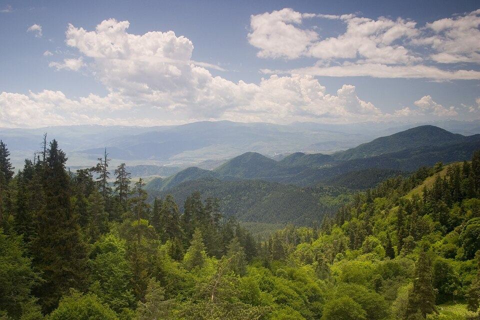 Borjomi-Kharagauli National ParkPhoto: Polscience at English Wikipedia, Public domain
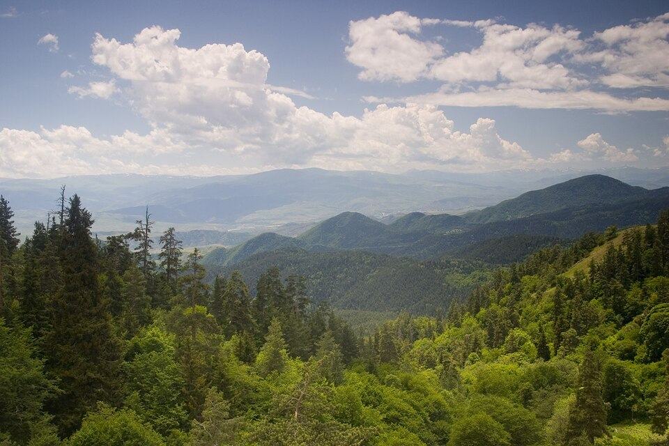
Borjomi-Kharagauli National Park protects a huge stretch of the Meskheti range, from the Borjomi gorge west towards Kharagauli in Imereti. Founded in 1995 with support from WWF and the German government, it was the first national park of independent Georgia and covers more than 1.5 percent of the country across six municipalities. Beech, fir and spruce forest gives way to alpine meadows above the tree line. Lynx, brown bear and Caucasian grouse live here, though you are far more likely to see tracks than animals.
The park has 12 marked trails. The classic is the Nikoloz Romanov Trail, about 43 km over three days from the Likani ranger station via the Lomismta and Sakhvlari shelters. For a day hike, the 7 km Likani Valley loop and the 13 km Footprint Trail start near Likani, and the four-day St Andrew Trail from Atskuri passes Sametskhvario peak (2,642 m). Two snowshoe routes are marked in winter, and bikes and snowshoes can be rented at the visitor centre on Meskheti Street in Borjomi.
What to see and do
- Hike the three-day Nikoloz Romanov Trail between mountain shelters
- Walk the 7 km Likani Valley loop for views of the Borjomi gorge
- Tackle the four-day St Andrew Trail past Sametskhvario peak
- Spend a night in a ranger-run tourist shelter
- Snowshoe on the marked winter routes
How to visit
Getting there
The visitor centre is at 23 Meskheti Street in Borjomi, about 160 km from Tbilisi. The main trailheads are at Likani, on the western edge of Borjomi, and at Atskuri, about half an hour away on the road to Akhaltsikhe.
When to go
June to October for the high trails; winter for snowshoeing. Plan 1-4 days here.
- Register at the visitor centre before overnight hikes and book shelters there
- A small fee applies for overnight stays in the park
- Weather above the tree line changes quickly, so carry layers and rain gear
- Shelters are basic, so bring your own food
Borjomi-Kharagauli National Park: FAQ
Do you need a guide to hike in Borjomi-Kharagauli National Park?
No. The trails are marked and many people hike independently. Register at the visitor centre in Borjomi, which also books shelters and can tell you about current trail conditions.
What is the best day hike near Borjomi?
The Likani Valley loop (about 7 km) and the Footprint Trail (about 13 km) are good one-day options, both starting near Likani on the western edge of Borjomi.
Tours that include Borjomi-Kharagauli National Park
Read more in our guides
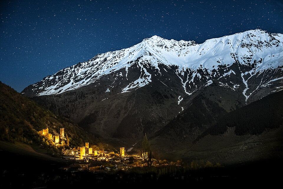 Photo: Q-lieb-in, CC BY-SA 4.0
Colour starts near the treeline in late September and reaches Tbilisi in November. Here is when each region peaks, the walks to do there and which mountain roads shut first.
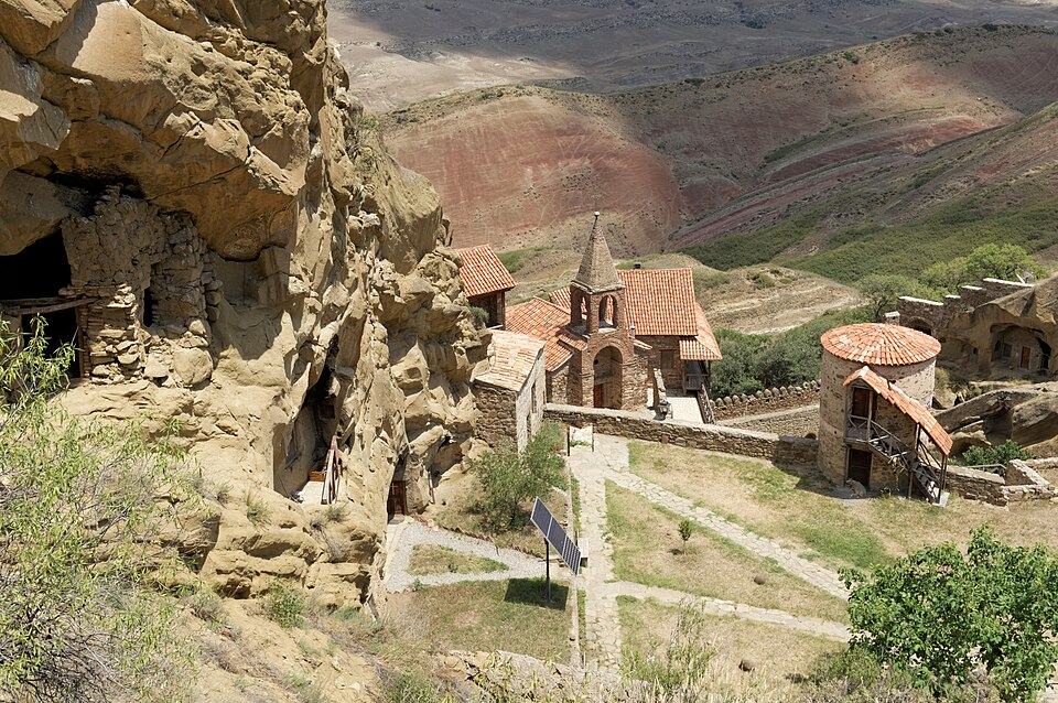 Photo: Vyacheslav Argenberg, CC BY 4.0
When to go for hiking, wine, beaches or skiing, with monthly weather for Tbilisi, the coast and the Caucasus and the festivals worth timing a trip for.
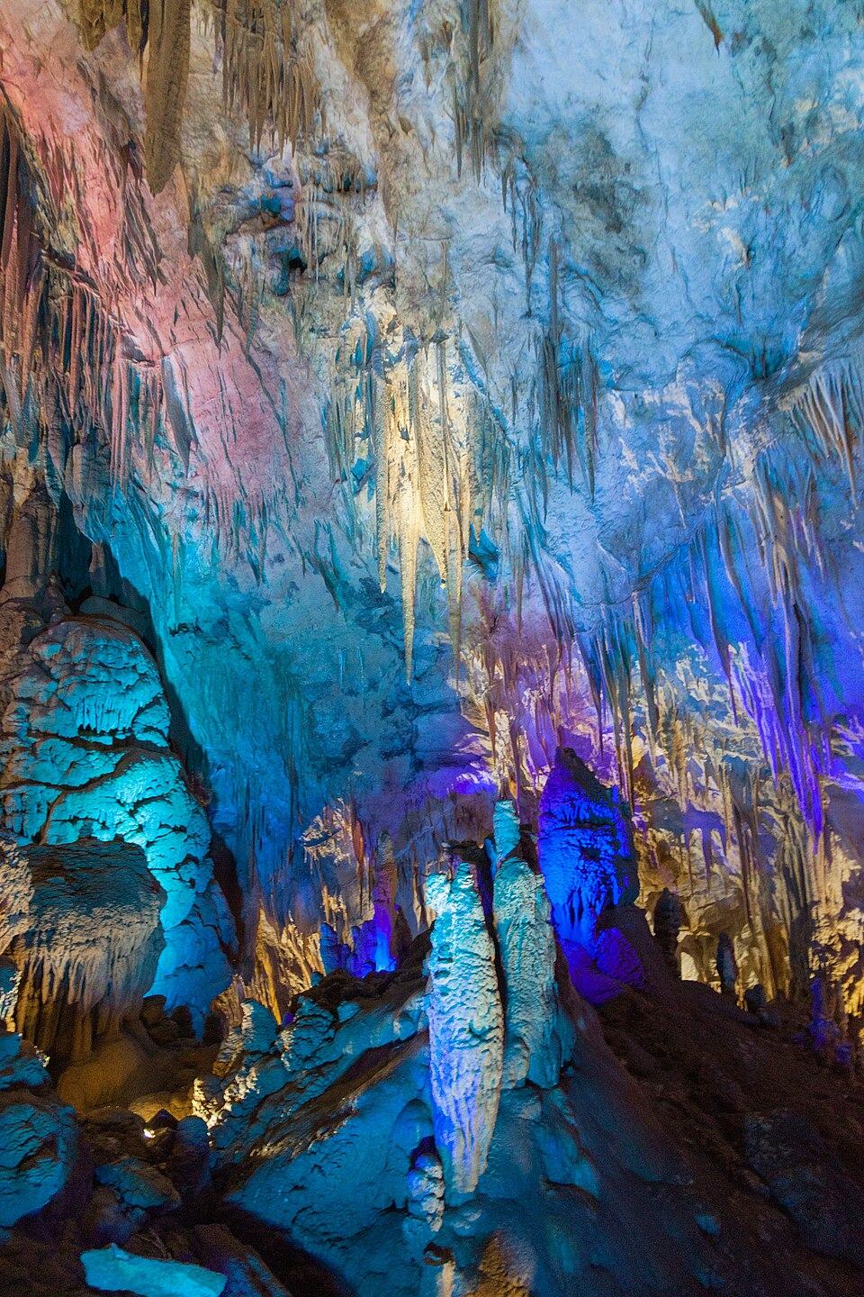 Photo: Marcin Konsek, CC BY-SA 4.0
What Prometheus Cave, Martvili Canyon, the National Museum, Vardzia, the Tbilisi cable cars and dozens of other sights cost to enter in 2026, with hours, combo tickets and free alternatives.
Nearby places
Straight-line distance from Borjomi-Kharagauli National Park.