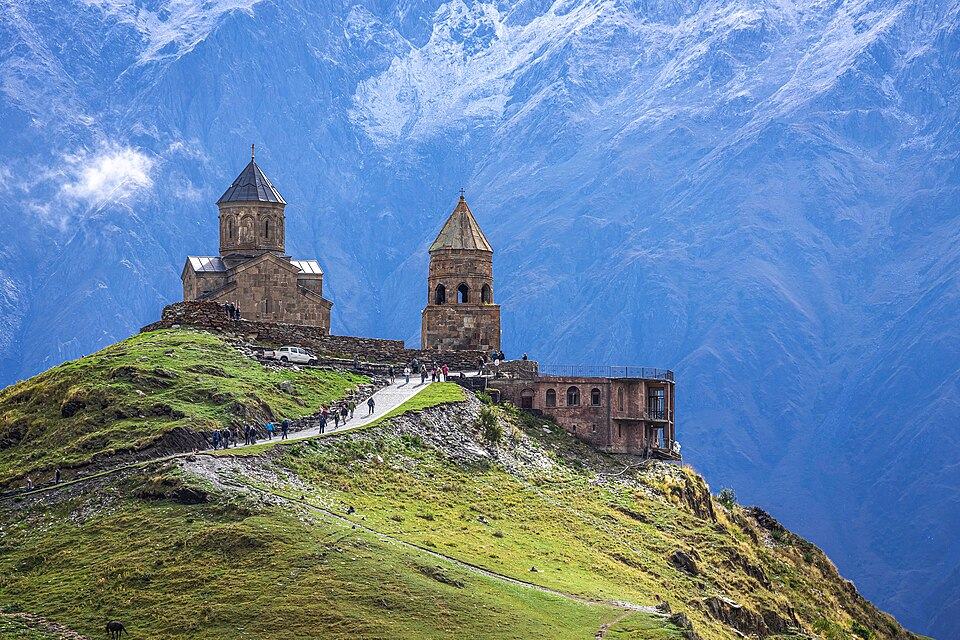
Zedazeni Monastery to Mamkoda, Tbilisi National Park
The best full-day forest hike from Tbilisi: along the wooded Saguramo ridge of Tbilisi National Park from the 6th-century Zedazeni Monastery down to the village of Mamkoda on the city's edge. About 15 km, 580 m up and 820 m down, 5 to 6 hours.
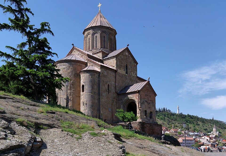
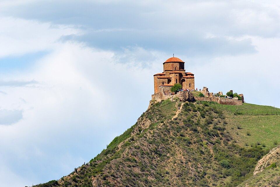 Jvari MonasteryPhoto: Alexxx1979, CC BY-SA 4.0
Tbilisi National Park covers the forested Saguramo and Yalno ridges north of the capital, and this point-to-point walk is its classic route. It starts at Zedazeni, a hilltop monastery founded in the 6th century by Ioane Zedazneli, one of the Assyrian Fathers who spread monastic life across Georgia. From the monastery walls the view stretches over Mtskheta and the meeting of the Aragvi and Mtkvari to the Greater Caucasus on clear days.
From Zedazeni the route heads east along the ridge through beech, hornbeam and oak, reaches a high point of about 1,430 m and then drops gradually toward Mamkoda. Red and white paint marks guide you, yet the tread itself vanishes in leaf litter in places and many forestry tracks cross it, so navigation needs attention.
It makes a good first hike in Georgia, a training day before the Caucasus, or a way to escape the city heat. The walk is longer than it looks on the map because of short climbs and descents along the ridge, so start by 9:00.
Highlights
- Zedazeni Monastery and its view over Mtskheta and the Aragvi
- A full day in shady old beech and oak forest, minutes from the capital
- Wildflowers in spring and colourful beech leaves in late October
- Quiet trails, often with no other walkers on weekdays
- Finishing in a village on the edge of Tbilisi with no need for a return trip
Trail facts
Last checked Oct 2026 by the Maspindzeli team. Mountain conditions change: ask us before you go.
Is this right for you?
Three quick questions for a friendly second opinion. Nothing is sent anywhere.
Stage by stage
| Day | From → to | Distance | Up | Down | Hours | Highest |
|---|---|---|---|---|---|---|
| 1 | Zedazeni Monastery → Main Saguramo ridge | 4 km | +250 m | −50 m | 1.5 h | 1,400 m |
| 1 | Main Saguramo ridge → Ridge high point | 5 km | +280 m | −200 m | 2 h | 1,430 m |
| 1 | Ridge high point → Mamkoda | 6 km | +50 m | −570 m | 2 h | 1,430 m |
01Zedazeni Monastery to the ridgeZedazeni Monastery → Main Saguramo ridge · 4 km · 1.5 h
Look around the monastery and refill at its spring, then follow the track east behind the walls into the forest. The path climbs gently onto the main ridge, with glimpses back to Mtskheta and the Aragvi valley through gaps in the trees.
01Along the ridge to the high pointMain Saguramo ridge → Ridge high point · 5 km · 2 h
This is the heart of the walk: a long, undulating stretch through old beech forest with occasional clearings. Watch for the blazes at each junction, as forestry tracks and cattle paths branch off often. The high point, about 1,430 m, is wooded and unremarkable, so keep checking your position on the map.
01Descent to MamkodaRidge high point → Mamkoda · 6 km · 2 h
The trail slowly loses height on the south-eastern flank of the ridge, leaving the deep forest for oak woods and then pasture above Mamkoda. The village's houses and gardens appear below, with the Tbilisi Sea and the city's northern districts beyond. Finish in the village centre and call a taxi.
Practical information
Getting there
Take a minibus or Bolt taxi from Tbilisi to Saguramo, about 25 km north near Mtskheta; a Bolt to the village costs about 25 to 35 GEL (about $9 to $13) in 2026. From Saguramo a paved road climbs about 7 km to Zedazeni; a taxi up from the village costs about 20 to 30 GEL (about $7 to $11), or ride directly from Tbilisi to the monastery for roughly 50-60 GEL (around $19-22). Walking up from Saguramo through the forest adds about 2 hours and 500 m of climbing.
Getting back
Mamkoda lies on the north-eastern fringe of Tbilisi. Order a Bolt from the village; a ride to the centre usually costs about 20 to 30 GEL (around $7 to $11) and takes 30 to 40 minutes. City minibuses also link the area with the Gldani and Zahesi districts, from where the metro runs into town.
Water
There is a spring at Zedazeni Monastery where you can fill up; after that do not count on any reliable source until Mamkoda. Carry 2 litres, or 3 on a hot day.
Phone signal
Reasonable coverage on most of the ridge because Tbilisi and Mtskheta are close, with dead spots in the deeper valleys. A downloaded track is essential, since paths fork often in the forest.
Nearest help
Tbilisi hospitals are 30 to 45 minutes by car from either end. Dial 112; give the nearest named point (Zedazeni, the ridge, or Mamkoda).
Permits
None. Tbilisi National Park charges no entry fee. Zedazeni is a working monastery, so dress modestly (no shorts or bare shoulders) and women cover their hair.
Gear and safety
What to bring
- Trail shoes or light boots; the forest floor is slippery after rain
- 2 to 3 litres of water
- Offline map with the route track (the blazes are not enough on their own)
- Lunch and snacks; nothing to buy along the way
- Insect repellent and long trousers against ticks
- Headscarf or long skirt for the monastery visit
Stay safe
- Navigation is the main risk: many unmarked tracks cross the route. Check your GPS at every fork and do not follow cattle paths downhill.
- Ticks are active from April to October. Wear long trousers and check your body after the walk.
- Farm dogs near Mamkoda and Saguramo can be noisy and protective. Keep walking calmly and avoid entering yards.
- Do not start after midday in short autumn days; darkness falls fast in the forest.
- Hunters sometimes use the outer parts of the park in autumn and winter. Bright clothing helps.
- Call 112 if you are lost or injured; signal is usually available on the ridge crest.
- Reverse: Mamkoda to Zedazeni gives the bigger climb (about 820 m) but ends at the monastery viewpoint.
- Short version: walk up from Saguramo to Zedazeni (about 7 km on the road or forest path, 500 m up) and come back down, 3 to 4 hours.
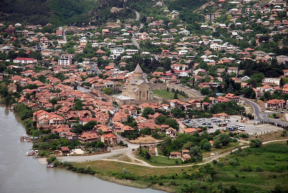
- Combine with Mtskheta: visit Jvari Monastery and Svetitskhoveli in the morning and start the walk after lunch, cutting it short at the first ridge viewpoint.
- Bad weather swap: in rain the forest paths turn to clay. Walk in Mtatsminda Park or the National Botanical Garden in Tbilisi instead.
- Longer: continue the forest walking on the Transcaucasian Trail sections that run north toward Tianeti, which need a full day or more.
Emergency number in Georgia: 112. Tell your guesthouse your plan before you set off.
Places on and near the route
Tours that include this trail
Zedazeni Monastery to Mamkoda, Tbilisi National Park: FAQ
How long is the Zedazeni to Mamkoda hike?
About 15 km. Most walkers take 5 to 6 hours plus stops; some records show up to 7.5 hours with breaks.
Is the trail marked?
Yes, by painted waymarks, though the trail fades in spots and side tracks are common. Use an offline map.
Can I do it by public transport?
Yes. Reach Saguramo by minibus or taxi, take a taxi up to Zedazeni, and get a Bolt or city minibus back from Mamkoda.
When is the best season?
Spring and autumn. The forest stays green and shaded through summer, but days above 30 degrees C make it hard work.
Last checked Oct 2026 by the Maspindzeli team. Mountain conditions change: ask us before you go.