Mtirala National Park: Tsablnari Waterfall and Lake Loop
The classic day hike for Batumi visitors: a roughly 7 km loop from the Mtirala visitor centre through subtropical Colchic forest along the Chakvistskali gorge to a waterfall of ~15 to 18 m and a swimming lake, about 250 m of climbing and 3 to 4 hours, on one of the rainiest slopes in Europe.
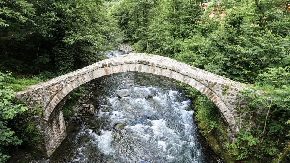
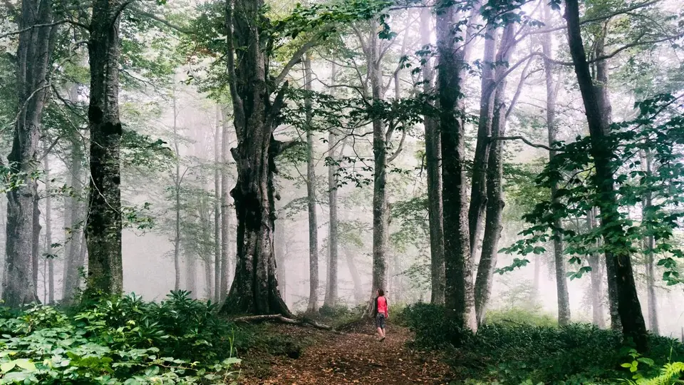 Mtirala forest trailPhoto: georgia.travel
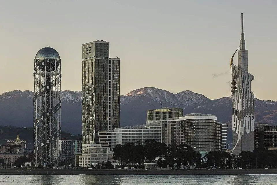
Mtirala means 'the weeping one' in Georgian, and the mountain behind Chakvi earns the name: the park catches somewhere around 4,500 mm of rain a year as clouds off the Black Sea pile into the first range of the Lesser Caucasus. The result is a dense, mossy rainforest of chestnut, beech, hornbeam and Colchic box, with ferns and rhododendron underneath. It is part of the Colchic forests and wetlands that UNESCO added to the World Heritage List in 2021, and it lies only half an hour or so from the beachfront towers of Batumi.
The park's main day trail, called Tsablnari after its chestnut groves (you will also see it spelt Tsabinari), makes a loop from the visitor centre at Chakvistavi. It crosses the river on a small cable cart, passes the zip line, climbs gently through the forest to a waterfall and returns past a quiet lake where people swim in summer. Distances and climbs are short, but mud, wet rocks and roots make it slower than the numbers suggest, so we grade it 2. It works well for families and as a green day off the beach.
Highlights
- Riding the cable cart over the Chakvistskali river
- Old Colchic rainforest, a UNESCO World Heritage component
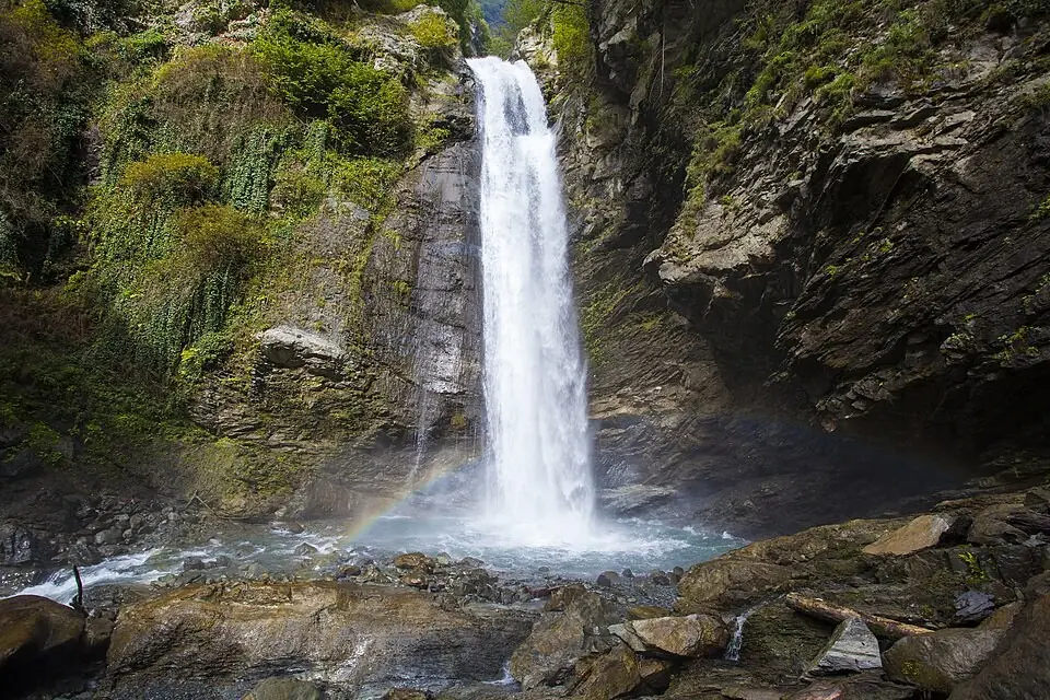
- A waterfall of ~15 to 18 m in a mossy gorge
- A cold swim in the forest lake
- Zip line and rope park for children and adults
Trail facts
Last checked Oct 2026 by the Maspindzeli team. Mountain conditions change: ask us before you go.
Is this right for you?
Three quick questions for a friendly second opinion. Nothing is sent anywhere.
Stage by stage
| Day | From → to | Distance | Up | Down | Hours | Highest |
|---|---|---|---|---|---|---|
| 1 | Chakvistavi visitor centre → Zip line and trail fork | ~1.5 km | ~+50 m | ~−20 m | 0.5-0.75 h | ~300 m |
| 1 | Trail fork → Tsablnari waterfall | ~1.5 km | ~+150 m | −0 m | 0.75-1 h | ~445 m |
| 1 | Tsablnari waterfall → Lake and picnic area | ~1 km | ~+30 m | ~−120 m | 0.5 h | ~445 m |
| 1 | Lake → Chakvistavi visitor centre | ~3 km | ~+20 m | ~−110 m | 1 h | ~350 m |
01Visitor centre, river crossing and zip lineChakvistavi visitor centre → Zip line and trail fork · ~1.5 km · 0.5-0.75 h
Register at the visitor centre and pick up a map. Near the start you cross the Chakvistskali in a small cart that runs along a cable over the water; staff usually operate it, and you may need to wait for your turn. On the far bank the path follows the gorge through tall chestnut forest to the zip line platform, about 1.5 km from the start. A few metres beyond it the trail splits.
01Up to the waterfallTrail fork → Tsablnari waterfall · ~1.5 km · 0.75-1 h
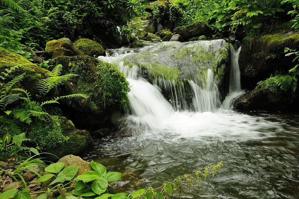
Take the right-hand branch for the waterfall. This is the steepest part of the loop: a narrow path with roots, stone steps and wooden bridges, often slick with mud. The waterfall drops ~15 to 18 m into a rocky pool in a fold of the forest. Take care on the wet rocks around its base.
01Waterfall to the lakeTsablnari waterfall → Lake and picnic area · ~1 km · 0.5 h
Continue on the loop downhill to a small lake formed where the river pools between rocks. There are picnic tables (rentable from the park) and, on a warm day, it is the place for a swim. If you only want the lake, the left-hand branch at the fork brings you straight here.
01Back to the visitor centreLake → Chakvistavi visitor centre · ~3 km · 1 h
Return through the forest to the fork and on along the gorge to the river crossing and the visitor centre. Follow the park's markers rather than side paths used by local farmers.
Practical information
Getting there
The easiest way is a taxi from Batumi straight to the visitor centre: roughly 80-100 GEL ($30-37) for a one-way ride in 2026, or arrange a return with the driver waiting for about 150 to 180 GEL (about $55 to $67). Cheaper: a Kobuleti-bound minibus from Batumi to Chakvi for 1 to 2 GEL, then a local taxi up the valley costing roughly 20-30 GEL ($7-11) each way, or 50 to 60 GEL return. A rural bus from Batumi to Chakvistavi has run only on Mondays and Fridays, early morning and early evening, for about 3 GEL. The last part of the road is narrow and partly unpaved but fine for an ordinary car in dry weather.
Getting back
There is no taxi rank at Chakvistavi and phone signal for a ride app can be weak, so book your return in advance: either keep the driver waiting or agree a pick-up time. The rangers can sometimes call a local driver for you.
Water
Bring 1.5 litres per person from Batumi or buy drinks at the visitor centre. Streams cross the trail and the forest is dripping with water, but there are farms and grazing upstream, so filter or treat anything you take from them.
Phone signal
Partial. Usually fine at the visitor centre and the zip line, then patchy or absent deep in the Chakvistskali gorge and at the waterfall.
Nearest help
Dial 112, and tell the rangers at the visitor centre your plans. The nearest hospitals are in Batumi, about 40 to 50 minutes by road from Chakvistavi. Most of the loop stays within 3 km of the centre.
Permits
No entry fee was listed for Mtirala in 2026 and no permit is needed, but the park asks visitors to register at the visitor centre before setting off. Carry your passport. Paid extras are run by the park: the zip line about 20 GEL (about $7.50) and the rope park about 20 to 30 GEL per person in 2026. The official Adjara tourism site listed the zip line as closed for maintenance in 2026, so check that it is running. The small river crossing near the start may carry a fee of about 2 GEL.
Gear and safety
What to bring
- Shoes with deep grip that you do not mind getting muddy; light boots after rain
- Rain jacket, even if Batumi is sunny when you leave
- Swimsuit and a small towel for the lake
- Insect repellent; check for ticks after the walk from spring to autumn
- 1.5 litres of water, snacks or a picnic
- Plastic bag for your rubbish: there are few bins on the trail
Stay safe
- Rain can arrive with little warning and raise the river fast. Do not wade across if the cable crossing is not working; ask the rangers about the water level instead.
- Wet roots, mossy stones and the rocks by the waterfall are very slippery. Walk slowly and keep children close.
- Brown bears live in the park but keep away from busy trails. Make some noise, keep food packed, and never approach one.
- Ticks are common in the undergrowth from spring to autumn; wear long trousers and check yourself afterwards. We have no reliable reports of leeches on the trail.
- Swim only in calm water at the lake, not under the waterfall or in the river current.
- Lake only: take the left branch at the fork for a shorter, flatter walk of about 4 to 5 km and 2 to 2.5 hours.
- Extended loop: AllTrails users log a longer circuit that adds forest above the waterfall, about 12 km and 5.5 to 6 hours.
- Tsivtskaro two-day loop: the park's second marked trail, about 16 km, climbs to roughly 1,250 m through beech forest to a basic tourist shelter for 8 people near km 9 (about 30 GEL per person in 2026, 10 GEL for students; book through the park). Usually open June to September; a ranger is recommended.
- Mtirala summit: a long out-and-back of about 21.6 km and 1,050 m of ascent, 7.5 to 8.5 hours, for fit hikers with a local guide.
- Rainy day near Batumi: the Batumi Botanical Garden on the coast at Mtsvane Kontskhi has paved paths and the same subtropical plants.
Emergency number in Georgia: 112. Tell your guesthouse your plan before you set off.
Places on and near the route
Mtirala National Park: Tsablnari Waterfall and Lake Loop: FAQ
How long is the waterfall trail in Mtirala National Park?
The Tsablnari loop is about 7 km from the visitor centre and back, with roughly 250 m of climbing. Most people take 3 to 4 hours including a swim or picnic.
Is there an entrance fee for Mtirala National Park?
No entry fee was listed in 2026; you register at the visitor centre. You pay only for extras such as the zip line (about 20 GEL; check that it is running) or the rope park (about 20 to 30 GEL), and possibly a small fee for the river crossing.
How do I get from Batumi to Mtirala?
By taxi it is ~28 km and 40 to 50 minutes, around 80 to 100 GEL one way in 2026. A cheaper option is a minibus to Chakvi and a local taxi up the valley. Book your ride back, as there are no taxis waiting at the park.
Can I do Mtirala on a private tour?
Yes. We plan private days out of Batumi whenever you like, for families or larger parties, led by a guide in your language. They can be built around the waterfall loop or combined with Adjara's mountain valleys. See the tour page for what is included.
Last checked Oct 2026 by the Maspindzeli team. Mountain conditions change: ask us before you go.
Read our guide
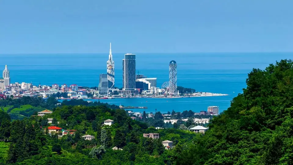 Photo: georgia.travel
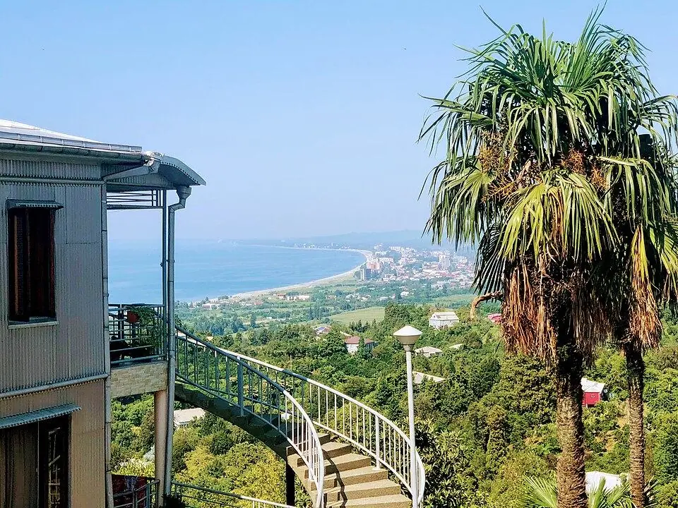
Seafront walks, the old town, the best pebble beaches and day trips from Roman Gonio to the mountain villages of Upper Adjara, plus the rain, the trains and where to sleep.
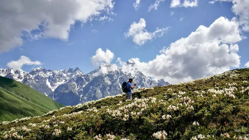 Photo: georgia.travel
Where to walk in Georgia's mountains and forests, when the passes open, how hard each trail is, what permits you need and how to stay safe, with tables of top walks and treks.