- The Caucasus Mountains stretch about 1,200 km from the Black Sea to the Caspian across Russia, Georgia, Azerbaijan and Armenia; in Georgia the Greater Caucasus forms most of the northern border, while the lower Lesser Caucasus spans the south.
- Elbrus (5,642 m), the range's highest peak, is in Russia; Georgia's highest are Shkhara (5,193 m) on the border above Ushguli and Kazbek (5,054 m) above Stepantsminda.
- Kazbegi is 3 hours from Tbilisi by a paved road kept open in winter, Svaneti is a long day's drive or a short flight, and Tusheti needs a 4x4 and the dirt road over the 2,950 m Abano Pass, usually passable from June to October.
- Treks and high passes are at their best from July to mid-September, valley walks from June to early October, and skiing from late December to March.
- Abkhazia and South Ossetia (the Tskhinvali region) are Georgian territories under Russian occupation; a few routes close to the frontier require your passport and a border-police sign-in.
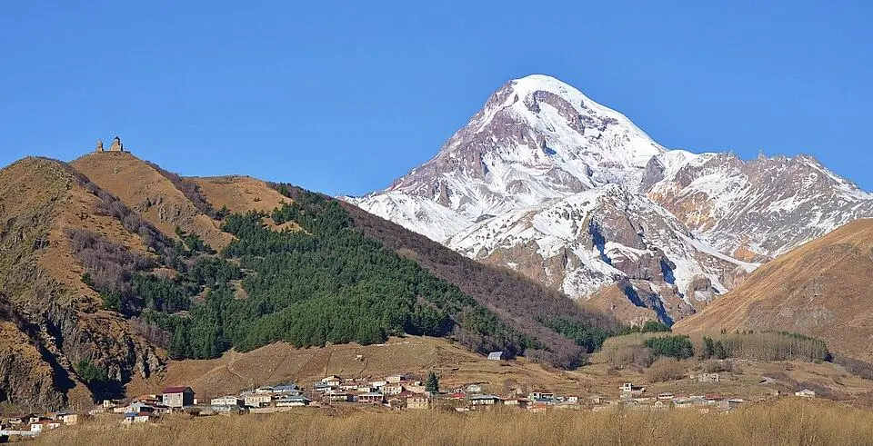
End to end the Caucasus Mountains measure ~1,200 km, with the Black Sea at one end and the Caspian at the other, and a large share of the range lies inside Georgia: the Greater Caucasus along its northern border with Russia and the lower Lesser Caucasus across the south. Georgia's highest summit is Shkhara (5,193 m) in Svaneti, while Mount Kazbek (5,054 m) above Stepantsminda is the giant most visitors see. Elbrus, the tallest of all at 5,642 m, stands across the border in Russia. From Tbilisi you can be at the foot of a 5,000 m peak in three hours.
This guide explains where the range lies and which countries share it, lists the highest mountains in Georgia with the heights we trust, and describes each mountain region: Svaneti, Racha, Kazbegi, Khevsureti, Pshavi and Tusheti on the main range, then Borjomi, Adjara and Javakheti in the Lesser Caucasus. It then turns practical, with the passes and when they open, the best months, Kazbegi, Svaneti and Tusheti side by side, the best walks and treks, border zones, safety and where to sleep.
Where are the Caucasus Mountains? The Caucasus region and its countries
The Caucasus Mountains fill the land bridge that runs from the Black Sea across to the Caspian, where south-eastern Europe meets western Asia. They are really two chains. The Greater Caucasus, the high one, runs east-south-east for roughly 1,200 km, from the Taman Peninsula on the Black Sea to the Absheron Peninsula at Baku, and is up to about 160 km wide. The Lesser Caucasus lies around 100 km further south: a lower, more broken group of ranges across southern Georgia, Armenia and Azerbaijan.
When people talk about the Caucasus region, they usually mean all the land between the two seas. The North Caucasus is part of Russia and includes Dagestan, Chechnya, North Ossetia and Kabardino-Balkaria. The South Caucasus, once called Transcaucasia, is three independent countries: Georgia, Armenia and Azerbaijan, and of those three Georgia has by far the longest stretch of the main ridge. Its crest is often treated as part of the line between Europe and Asia, though geographers have never fully agreed where that line runs. Between the two chains, a low cross-ridge called the Likhi range splits Georgia into a wet, green west and a drier east.
| The Caucasus at a glance | Figure |
|---|---|
| Length of the Greater Caucasus | About 1,200 km, Black Sea to Caspian Sea |
| Countries | Russia, Georgia, Azerbaijan and Armenia |
| Highest peak | Elbrus, 5,642 m, in Russia |
| Highest peak in Georgia | Shkhara (5,193 m), Svaneti, on the frontier with Russia |
| Highest point of southern Georgia | Didi Abuli, about 3,300 m, an extinct volcano in Javakheti |
| Ice | About 2,200 glaciers in the Greater Caucasus covering roughly 1,060 km² in 2020, nearly a quarter less than in 2000 |
| Seasons | High passes usually snow-free from July to mid-September; ski lifts from late December into March or April |
The Greater Caucasus in Georgia: the main ridge and why the passes matter
Inside Georgia the main ridge of the Greater Caucasus, the watershed between rivers flowing north and south, forms most of the border with Russia. It rises above the Black Sea coast of Abkhazia and runs past Svaneti, Racha, Kazbegi, Khevsureti and Tusheti to the forests above Lagodekhi. The largest glaciers and every 5,000 m summit sit in the central section, between Svaneti and Kazbek; further east the peaks are lower and the ice smaller.
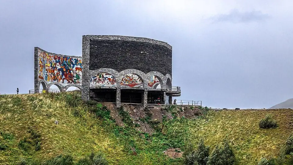
One fact of geography shapes almost every mountain trip here. Three of the best-loved areas lie beyond the watershed, on its Russian-facing side: the Tergi (Terek) flows out of Kazbegi into Russia, the Argun leaves Khevsureti for Chechnya, and the two Alazani rivers of Tusheti run into Dagestan. Reaching them from Tbilisi means crossing a high road pass: the Jvari Pass (2,379 m) for Kazbegi, Datvisjvari (about 2,676 m) for Shatili and Abano (about 2,950 m) for Tusheti. Svaneti and Racha lie on the southern slope, up long river gorges.
The western end of Georgia's Greater Caucasus lies in Abkhazia, and part of the central section in the Tskhinvali region (South Ossetia). Both are Georgian territories occupied by Russia, together roughly a fifth of the country. We do not travel there; everything in this guide can be visited freely from the rest of Georgia.
Highest mountains in Georgia: Shkhara, Kazbek and the 5,000 m peaks
Three Georgian summits top 5,000 m, and all three stand on or close to the Russian border. The two highest peaks of the whole range, Elbrus (5,642 m) and Dykh-Tau (5,205 m), are both in Russia, which leaves Shkhara third in the Caucasus and first in Georgia.
| Peak | Height | Where | What to know |
|---|---|---|---|
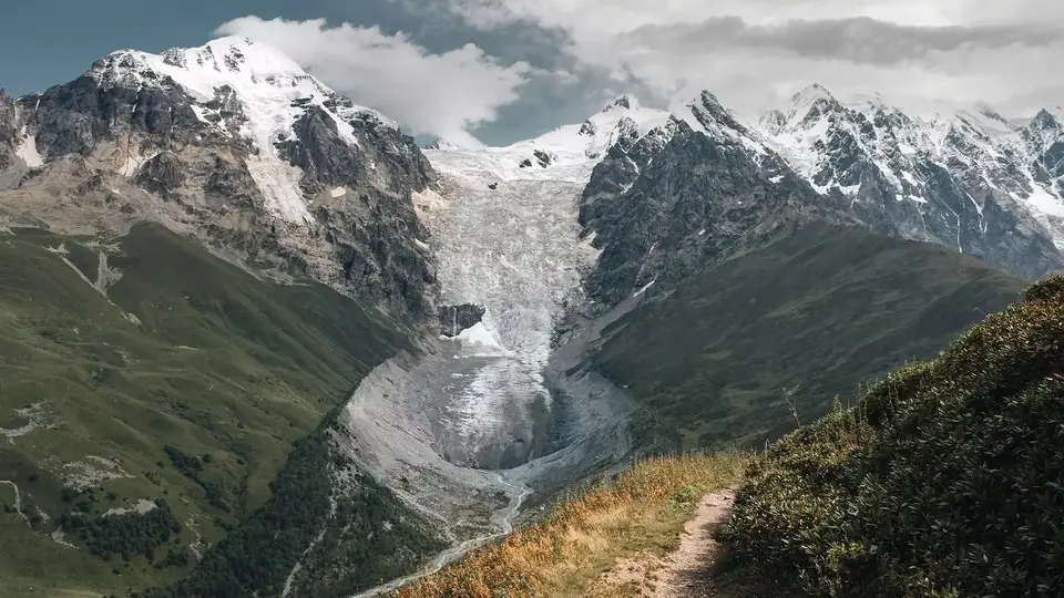
| Shkhara | 5,193 m | Svaneti, on the Russian border | Georgia's highest summit; its ice wall closes the valley above Ushguli, and a day walk reaches the glacier below it |
| Janga (Jangi-Tau) | About 5,060 to 5,085 m | Svaneti, on the Russian border | Shkhara's neighbour in the same great wall of ice, a remote objective for mountaineers |
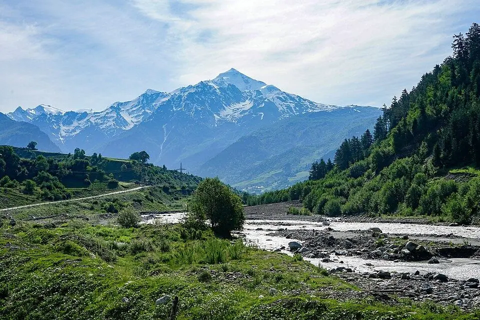
| Kazbek | 5,054 m | Kazbegi | A dormant volcano and the 5,000 m peak most people climb in Georgia, with Gergeti Trinity Church below |
| Tetnuldi | 4,858 m | Svaneti | A white pyramid east of Mestia; the ski area named after it sits on its lower slopes |
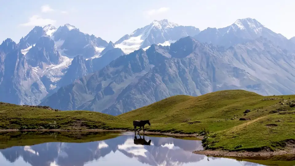
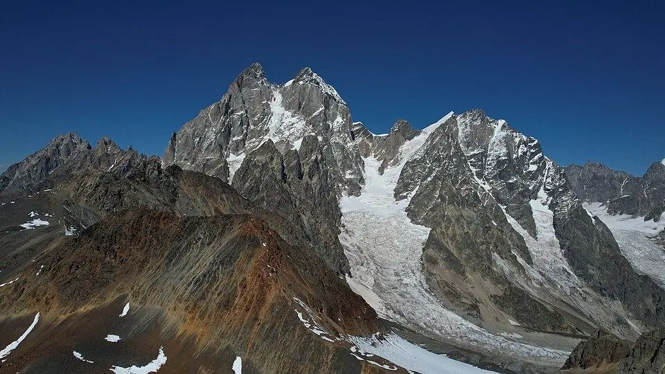
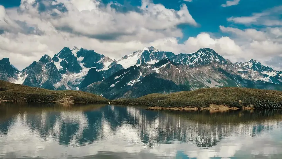
| Ushba | 4,710 m | Svaneti, Becho valley | Twin-horned and steep, a serious technical climb; best seen from Mazeri and the Koruldi Lakes |
| Tebulosmta | 4,493 m | Tusheti, on the Chechen border | The highest peak of the eastern Caucasus |
| Diklosmta | 4,285 m | Tusheti, on the Russian border | Rises above Diklo and Shenako, two of Tusheti's best walking villages |
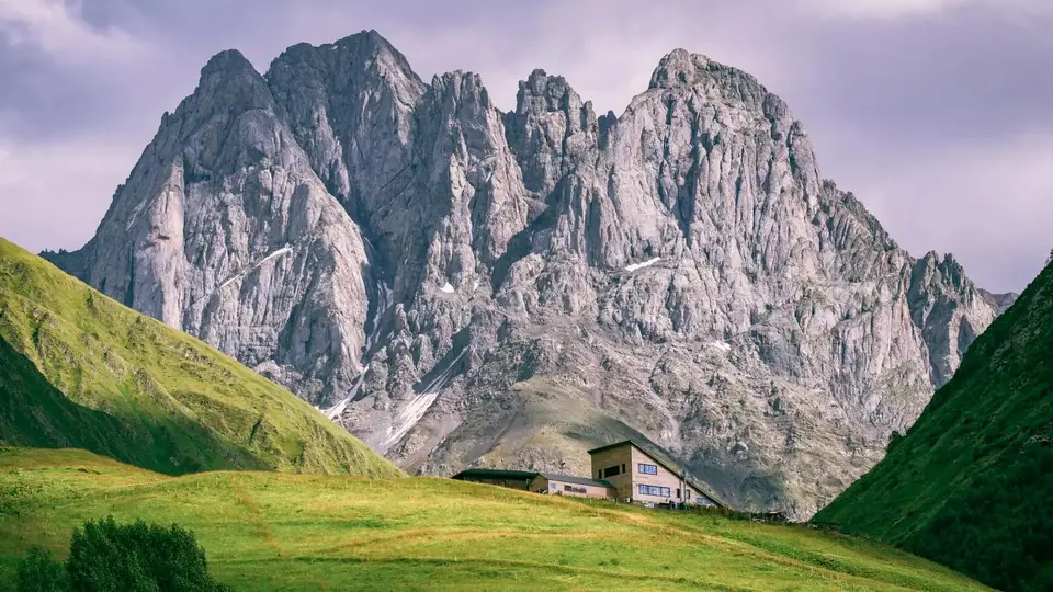
| Chaukhi | 3,842 m | Kazbegi, above Juta | A crown of rock towers, popular with climbers and the backdrop to the Chaukhi Pass trek |
| Didi Abuli | About 3,300 m | Javakheti | An extinct volcano above Paravani Lake, the top of Georgia's south |
Sources disagree on heights, so we use the most reliable figure we can find. For Shkhara that is 5,193 m, from a 2010 differential GPS survey; you will also meet 5,201 m, used by the national tourism site, and 5,203 m. For Kazbek we keep the long-standing 5,054 m, though some surveys give 5,047 m or 5,034 m. Janga has several summits, hence figures from about 5,059 m to 5,085 m.
To stand on a Caucasus giant, choose Kazbek. The normal route from Stepantsminda crosses the Gergeti Glacier to the old weather station at about 3,650 m, and summit day starts in the small hours. It is a glacier ascent, not a rock climb, but it needs crampons, a rope, a certified guide and days of acclimatisation; Shkhara, Ushba and Tetnuldi are for experienced alpinists. For views alone, go to Gergeti Trinity Church for Kazbek, the Koruldi Lakes for Ushba and Ushguli for Shkhara.
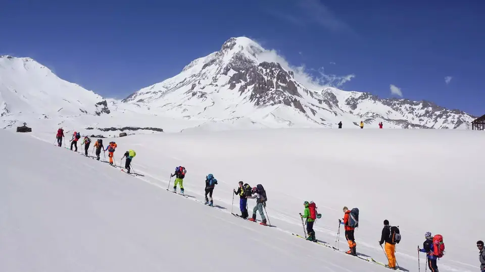
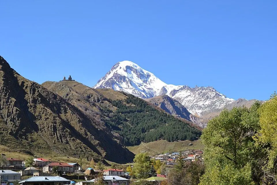
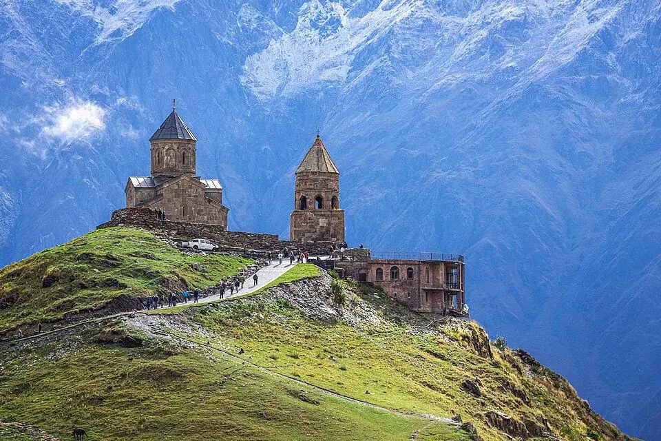
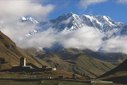
Georgia's Greater Caucasus regions: Svaneti, Racha, Kazbegi, Khevsureti, Pshavi and Tusheti
For centuries snow cut each high valley off from the next for half the year, so each kept its own dialect, buildings, food and feast days. They also differ a great deal in how hard they are to reach. Here they are from west to east.
Svaneti: towers, glaciers and Georgia's highest peaks
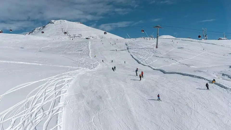
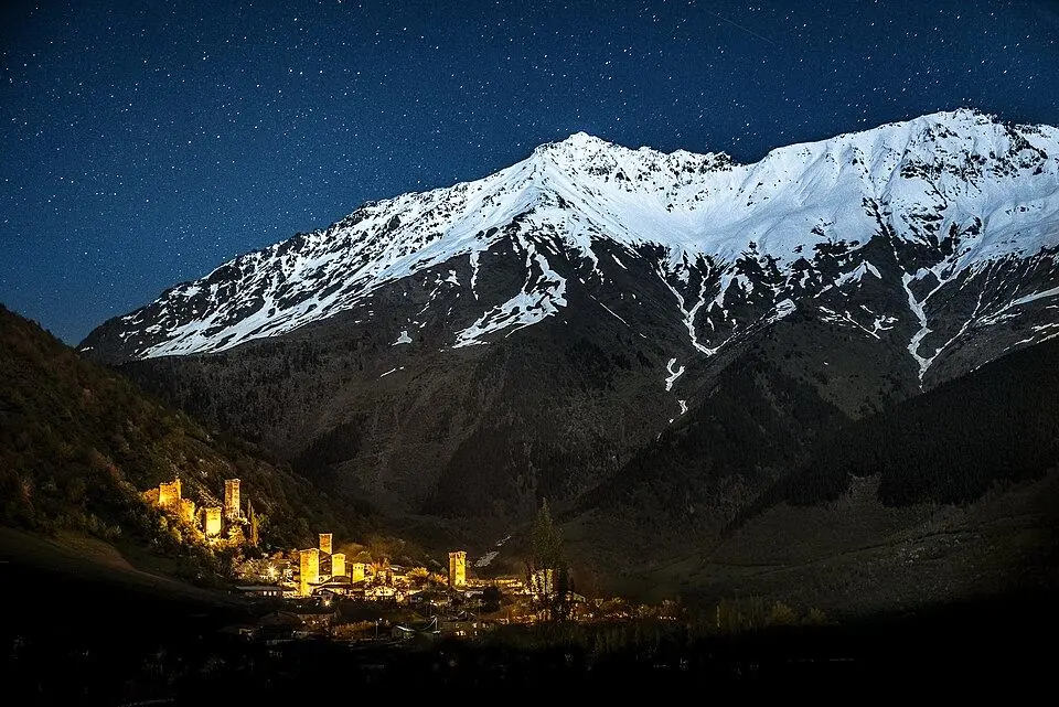
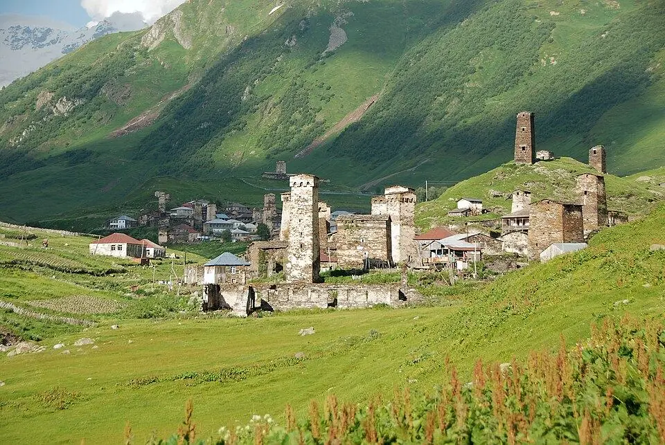
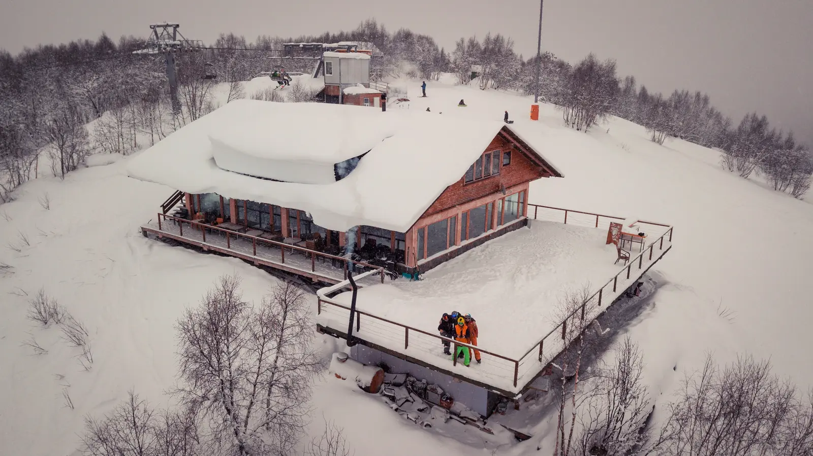
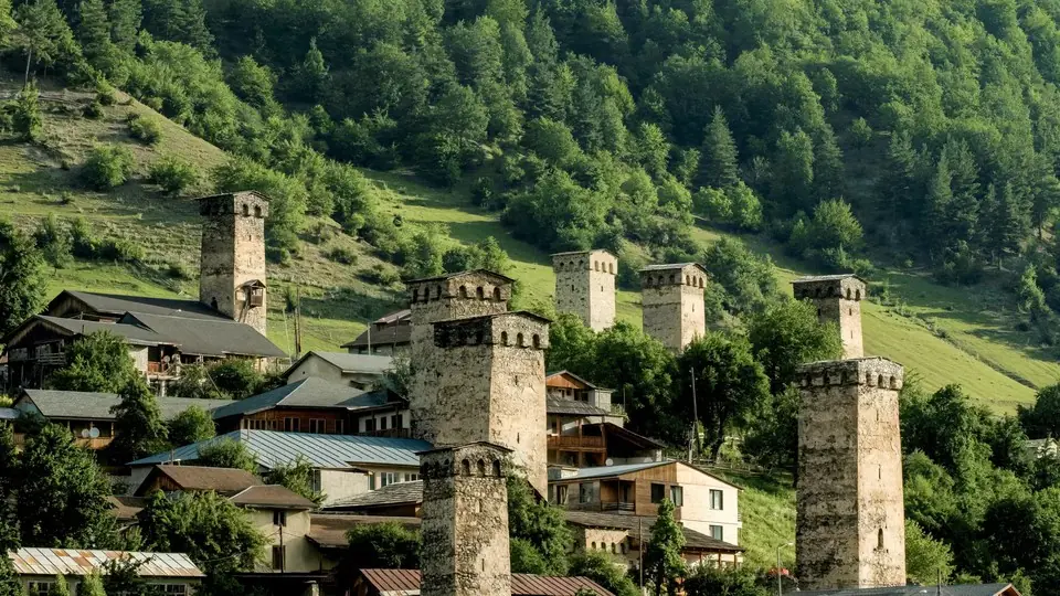
Upper Svaneti fills the head of the Enguri valley in the north-west. Mestia, its small capital at roughly 1,500 m, has a superb museum of medieval icons, an airport for light aircraft and two ski areas, Hatsvali and Tetnuldi. Ushguli, 45 km further up at about 2,100 m, is a group of tower villages under Shkhara and the heart of the UNESCO listing of 1996. Season: July to mid-September for treks, June and late September for valley walks, late December to early April for skiing. Give it three nights at least; our Svaneti travel guide has the details.
Racha: forests, wine and empty ridges
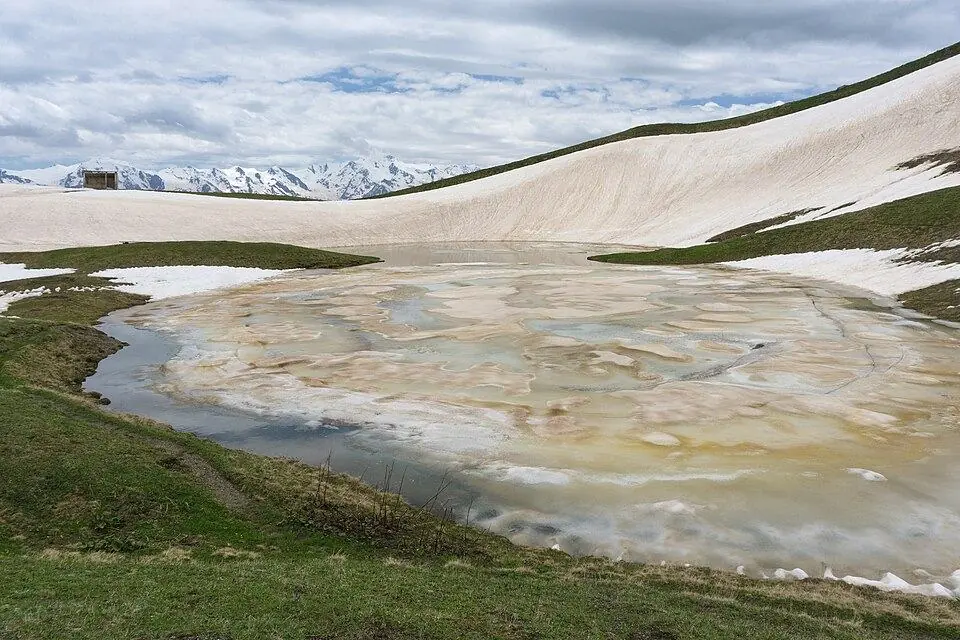
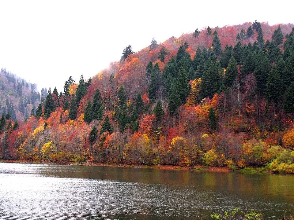
Racha occupies the upper Rioni valley east of Svaneti. Around Ambrolauri the vineyards grow the grapes for semi-sweet Khvanchkara, and Nikortsminda Cathedral, finished early in the 11th century, is covered in fine stone carving. Upper Racha, above Oni, is beech forest and alpine meadow that few trekkers reach; from Glola a two-day walk climbs to Udziro Lake, near 2,800 m. The mudflow of August 2023 wrecked most of the Shovi resort, and the valley ends below the Mamisoni Pass (about 2,911 m), on the Russian frontier and not a crossing. Season: late May to October, high walks from late June.
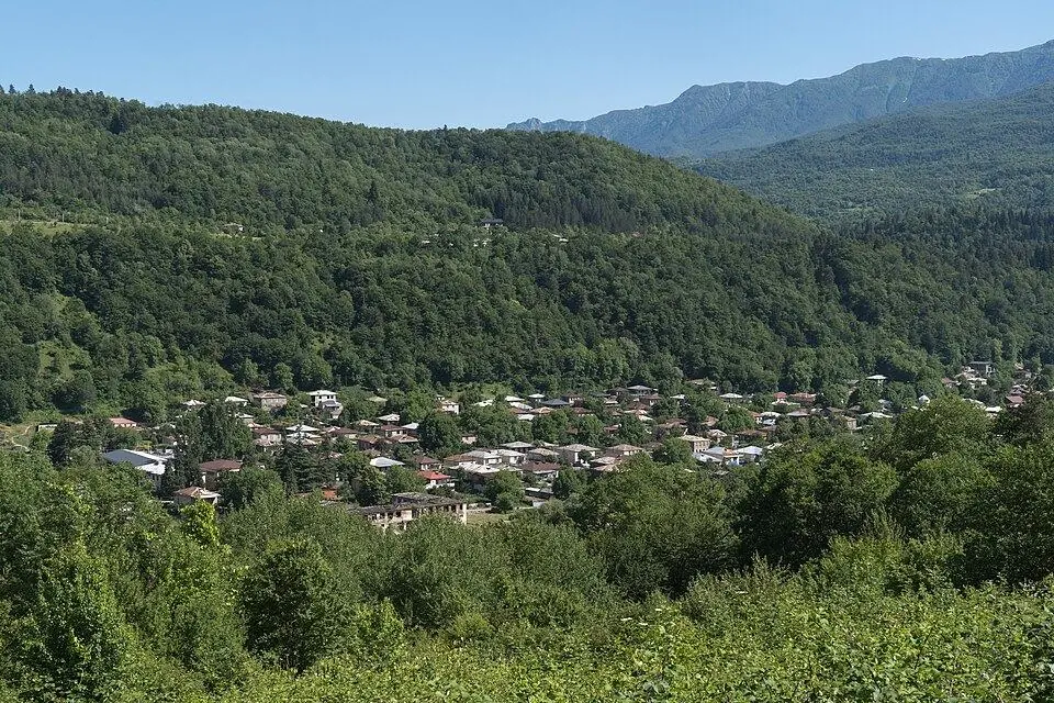
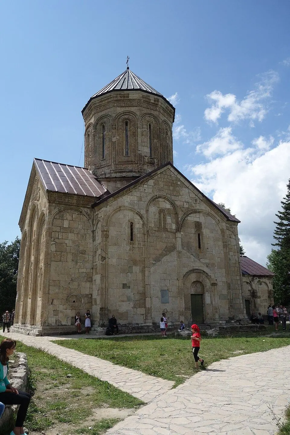
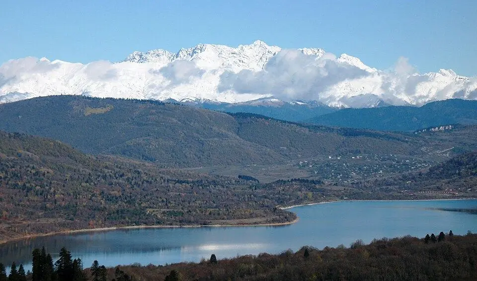
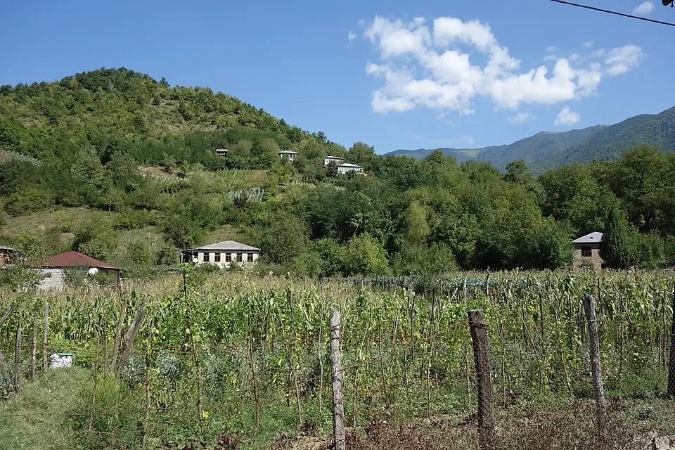
Kazbegi (Khevi): the easiest high mountains to reach
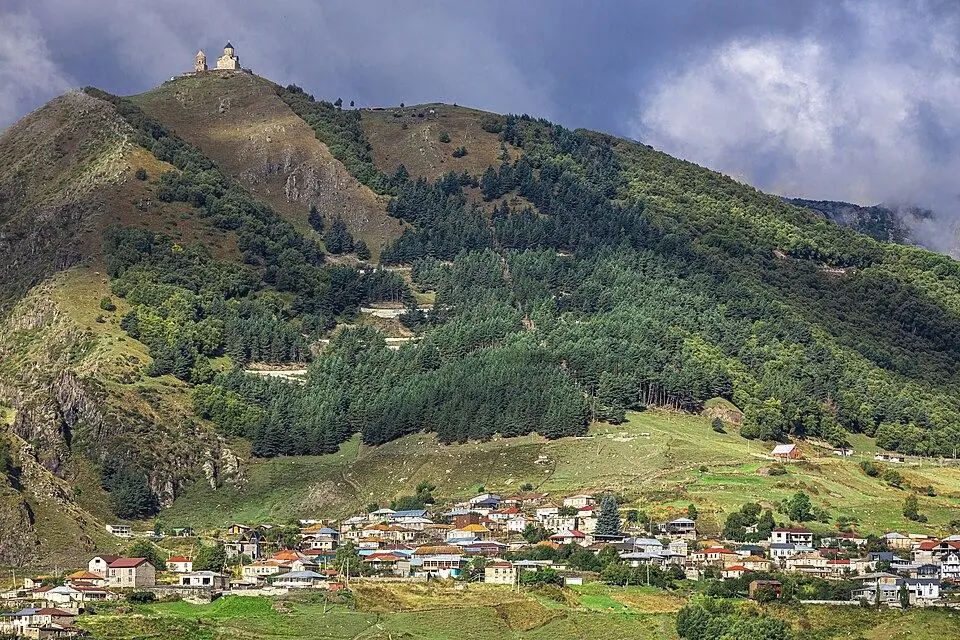
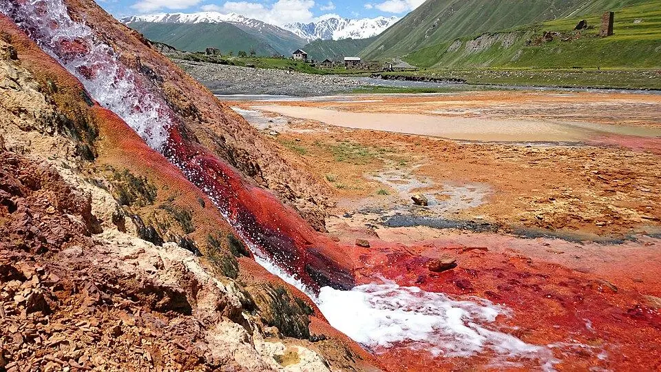
Khevi, usually called Kazbegi after the old name of its main town, is the upper Tergi valley beyond the Jvari Pass. Stepantsminda (about 1,740 m) lies roughly 155 km north of Tbilisi, three hours away on a paved road kept open in winter, which makes this the busiest part of the Georgian Caucasus. Gergeti Trinity Church (2,170 m) stands on a spur below Kazbek, Juta village sits near 2,200 m beneath the rock spires of Chaukhi, and the Truso valley leads west past red and orange travertine springs to Zakagori fortress. Gudauri, just south of the pass, is the country's largest ski resort. Season: June to September for hiking, any month for a visit; see our Kazbegi travel guide.
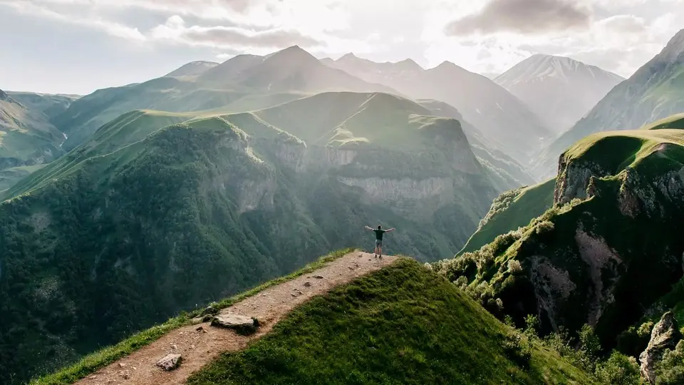
Khevsureti: fortress villages near the Chechen border
Khevsureti lies east of Kazbegi and is divided by its own high pass. On the southern side, Roshka is the trailhead for the three Abudelauri lakes under the eastern face of Chaukhi. From Zhinvali a gravel road climbs over the Datvisjvari Pass into the northern valleys, where Shatili, a fortified village of linked stone towers at about 1,400 m, guards the Argun gorge, and the towers of Mutso cling to a cliff above the Andaki river. Season: the pass is usually open to 4x4s from the end of May or June into November or December, though summer landslides can shut it for weeks; walk from July to mid-September.
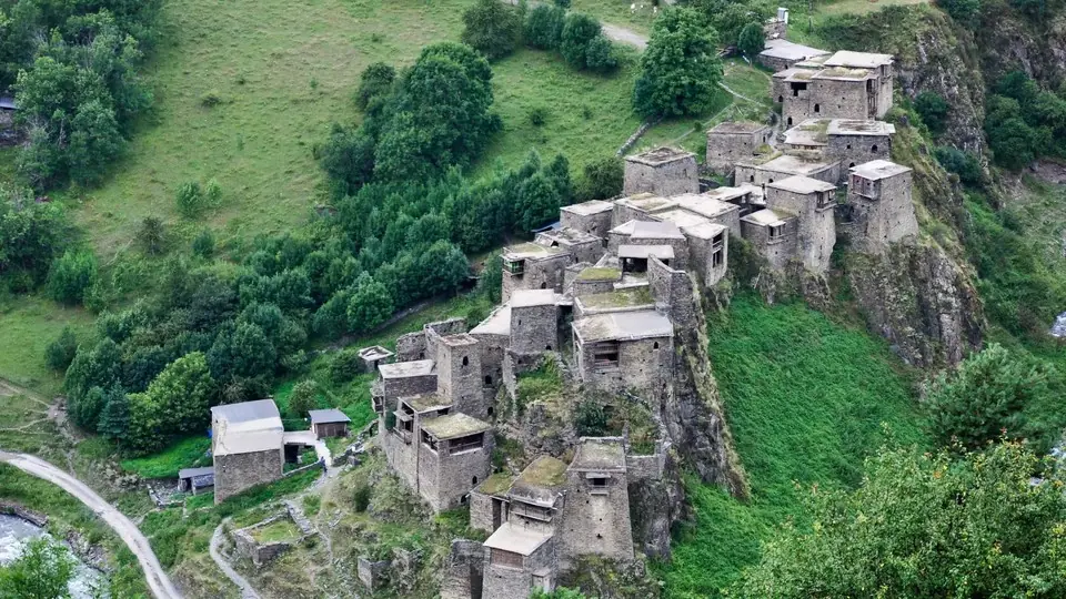
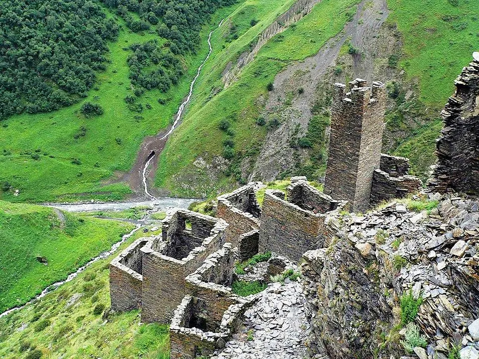
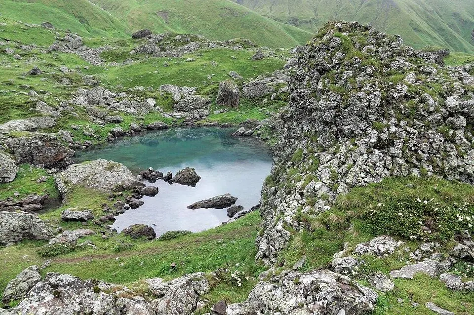
Pshavi: the forested valleys in between
Pshavi is the gentler country between Kakheti and Khevsureti, along the Pshavi Aragvi that the Shatili road follows north from the Zhinvali reservoir. It is lower and wooded, with hay meadows, small stone shrines and only a handful of guesthouses. Chargali is the birthplace of the poet Vazha-Pshavela, whose pen name means 'son of Pshavi', and his house there is now a museum. Its paths are good in May, June and early autumn, when the higher regions are snowbound or closing, and a long, remote route over the Borbalo area links it on foot with Tusheti.
Tusheti: horse country over the Abano Pass
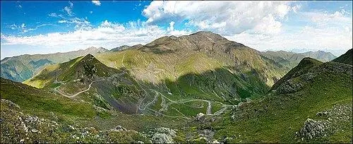
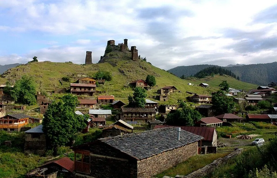
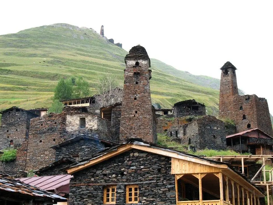
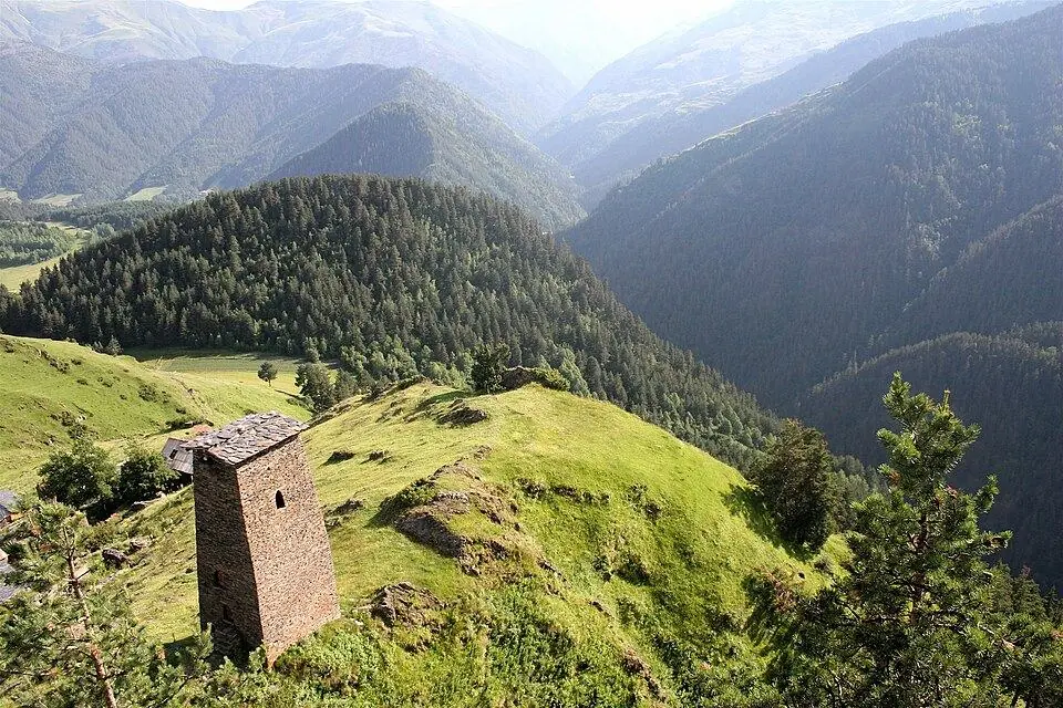
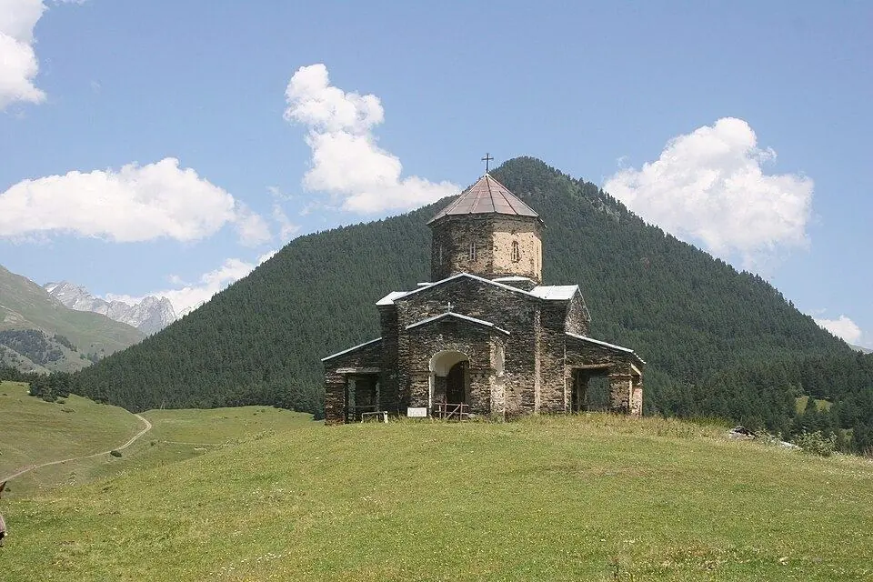
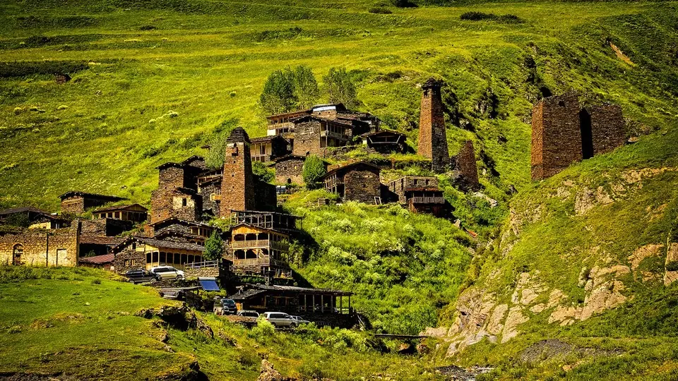
Tusheti, in the far north-east, lies entirely beyond the watershed, and a single dirt road gets there: 72 km from Pshaveli in Kakheti over the 2,950 m Abano Pass, open to 4x4s only. The main village, Omalo (about 1,880 m), sits below the restored Keselo towers; slate-roofed Dartlo and the villages of the Pirikiti valley lie further up, under Tebulosmta. Tush families still bring their flocks up for the summer and drive them down to the Alazani plain in autumn, and most guesthouses open only while the road does. Season: the road usually opens between late May and late June and closes in October; July to early September is best. There is no cash machine.
Lagodekhi: the eastern end
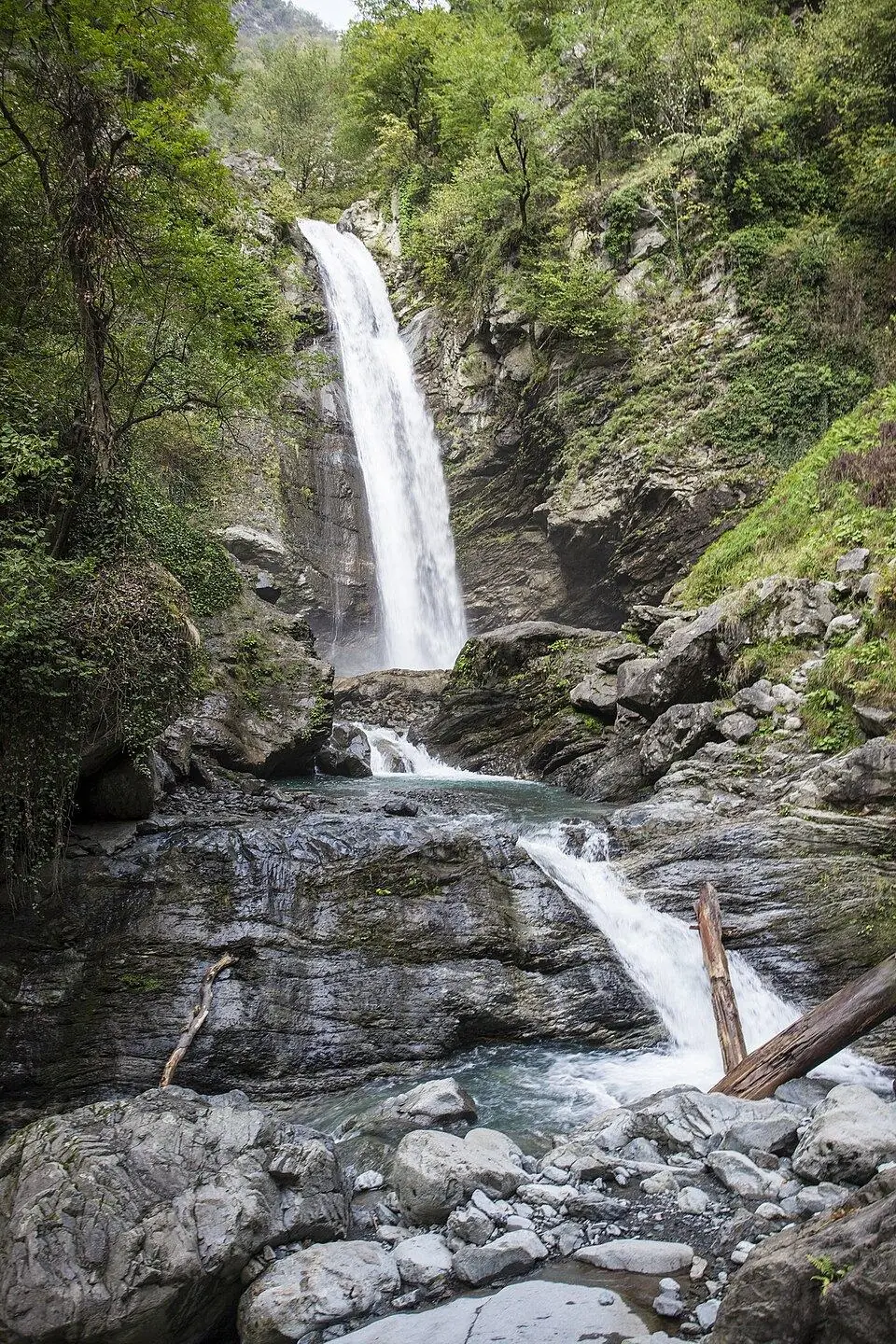
At Georgia's eastern tip, Lagodekhi National Park, the country's oldest protected area (a reserve since 1912), climbs from lowland forest to ridges of about 3,500 m on the Dagestan border. Its waterfall walks work from spring to late autumn, and the three-day trek to Black Rock Lake runs in high summer with a border permit.
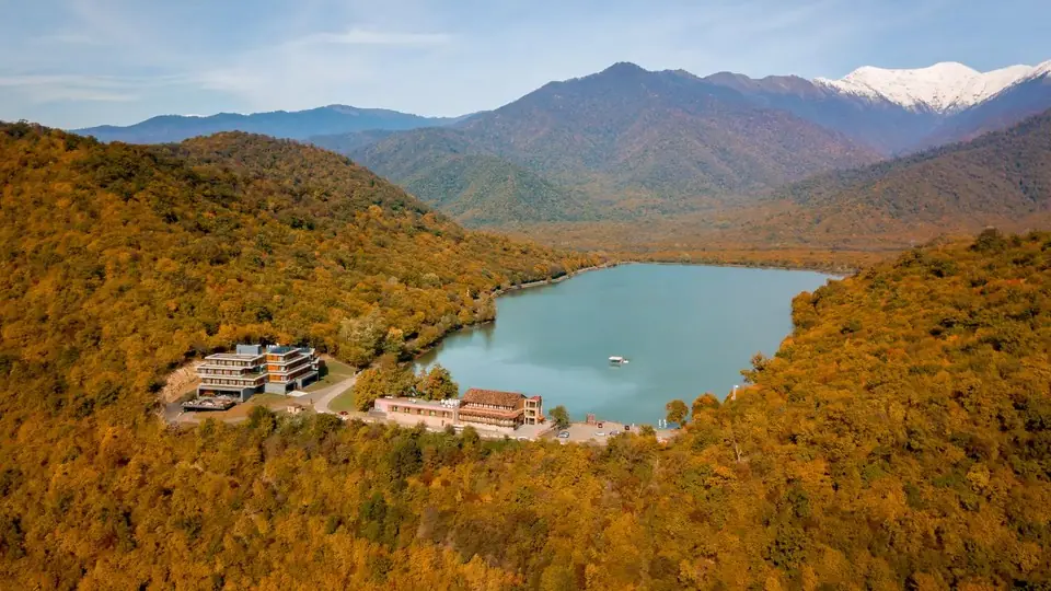
The Lesser Caucasus in Georgia: Borjomi, Adjara and Javakheti
South of the Rioni and Mtkvari lowlands the mountains change character. Georgia's Lesser Caucasus, chiefly the Meskheti, Trialeti and Arsiani ranges and the volcanic Javakheti highlands, mostly tops out between 2,000 and 3,000 m. There are no glaciers, the walking season is longer, and beech, fir and spruce cloak the northern slopes.
Borjomi and Bakuriani
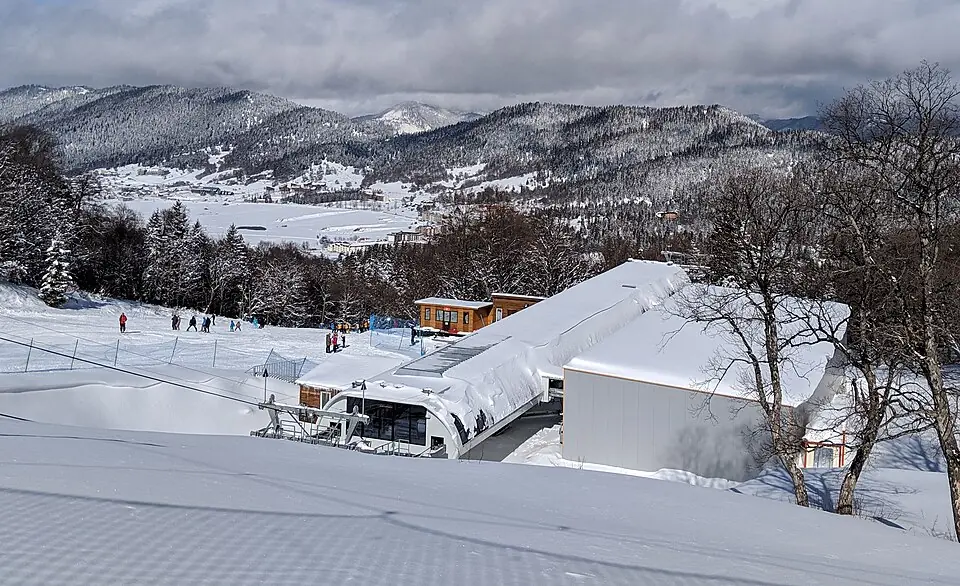
Borjomi, whose fizzy mineral water is exported far beyond Georgia, sits at about 800 m in the wooded Mtkvari gorge, some 160 km west of Tbilisi. Above it, Borjomi-Kharagauli National Park, created in 1995, covers about 85,000 ha with marked trails and basic shelters, including the four-day St Andrew Trail. Bakuriani, at about 1,700 m, is the family ski resort in winter and a cool walking base in summer. Season: late May to October for the park's high trails.
Adjara and Guria
Behind Batumi the ranges rise almost straight out of the Black Sea and catch more rain than any other part of the country; Mtirala National Park, a short drive from the city, protects humid Colchic forest. Inland the road climbs through Khulo to the Goderdzi Pass (2,027 m), with a deep-snow ski resort and Green Lake nearby; the road on to Akhaltsikhe usually opens in late April or May and shuts between November and mid-December. In neighbouring Guria, the summer resorts of Bakhmaro, at about 1,950 m, and Gomismta sit on high meadows above the clouds. Season: May to October for walking, mid-December to early April for skiing.
Javakheti: lakes and extinct volcanoes
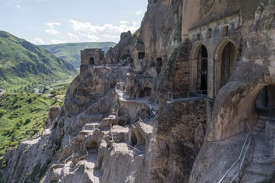
Javakheti, in the far south near the Armenian and Turkish borders, is a treeless plateau at around 2,000 m: huge skies, old lava flows, wetlands busy with birds and broad lakes such as Paravani (2,073 m) and Tabatskuri. Above them the extinct cones of the Abul-Samsari range culminate in Didi Abuli. On the plateau's western edge, the 12th-century cave monastery of Vardzia is carved into the cliffs of the upper Mtkvari. Season: June to September; winters are long and harsh.
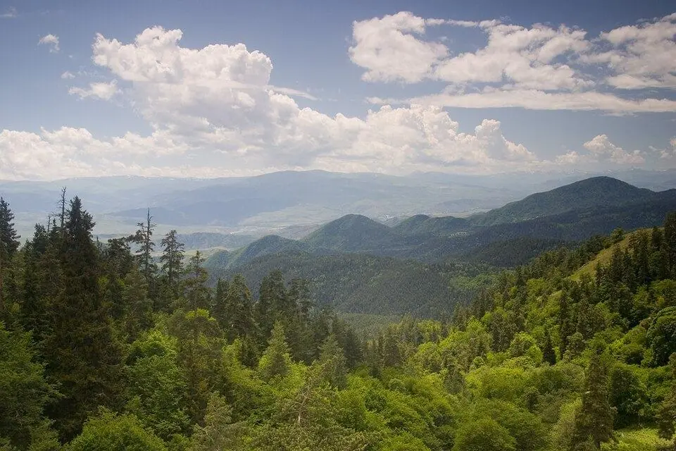
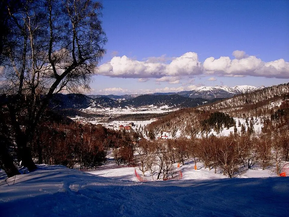
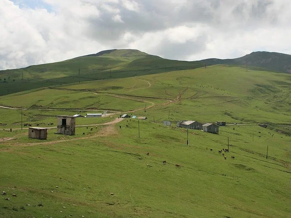
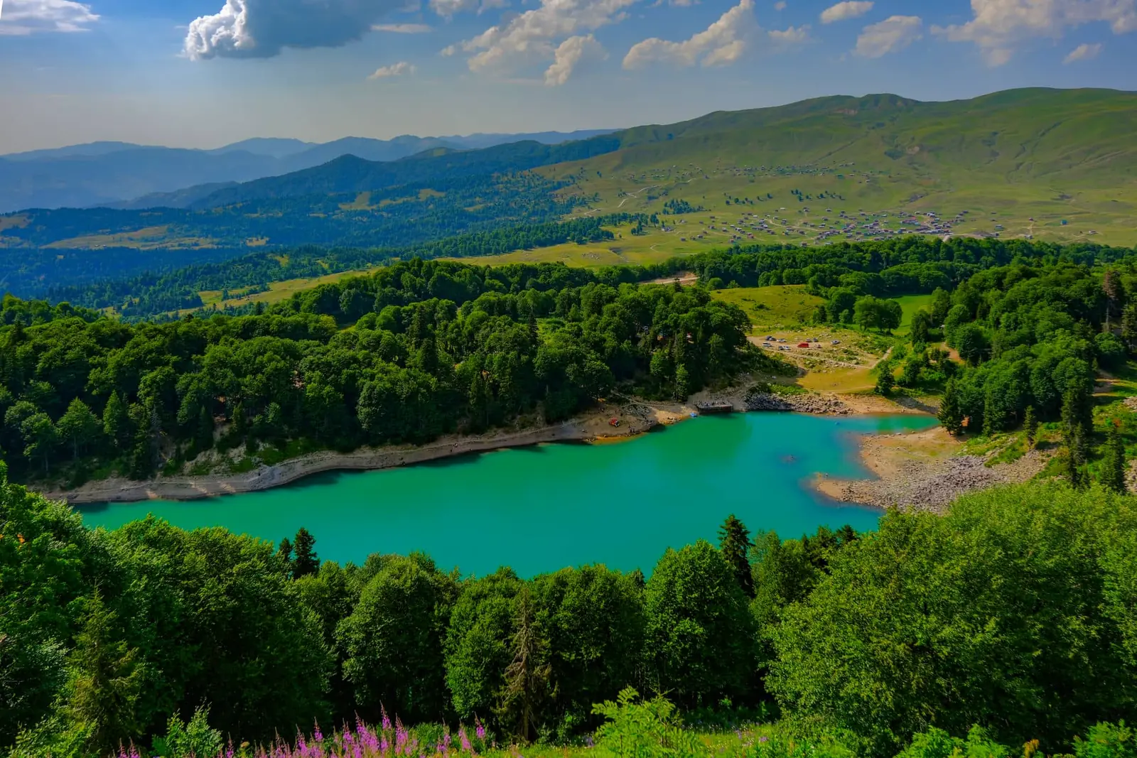
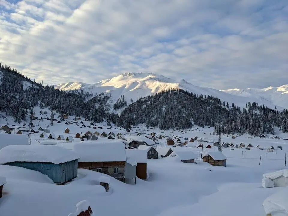
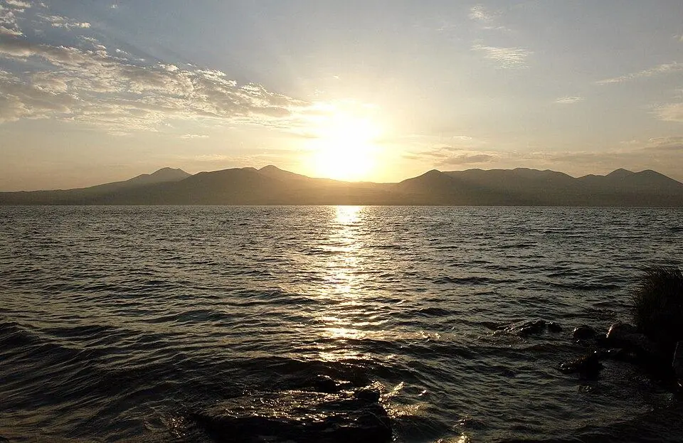
Kazbegi vs Svaneti vs Tusheti: which Caucasus region should you visit?
Most first-time visitors have time for one or two mountain regions, and the choice almost always comes down to these three. Each is superb. What separates them is access, season and how far from home comforts you are willing to go.
| Kazbegi | Svaneti | Tusheti | |
|---|---|---|---|
| From Tbilisi | About 155 km, 3 h on a paved road | About 460 km, 8 to 9 h; 4 to 4.5 h from Kutaisi; about 1 h by small plane | About 200 km, a full day; the last 72 km by 4x4 over a 2,950 m pass |
| Base | Stepantsminda, about 1,740 m | Mestia, about 1,500 m, and Ushguli, about 2,100 m | Omalo, about 1,880 m |
| Big peaks | Kazbek, 5,054 m | Shkhara 5,193 m, Tetnuldi 4,858 m, Ushba 4,710 m | Tebulosmta 4,493 m, Diklosmta 4,285 m |
| Reachable | All year | All year | Roughly June to October |
| Best months | June to September | July to mid-September for treks; skiing from late December | July to early September |
| Shortest sensible stay | A long day trip, better one or two nights | Three nights | Three nights |
| Highlights | Gergeti Trinity Church, Juta, Truso, the Kazbek climb | Svan towers, Ushguli, glacier walks, the Mestia to Ushguli trek | Tower villages, horse riding, shepherd life, the Atsunta crossing |
| Crowds | The busiest of the three | Busy in Mestia and Ushguli in July and August | Quiet |
| Money and signal | ATMs, cards and good signal in Stepantsminda | ATMs in Mestia; cash only in the villages | No ATM, patchy signal, bring cash |
| In winter | Skiing at Gudauri; the road stays open with snow closures | Skiing at Hatsvali and Tetnuldi | Cut off: the road is closed |
- Short trip, winter trip or first taste of the mountains: choose Kazbegi, the only one of the three you can count on reaching in any month.
- Five days or more for the mountains: choose Svaneti, with the most to see, the best day hikes and the country's best-known trek.
- Summer and a love of remote places: choose Tusheti. Accept a rough 4x4 ride and little phone signal, and you get tower villages, horses and valleys with very few visitors.
- Two regions on one trip: Kazbegi joins Khevsureti on foot over the Chaukhi Pass, and Svaneti on an east-to-west loop of the country. Tusheti needs three to five days of its own.
How to get into the mountains: roads, passes and flights
Every Georgian mountain region is within a day of Tbilisi, but the roads range from a two-lane highway to a dirt shelf above a drop. The table shows the main routes, their high points and their usual season, based on the official Roads Department closure notices from 2022 to 2026.
| Route | High point | Vehicle | Usually open | Time |
|---|---|---|---|---|
| Georgian Military Road to Kazbegi, over the Jvari Pass | 2,379 m | Any car | All year; closures after heavy snow, mainly December to April | About 3 h from Tbilisi |
| Zugdidi to Mestia, up the Enguri gorge | Mestia, about 1,500 m | Any car | All year | 8 to 9 h from Tbilisi, 4 to 4.5 h from Kutaisi |
| Mestia to Ushguli | Ushguli, about 2,100 m | Any car in summer; chains often required in winter | All year, with short avalanche and rockfall closures | About 1.5 h |
| Ushguli to Lentekhi, over the Zagari Pass | About 2,620 m | 4x4 advised | Late May or June to late October or early December | 4 to 5 h from Ushguli to Kutaisi |
| Zhinvali to Shatili, over the Datvisjvari Pass | About 2,676 m | 4x4 only on the pass section | Late May or June to mid-November or December | 4.5 to 5 h from Tbilisi |
| Pshaveli to Omalo, over the Abano Pass | About 2,950 m | 4x4 only | Late May or June to October | A full day from Tbilisi |
| Kutaisi to Ambrolauri and Oni | Nakerala Pass, a low forest pass | Any car | All year | 1.5 to 2 h from Kutaisi to Ambrolauri |
| Batumi to Akhaltsikhe, over the Goderdzi Pass | 2,027 m | Ordinary car | Late April or May to November or mid-December | Up to 3 h from Batumi to the pass in summer |
Snow, rockfall and landslides can shut any of these roads without warning, and a summer storm can block one for days. Before you set off, look at our road status page, which follows these passes through the Roads Department's official notices. Tusheti has the tightest window: in recent years the Abano road opened between 25 May and 20 June and closed for winter between 4 and 27 October, so aim for July or August.
Buses, drivers, self-drive and flights
Stepantsminda, Mestia, Borjomi and the Racha towns are easy to reach by marshrutka (shared minibus) or bus, and Mestia also by the morning train to Zugdidi and a minibus on from there. Tusheti and Shatili call for a 4x4 and an experienced local driver. In season shared jeeps run from Kvemo Alvani to Omalo: a seat ran 100 to 120 GEL (roughly $37 to $44) in 2026, and hiring the vehicle alone one way cost between 500 and 650 GEL (roughly $185 to $240).
If you drive yourself, keep to paved roads unless you have mountain experience and a rental contract that allows gravel passes. Winter tyres are required on listed mountain sections between 1 December and 1 March, and police can insist on chains in snow. A private driver is the simplest way to link several regions. Light aircraft connect Natakhtari airfield, some 30 km from Tbilisi, with Mestia in roughly an hour, and Ambrolauri has a small airport with irregular flights; both need clear weather, so never hang an international connection on them.
Best time to visit the Caucasus Mountains in Georgia
Altitude sets the season more than the calendar does. Villages at 1,500 to 2,200 m, such as Stepantsminda, Mestia and Omalo, are green from June to October, but passes of 2,700 m and above are normally clear of snow only from early July to mid-September, and fresh snow can dust them in any month.
| Months | In the high mountains | Roads | Best for |
|---|---|---|---|
| January to March | Deep snow and avalanche danger on steep ground | Kazbegi and Mestia open with closures; Tusheti, Shatili, Zagari and Goderdzi shut | Skiing at Gudauri, Bakuriani, Goderdzi, Hatsvali and Tetnuldi; Lamproba in Svaneti, usually 14 February |
| April and May | Thaw; snow lies on the passes and rivers rise | Goderdzi from late April; Shatili and Abano from late May at the earliest | Spring skiing at Gudauri; forest walks in Borjomi, Lagodekhi and Adjara |
| June | Green valleys and flowers; snow above about 2,800 m | Abano and Datvisjvari usually open during the month | Valley walks in Kazbegi and Svaneti; Tusheti from late June |
| July and August | Warmest; thunderstorms most afternoons | Everything open | Treks and high passes, Kazbek climbs, summer festivals in Tusheti and Svaneti |
| September | Settled weather, cold nights, colour by the end of the month | Everything open | The best trekking month, with fewer people |
| October | Golden birch woods; first snow on the passes | The Abano road closes for winter | Kazbegi and Svaneti by car, photography, the Racha grape harvest |
| November and December | Cold and grey until the snow settles | The Shatili road usually closes; ski lifts start in late December | Quiet visits and the start of the ski season |
If you can pick only one window, take the last days of August and the first half of September: rivers run lower, the weather is steadier and the busiest weeks are over. For the lowlands and the coast, see our month-by-month page on the best time to visit Georgia; for snow, our winter guide covers skiing, freeride and ski touring.
Hiking in the Caucasus: the best day hikes and treks in Georgia
The Georgian Caucasus is one of the easiest great ranges to walk in. Most routes need no permit, villages are often a day's walk apart, and guesthouses feed you at both ends. These are the walks we would choose first; day-hike figures are there and back, trek figures end to end, and all are approximate. For more, see our hub on hiking in Georgia and our comparison of multi-day treks.
| Walk | Region | Distance and days | High point | Season |
|---|---|---|---|---|
| Stepantsminda to Gergeti Trinity Church | Kazbegi | About 7 km, half a day | 2,170 m | May to October |
| Gergeti Glacier via the Sabertse Pass | Kazbegi | About 20 km, a long day | Near 3,000 m | Late June to September |
| Koruldi Lakes from Mestia | Svaneti | About 19 km, a long day, shorter with a jeep | Near 2,800 m | July to September |
| Ushguli to the Shkhara Glacier | Svaneti | About 16 to 17 km, a day | About 2,500 m | June to September |
| Abudelauri Lakes from Roshka | Khevsureti | About 14 km, a day | About 2,800 m | July to September |
| Oreti Lake from Omalo | Tusheti | About 24 km, a long day | About 2,650 m | July to September |
| Mestia to Ushguli trek | Svaneti | About 57 km, 4 days, guesthouses | About 2,700 m | July to mid-September |
| Juta to Roshka over the Chaukhi Pass | Kazbegi to Khevsureti | About 18 km, 1 to 2 days | About 3,340 m | Mid-July to mid-September |
| Omalo to Shatili over the Atsunta Pass | Tusheti to Khevsureti | About 75 to 85 km, 5 to 6 days, camping | About 3,430 m | Mid-July to early September |
| Udziro Lake from Glola | Racha | About 22 to 24 km, 2 days, camping | Near 2,800 m | July to September |
| Black Rock Lake | Lagodekhi | About 40 to 48 km, 3 days, park shelters | About 2,800 m | July to September |
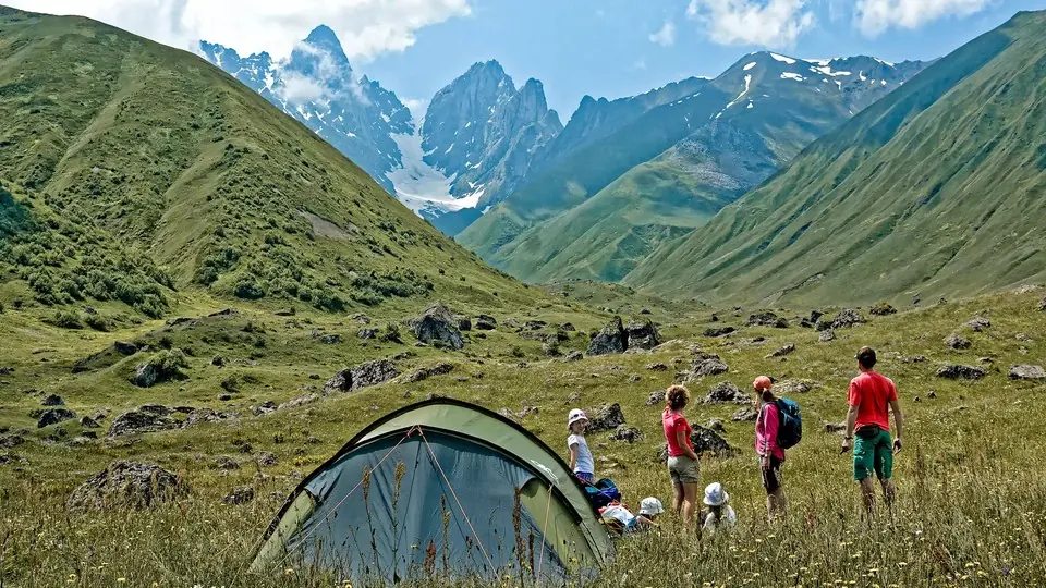
In summer you can manage the day walks around Stepantsminda, Mestia and Omalo on your own with a downloaded map. Hire a guide for the high crossings, Chaukhi and above all Atsunta, for June and late September, and whenever you want horses, a cook and border paperwork handled. For nights under canvas, read our guide to camping in Georgia.
We run every trek as a private trip: any date, any group size and a guide in your language, with no age limit for children because we plan each family's days around the youngest walker. Tents, pack horses and trekking gear come either included or as an extra; the tour pages list what is included in each trip.
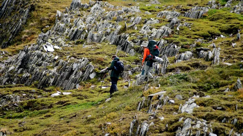
Safety, permits and border zones in the Georgian Caucasus
Crime is rarely a worry in the Georgian mountains. The risks are the usual mountain ones (weather, altitude, cold rivers and dogs), made more serious by the distance from help. For the rest of the country, our safety guide covers whether Georgia is safe to visit.
- Dial 112 for police, ambulance and mountain rescue. A rescue helicopter needs clear skies and may be hours away, so carry a first-aid kit and a charged phone.
- Foreign visitors have needed travel insurance with health cover since 1 January 2026. For treks above 3,000 m or a Kazbek climb, check that it covers mountain rescue.
- Storms build on most summer afternoons: start at first light and aim to be down from ridges and passes by about 2 pm.
- Glacier rivers swell as the day warms, so cross in the morning or pay a local horseman.
- Big Caucasian sheepdogs guard the flocks from June to September. Stand still and wait for the shepherd.
- In winter, avalanches close roads and make off-piste slopes deadly; hire a mountain guide for anything beyond the marked runs.
Border zones and permits
You need no permit for almost every trail. The exceptions cluster near the frontier, because the main ridge doubles as the Russian border. Carry your original passport, not a copy, everywhere in the high mountains.
- Omalo to Shatili: sign in, free of charge, at the border police in Girevi before the Atsunta Pass; the permit is checked again at the Khidotani post on the Khevsureti side.
- Kazbek: register at the border police office in Stepantsminda before you start the ascent.
- Black Rock Lake in Lagodekhi lies right on the Dagestan border and needs a border permit arranged in advance.
- Expect passport checks on the trails around Mazeri under Ushba, on the road to Shatili and Mutso, and on ridge routes in Adjara close to Turkey, some of which need a Border Police document.
- Lagodekhi, Borjomi-Kharagauli and Mtirala national parks ask walkers to register at the visitor centre.
Abkhazia, the Tskhinvali region and the occupation line
Two Georgian regions are under Russian occupation: Abkhazia, along the north-western coast and mountains, plus the Tskhinvali region, also called South Ossetia, in the heart of the country. Some mountain valleys end close to the occupation line, for example beyond Zakagori fortress in the Truso valley and around Lake Kelitsadi. Never walk past a Georgian police post or follow a map app towards the line, as people have been detained there. Under Georgian law, entering these regions from Russia is illegal. We run no trips to either region.
Where to stay in the Georgian Caucasus: guesthouses, hotels and huts
Family guesthouses are the backbone of mountain travel in Georgia. You get a simple room, often with a shared bathroom, and dinner and breakfast cooked by the household. Half board ran to roughly 90 to 130 GEL (about $33 to $48) a person in 2026, more in Mestia and Stepantsminda in August. Book ahead for July and August and bring cash, because few places outside the main towns take cards.
- Kazbegi: the widest choice, from village guesthouses in Gergeti and Sno to large hotels in Stepantsminda, simple lodges in Juta and ski hotels in Gudauri.
- Svaneti: guesthouses and hotels near Seti Square in Mestia, and family guesthouses in Ushguli, Mazeri and Adishi. A night in Ushguli beats an extra one in Mestia.
- Tusheti: guesthouses in Omalo, Dartlo, Shenako and other villages, open roughly June to early October with the road.
- Khevsureti and Racha: a few guesthouses in Shatili and Roshka, beyond which hikers camp; hotels in Ambrolauri and Oni.
- Lesser Caucasus: spa hotels in Borjomi, resort hotels in Bakuriani and Goderdzi, and park shelters on the Borjomi-Kharagauli and Lagodekhi trails.
- High huts: the former weather station on Kazbek, at about 3,650 m, is the base for most summit climbs.
On our private tours we book the beds, choose guesthouses we know well and, on camping routes, bring the tents, mats and camp kitchen. Travelling with children? Tell us their ages and we will shape rooms, walks and drive times around them.
Caucasus Mountains FAQ
Where are the Caucasus Mountains?
They form a double chain on the isthmus between the Black and Caspian seas, shared by Russia, Georgia, Azerbaijan and Armenia. The Greater Caucasus is the high northern chain, about 1,200 km long; the Lesser Caucasus runs roughly 100 km to the south. The range is often used as part of the boundary between Europe and Asia.
Which countries are in the Caucasus region?
The South Caucasus is Georgia, Armenia and Azerbaijan. The North Caucasus belongs to Russia and includes republics such as Dagestan, Chechnya and North Ossetia. Wider definitions sometimes add parts of north-eastern Turkey and north-western Iran.
What are the highest mountains in Georgia?
Shkhara (5,193 m) in Svaneti is the highest, followed by Janga (about 5,060 to 5,085 m) and Kazbek (5,054 m). Shkhara and Janga stand on the Russian border; Kazbek rises above Stepantsminda. Tetnuldi (4,858 m) and Ushba (4,710 m) come next.
Is Mount Elbrus in Georgia?
No. Elbrus (5,642 m), the highest peak in the Caucasus, is in Russia, north of the main watershed. You cannot reach it from Georgia's mountain regions: Georgia and Russia share only one open road crossing, Dariali (Upper Lars), north of Kazbegi.
Kazbegi vs Svaneti vs Tusheti: which is best?
Pick Kazbegi for a short or winter trip, three hours from the capital in every month. Pick Svaneti with five days or more, for Ushguli, the towers and the finest day hikes. Pick Tusheti between July and early September for remote villages and horses, if a long 4x4 ride over the Abano Pass does not put you off.
What is the best month to visit the Caucasus Mountains?
The high-pass season runs from July to mid-September, and its most settled weeks are usually the end of August and early September. June and early October suit valley walks and photography; ski lifts usually turn from late December to March.
Do you need a permit for hiking in the Georgian Caucasus?
Not on most trails. You sign in free with the border police at Girevi for the Atsunta crossing and in Stepantsminda for a Kazbek climb, and frontier routes such as Black Rock Lake need a border permit. Always carry your original passport.
Can you see the Caucasus Mountains on a day trip from Tbilisi?
Yes. Kazbegi works as a long day out along the Georgian Military Road, with Ananuri, Gudauri and Gergeti Trinity Church on the way; allow 10 to 12 hours. Svaneti, Tusheti and Khevsureti need at least two or three nights.