Abano Pass
Unpaved pass at about 2,950 m on the only road into Tusheti, one of the highest and most demanding drivable passes in the Caucasus.
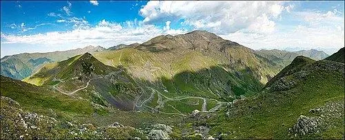 Abano PassPhoto: Chaoseli, CC BY-SA 4.0
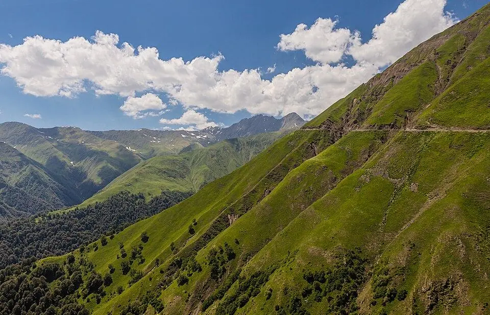
The Abano Pass carries the only road into Tusheti over the main ridge of the Greater Caucasus, at about 2,950 m (published figures run from about 2,826 to 3,000 m, and the Roads Department gives 2,950 m). The dirt road climbs from Pshaveli, near Kvemo Alvani in the Alazani Valley, up the Stori valley and a long series of steep switchbacks above the treeline, then drops into Tusheti to Omalo, about 70 km in all. Gradients reach about 17 percent, there are no guardrails, and the drops into the gorges are long.
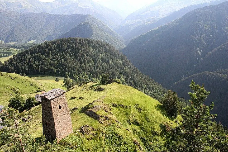
The views are the reward: forested gorges, bare ridges and, on clear days, peaks far into the Caucasus. The road is usually open only from June into October, depending on snow, and landslides or washouts can close it for a day or more. Only high-clearance 4x4s should attempt it, and most travellers ride with experienced local drivers. Allow about 4 to 6 hours from Kvemo Alvani to Omalo with stops. The name means 'bath' in Georgian, and there are warm springs below the pass on the Kakheti side.
History
The road over the pass was built in 1978 and is still unpaved over the mountain section. Before it existed, Tusheti was reached only on foot or on horseback over the mountains, and the region was cut off for most of the year. The Roads Department is now improving it in phases over 2026 and 2027: the first 22.5 km are due to be asphalted, while the rest stays gravel. Until then it remains a rough mountain track, so check current conditions before you travel.
What to see and do
- Switchbacks climbing far above the treeline
- Views over the Stori gorge and into Tusheti
- Wildflowers in early summer
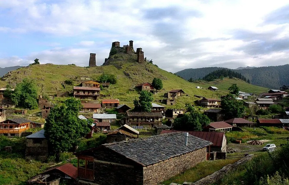
- Gateway to Omalo and the Tusheti villages
How to visit
Getting there
The road starts at Pshaveli, about 35 to 40 minutes from Telavi via Kvemo Alvani. The top of the pass is roughly 3 hours from Kvemo Alvani and about 2 hours above Omalo.
When to go
July–September; usually open June to October. Plan 4–6 hours to cross here.
- Do not drive it yourself unless you are experienced on mountain dirt roads; hire a local 4x4 driver.
- Check the weather and road status the day before; heavy rain and late snow close the road.
- Carry warm layers; it is cold at the top even in August.
- Take motion-sickness tablets if you need them; the road is long and winding.
Weather in Abano Pass
Warmest in July (15° by day), coldest in January (−16° at night), with 1,068 mm of rain a year. Best months: Jul–Aug.
Abano Pass: FAQ
Is the road to Tusheti dangerous?
It is one of the most demanding roads in Georgia: unpaved, narrow, steep and without guardrails, and serious accidents happen. In good weather, with a high-clearance 4x4 and an experienced local driver, many visitors make the trip each summer.
When is the Abano Pass open?
Usually from late May or June until some point in October, depending on snow. Over 2022 to 2026 the snow closure fell between 4 and 27 October. The dates change every year, so check locally before you go.
Tours that include Abano Pass
Read more in our guides
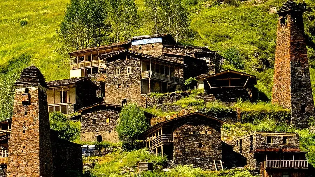 Photo: georgia.travel
Plan a summer trip to Georgia's most remote mountain region: the 4x4 road over the Abano Pass, the tower villages from Omalo to Girevi, hikes and horse rides, food, beds, permits and a short itinerary.
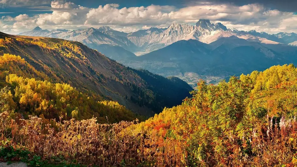 Photo: georgia.travel
Colour starts near the treeline in late September and reaches Tbilisi in November. Here is when each region peaks, the walks to do there and which mountain roads shut first.
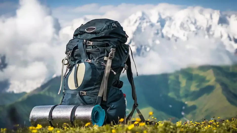 Photo: georgia.travel
Ten multi-day routes across the Caucasus and Georgia's quieter uplands, side by side: how long, how high, how hard, when to go, where you sleep and which ones need a border permit.
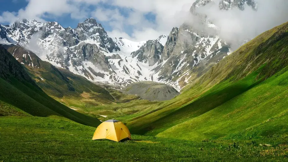 Photo: georgia.travel
The best places to camp in Georgia, region by region, with the rules for national parks and border zones, a month-by-month table of snow-free camps and night lows, and what to bring, rent or buy.
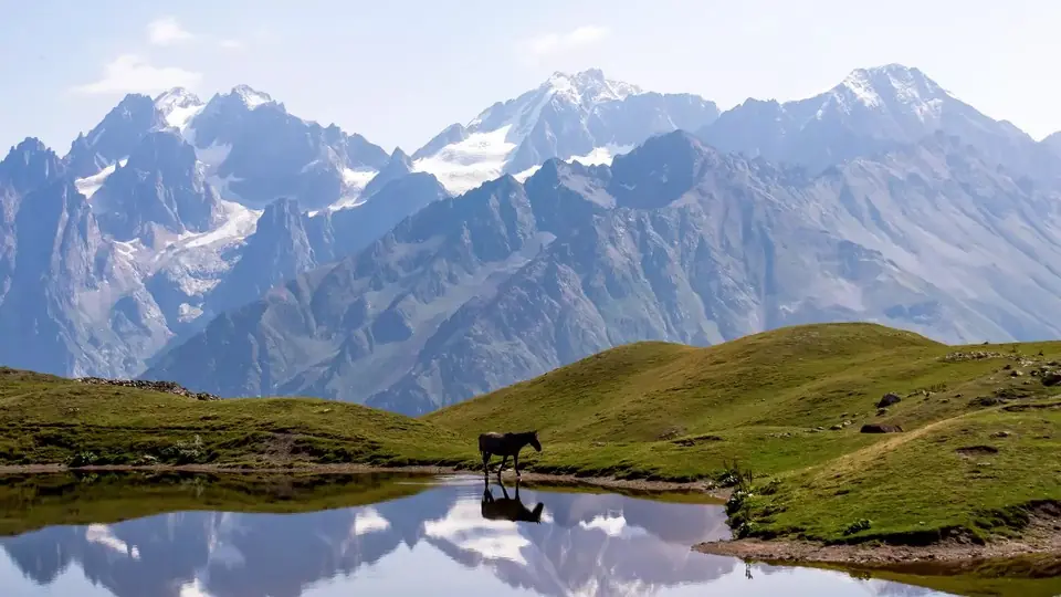 Photo: georgia.travel
Where the Caucasus Mountains run, which peaks are Georgia's highest, what each mountain region is like and when its roads open, and how to choose between Kazbegi, Svaneti and Tusheti.
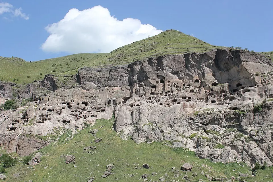 Photo: Arian Zwegers, CC BY 2.0
One two-week route across the whole country, from Tbilisi and the Kakheti vineyards to Kazbegi, Vardzia, Svaneti and the Black Sea, with drive times, swaps for Tusheti, Racha, winter and Armenia, and a 2026 budget.
Hikes in and around Abano Pass
Nearby places
Straight-line distance from Abano Pass.