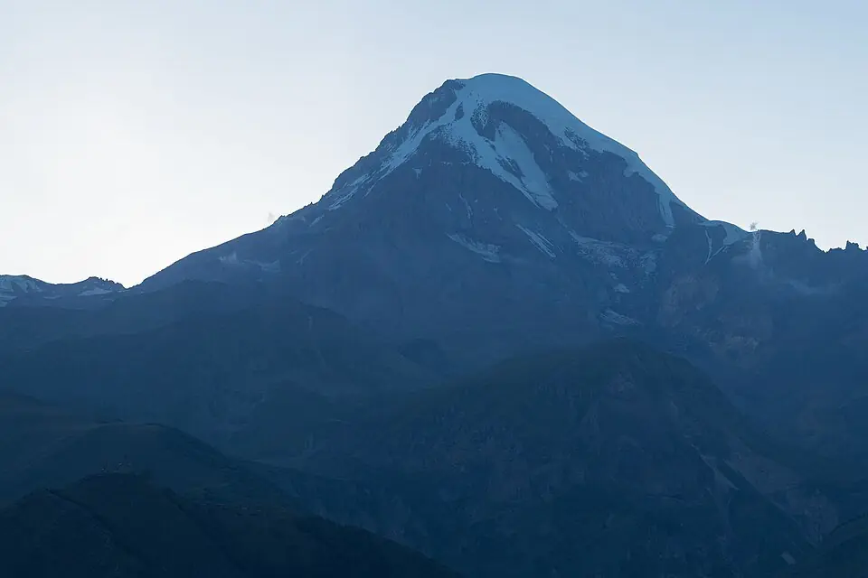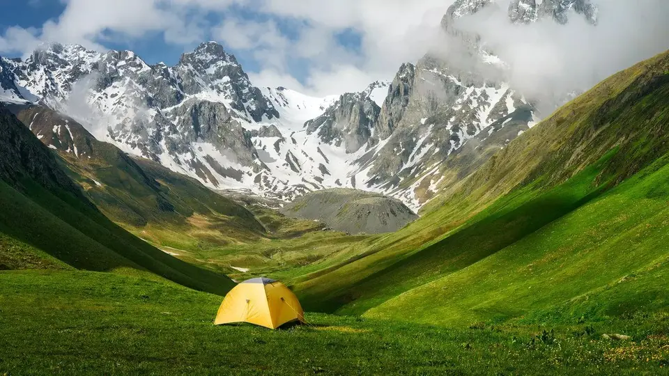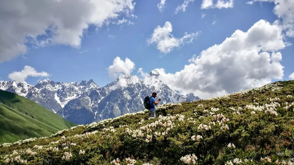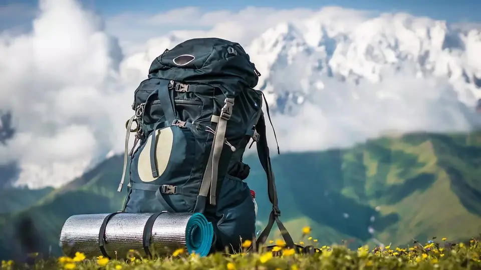
- The best multi-day treks in Georgia are Mestia to Ushguli in Svaneti (4 days, guesthouses), Juta to Roshka over the Chaukhi Pass (2 days, about 3,340 m) and Omalo to Shatili over the Atsunta Pass (5 to 6 days, about 3,430 m, camping).
- Mestia to Ushguli is the easiest of the big treks and the only one most walkers manage comfortably without camping gear; Chaukhi and Atsunta are hard routes for experienced hikers.
- The high-pass season is short: mid-July to early or mid-September for Chaukhi and Atsunta, early July to mid-September for Svaneti, while Borjomi-Kharagauli and the Imereti to Racha ridge also work in late spring and early autumn.
- Only Omalo to Shatili needs a border sign-in (free, at the Girevi post); Black Rock Lake sits right on the frontier with Dagestan, so keep your real passport with you, and the national parks want trekkers logged at their visitor centres.
- Camping treks such as Atsunta, Javakheti and the Imereti to Racha ridge are far easier with pack horses and a cook, which is how we run them as private trips on any date for any group size.
If you have time for only one multi-day trek in Georgia, walk Mestia to Ushguli: four days, about 57 km, a family guesthouse every night and a pass of roughly 2,720 m. If you want something wilder, the Chaukhi Pass links Kazbegi with Khevsureti in two days, and the Atsunta Pass crossing from Tusheti to Khevsureti is the great camping expedition of the eastern Caucasus. Seven more routes, from volcanic lakes in Javakheti to forest shelters in Borjomi, round out the list.
This guide compares all ten on the same terms, using the figures in our own trail files and the five-point difficulty scale we apply to every hike and tour. Below are a comparison table, a section per route, advice on matching a trek to your experience, trailhead transport, permits, kit, the real hazards and an honest look at when a guide and pack horses earn their cost. For a wider introduction to walking in the country, start with our hiking in Georgia guide.
Best treks in Georgia compared: days, distance, altitude and difficulty
The table lists the ten multi-day routes we rate highest, roughly from the best known to the least walked. Distances are totals for the standard line; real figures shift by a few kilometres with your start point and side trips. Difficulty uses our fixed scale: 1 easy, 2 moderate, 3 challenging (5 to 7 hours a day, 700 to 1,100 m of climbing, passes up to about 3,000 m), 4 hard (long days or camping, passes above 3,000 m, fords, remote ground) and 5 expedition, meaning glaciers and ropes. None of these treks is a 5.
| Trek | Days | Distance | High point | Grade | Best season | Nights | Horse support | Border permit |
|---|---|---|---|---|---|---|---|---|
| Mestia to Ushguli (Svaneti) | 4 | About 57 km | About 2,720 m | 3 | Early July to mid-September | Guesthouses | Yes: river ford and bags | No |
| Chaukhi Pass, Juta to Roshka | 2 (or 1 long day) | About 18 km | About 3,340 m | 4 | Mid-July to mid-September | Tent at the Abudelauri Lakes | Yes | No; passport checks on Khevsureti roads |
| Atsunta Pass crossing, Omalo to Shatili | 5 to 6 | About 76 km | About 3,430 m | 4 | Mid-July to early September | Tents, guesthouses at each end | Yes | Yes: free registration at Girevi |
| Dartlo, Kvavlo and Parsma (Tusheti) | 2 | About 22 km | About 2,250 m | 2 | July to mid-September | Guesthouses | Yes | No, below Girevi |
| Black Rock Lake (Lagodekhi) | 3 | About 40 km (sources 38 to 48) | About 2,900 m | 4 | July to mid-September | Ranger shelter or tent | Ask the park | Border area: passport and park sign-in |
| St Andrew Trail (Borjomi-Kharagauli) | 4 | About 54 km | About 2,640 m | 3 | June to mid-October | Park shelters or tent | Yes | No; park registration compulsory |
| Tobavarchkhili, the Silver Lakes (Samegrelo) | 4 | About 35 km | About 2,850 m | 4 | Late July to mid-September | Camping | Yes | No |
| Udziro Lake from Glola (Racha) | 2 | About 22 km | About 2,820 m | 4 | Mid-July to early September | Camping | Yes | No |
| Javakheti volcanic lakes (Abuli to Tabatskuri) | 3 walking days | About 53 km | About 3,090 m | 4 | July to mid-September | Camping | Yes | No known permit; carry your passport |
| Imereti to Racha ridge (Drbo to Oni) | 3 walking days | About 51 km | About 2,360 m | 4 | Late May to early July, September to mid-October | Camping, guesthouse in Oni | Yes | No |
Two patterns stand out. First, only Mestia to Ushguli, the Tusheti village loop and, with planning, the St Andrew Trail can be walked with a daypack and a bed every night. Second, the routes that cross the main Caucasus ridge or the Abul-Samsari range sit at grade 4, because they combine a pass near or above 3,000 m with remote ground and, usually, nights in a tent.
Mestia to Ushguli: the classic Svaneti trek
Upper Svaneti's village-to-village route is the trek most people mean when they talk about hiking in Georgia. Four stages of 10 to 18 km link Mestia with Zhabeshi, Adishi, Iprali and finally Ushguli, with roughly 3,100 m of climbing in total. You cross two grassy ridges with Tetnuldi in front of you, ford the glacier-fed Adishchala on day 3, climb to the Chkhutnieri Pass at about 2,720 m opposite the Adishi icefall, then trace the Enguri upstream to Chazhashi, whose towers stand below Shkhara.
Day 3 decides the trek. It is the longest stage, 7 to 9 hours, and it starts with the river: knee to thigh deep, very cold and rising through the day, so you leave Adishi by 07:30 and most people ride across with a local horseman for a small cash fee. The rest of the route is steady rather than technical. Guesthouses serve dinner and breakfast, cars can carry your main bag to most villages, and Adishi is the only night where a horse or 4x4 is needed to move it. We cover every stage in detail in our Mestia to Ushguli trek guide.
- Days and distance: 4 days, about 57 km, +3,100 m / -2,400 m.
- Grade: 3 of 5, the gentlest of the big passes but still a real mountain walk.
- Season: early July to mid-September; late June only once the pass has melted out, and guesthouses in Adishi and Iprali start closing after about 5 October.
- Permits: none, and no park fee.
- Short on time: take a car from Mestia to Zhabeshi and walk it in 3 days.
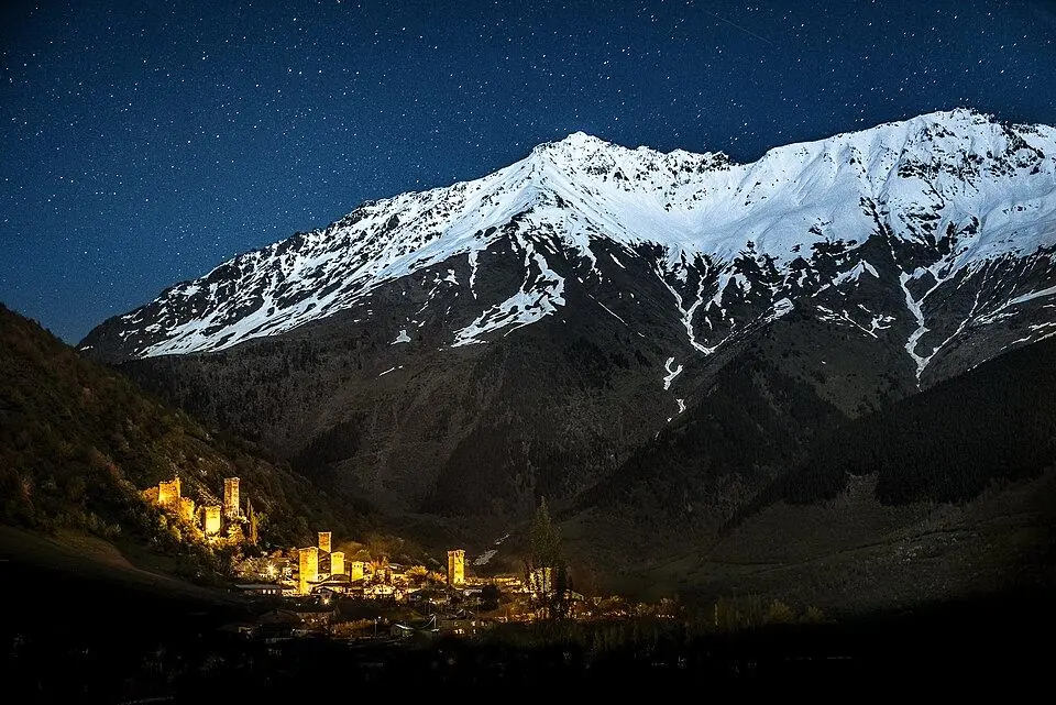
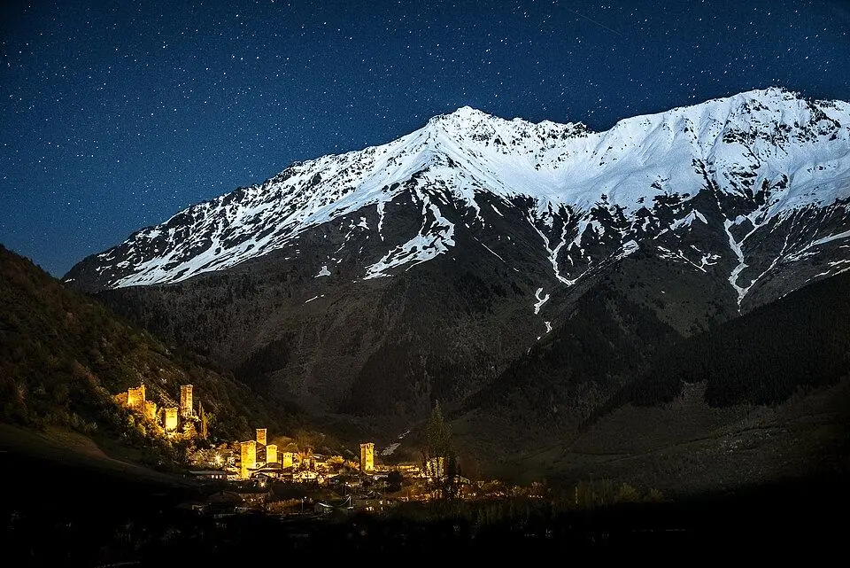
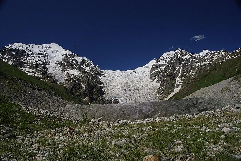
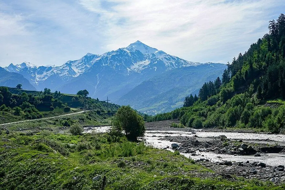
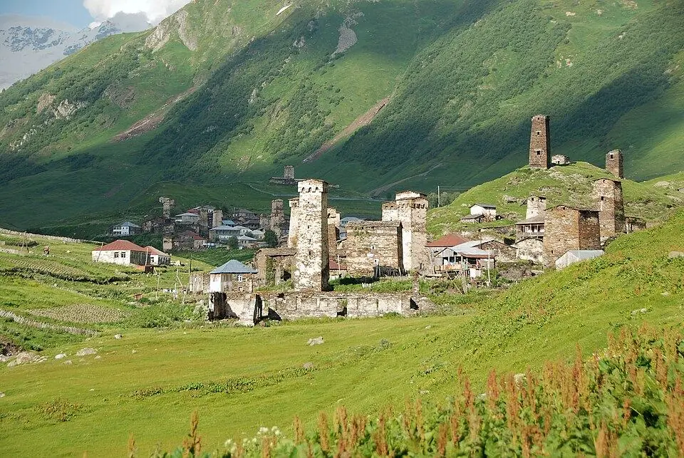
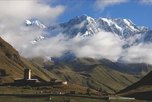
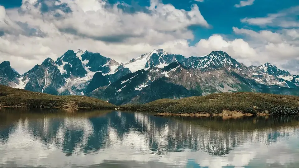
Our eight-day Svaneti Trek starts and ends in Kutaisi, adds a warm-up hike to the Koruldi Lakes before the four trekking days, books the horse crossing and moves your bag every morning. If you prefer day hikes from a comfortable base to walking village to village, the Svaneti Hiking Week covers Koruldi, the Ushba glacier above Mazeri, the Guli Pass at close to 2,950 m and the Shkhara glacier instead.
The Chaukhi Pass trek: from Juta in Kazbegi to Roshka in Khevsureti
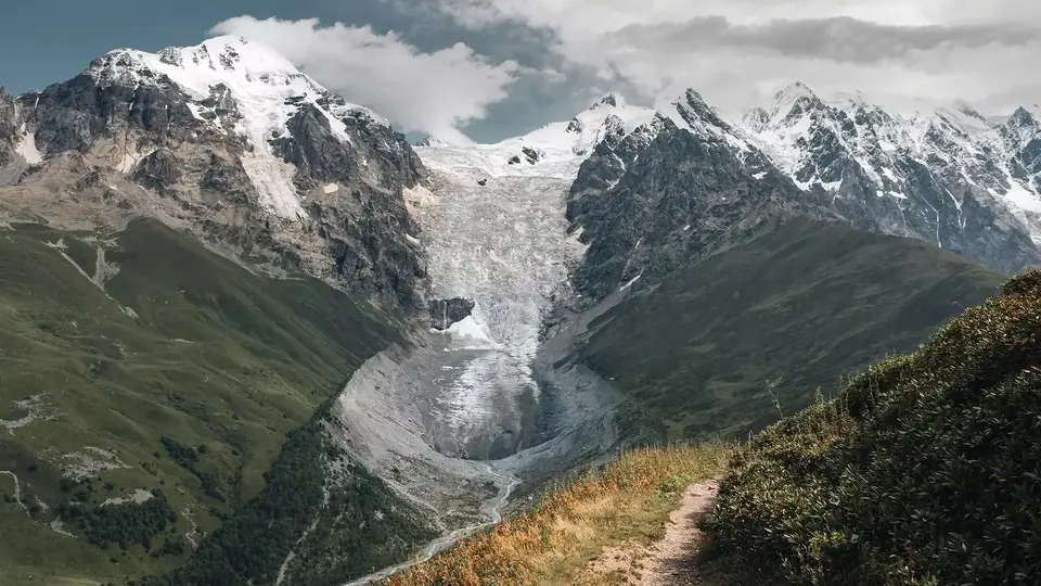
The Chaukhi crossing is short, about 18 km, but it is the steepest pass on this list. From Juta, at about 2,150 m and some 20 km from Stepantsminda, you walk up a broad valley toward the jagged Chaukhi towers, then turn into a long gully of loose rock that leads to the saddle at about 3,340 m. The far side starts on fine sliding scree before it eases into meadow above the Abudelauri Lakes, where most parties pitch tents beside the Green Lake, roughly 2,600 m up. Next morning you visit the White Lake under the Chaukhi wall and drop to Roshka, a stone village in Khevsureti.
Snow often sits on the north side of the pass until July and can return by October, so the safe window is roughly mid-July to mid-September. There is no permit, but there is also no water for 3 to 4 hours between the last stream below the pass and the lakes, no signal on the crossing and no public transport at Roshka. The access road to Juta was damaged in June 2025, so check how far cars can reach before you plan the start.
- Days and distance: 2 days, about 18 km, +1,280 m / -1,360 m; fast walkers do it in one 8 to 10 hour day.
- Grade: 4 of 5 because of the pass height and the loose descent.
- Best warm-up: the Gergeti Glacier viewpoint or the Truso valley a day or two before.
- Logistics: arrange your Roshka pickup before you leave; Tbilisi is roughly three and a half hours away by car.
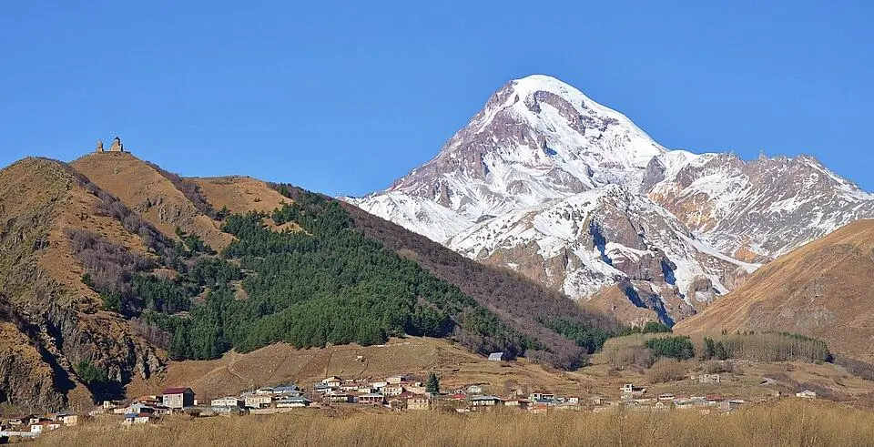
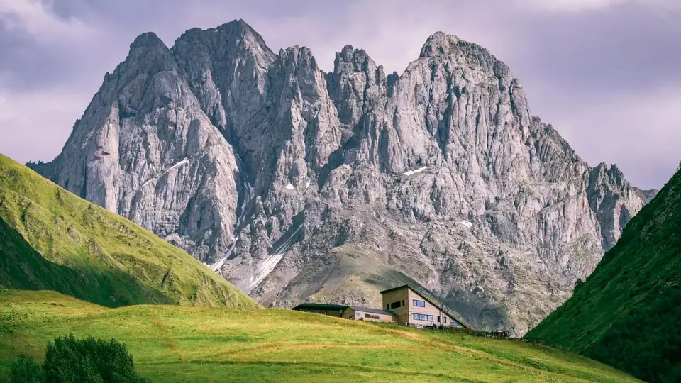
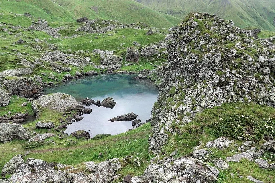
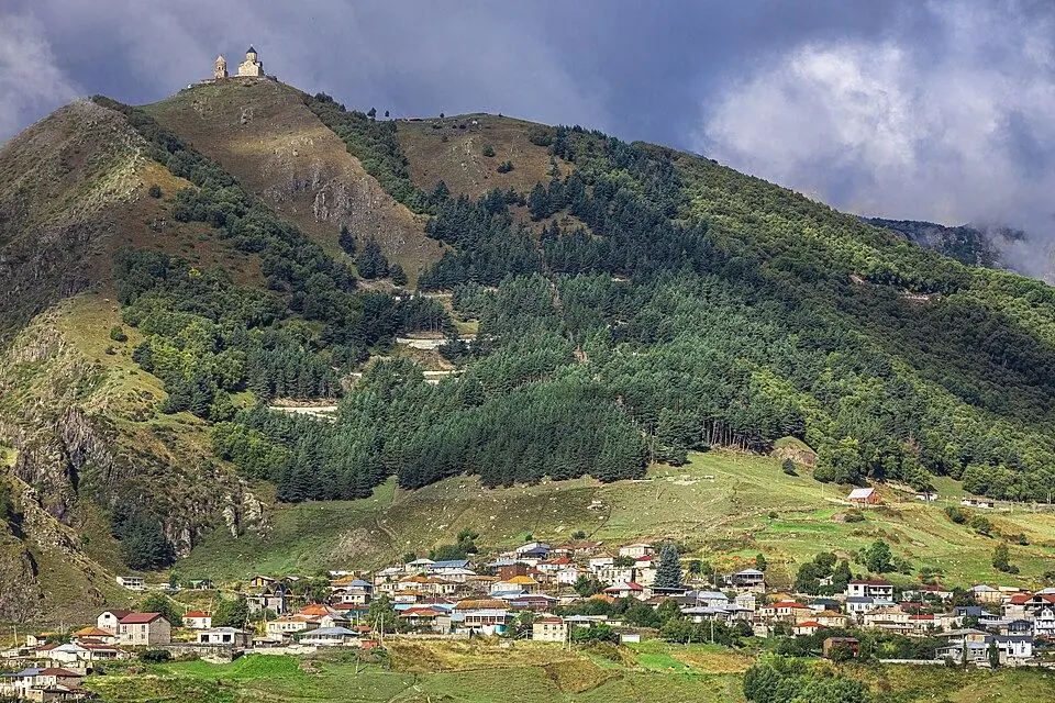
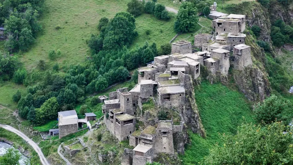
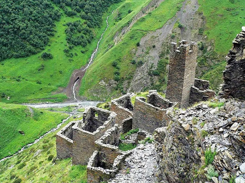
Our Kazbegi and Khevsureti Trek builds the crossing into nine days: acclimatisation walks above Gergeti and along the Truso valley, the pass day with a supported camp at the lakes, then two nights in Shatili with a walk up to the clifftop towers of Mutso. Read our Kazbegi travel guide for the walks and villages around Stepantsminda.
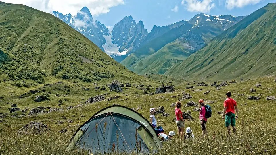
The Atsunta Pass trek: from Omalo in Tusheti to Shatili in Khevsureti
No road joins Tusheti and Khevsureti, which lie side by side on the northern slope of the Caucasus. The old shepherds' link is the Atsunta Pass, a saddle of scree and late snow at about 3,430 m, and crossing it is the most complete wilderness trek in Georgia. The standard line runs about 76 km in five walking days: Omalo to Dartlo first, then upstream beside the Pirikiti Alazani through tower hamlets such as Chesho and Parsma as far as Girevi, into the Kvakhidi side valley, across Atsunta to the Khidotani meadows, and finally along the Andaki, by Ardoti, to Mutso and on to Shatili.
Day 4, over the pass, is 8 to 10 hours on grass, scree and old snow, with two fords of the Kvakhidi stream beforehand and a long, loose descent afterwards. Around the crossing you may find no water source for four or five hours, and between Parsma and Mutso phones are usually useless for two or three days. Tusheti has no hospital, so serious injuries mean a helicopter. Most shepherds and horsemen leave the high valleys by the end of September, which closes the realistic window to about mid-July to early September.
Border registration at Girevi
Because the trek passes near the frontier with Russia, every walker has to register with the border police at their post in Girevi before going further. It is free, usually takes about an hour and needs your original passport. Keep the paper, because the post on the Khevsureti side checks it again. You can walk the route in reverse from Shatili, but you still register, and the climb to the pass is longer and steeper from that side.
- Days and distance: 5 walking days and about 76 km on the standard line; our version spreads it over 6 walking days, about 85 km, with an extra camp near Mutso.
- Grade: 4 of 5; the hardest trek on this list for remoteness.
- Nights: guesthouses in Omalo, Dartlo and Shatili, tents in between.
- Getting in and out: the start needs a 4x4 across the Abano Pass, roughly 2,950 m and normally passable from June until the October snow arrives, and a twice-weekly summer minibus or a hired car from Shatili.
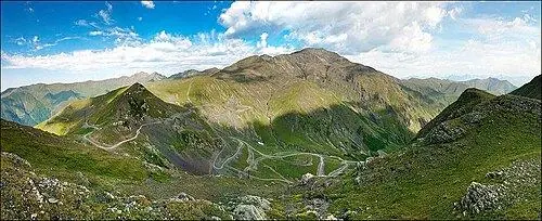
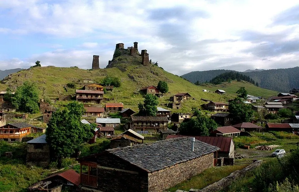
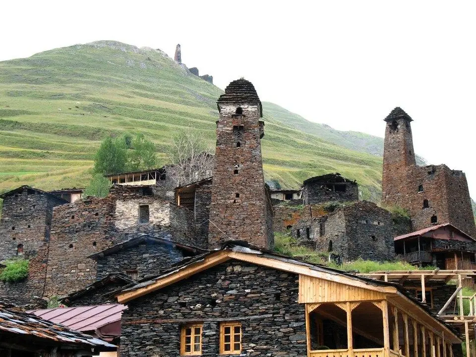
Our eight-day Tusheti to Khevsureti Trek uses pack horses from Omalo to Mutso for tents, food and each hiker's main bag, has a cook in camp on the four tent nights, and handles the Girevi registration for you. A riding horse for the whole route can be added if someone in your party would rather ride than walk.
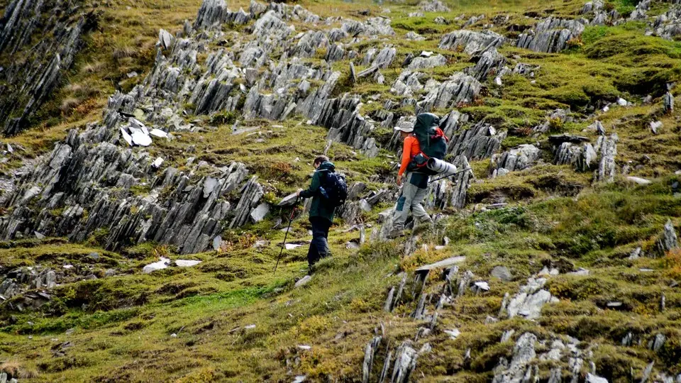
Dartlo, Kvavlo and Parsma: an easier trek in Tusheti
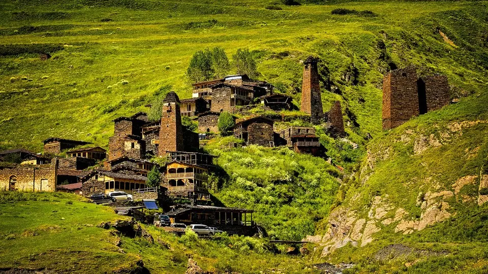
Not everyone who loves Tusheti wants to cross a 3,400 m pass. The two-day loop in the Pirikiti valley gives you the same slate-roofed tower villages with a grade of 2. From Dartlo you climb about 350 m to Kvavlo, a ring of ruins around a restored tower directly above Dartlo's roofs, traverse an open shepherds' slope, drop to Chesho on the riverbank and walk upstream to Parsma for the night. The next day you return down the valley to Dartlo, about 22 km in all with a high point near 2,250 m.
There is no permit below Girevi, though border police patrol the upper valley and you should carry your passport. Parsma has only a few beds, so book ahead, and bring enough lari for the whole stay: Tusheti has no cash machine. The loop also makes a good test before Atsunta, since the first two days of that trek follow the same valley.
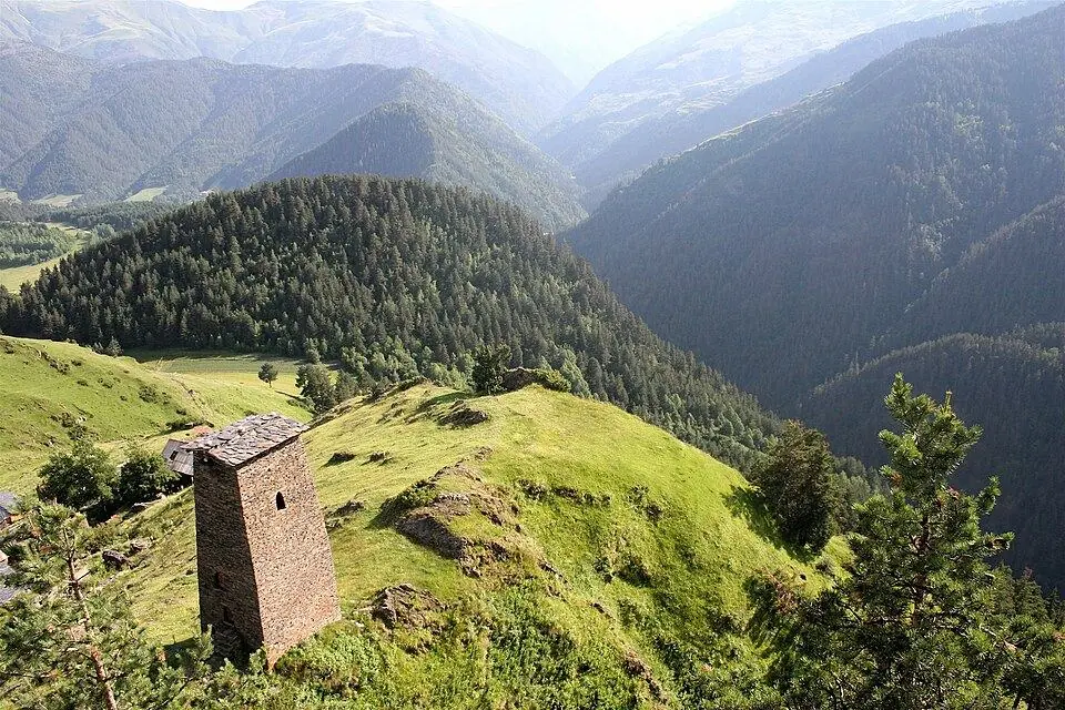
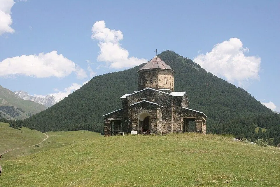
Our Tusheti 4x4 Adventure is the gentle way in: a driver takes you over the Abano Pass, and from three nights in Omalo you walk to the Keselo towers, over to Shenako and Diklo, and up to Dartlo and Kvavlo, with optional horse riding on the side.
Quiet camping treks: Javakheti, the Imereti to Racha ridge, Udziro and Tobavarchkhili
These four routes see a handful of foreign hikers a season. None has guesthouses along the way, which is exactly why they feel so empty, and all of them are much easier to enjoy when horses carry the tents, food and water.
Javakheti volcanic lakes
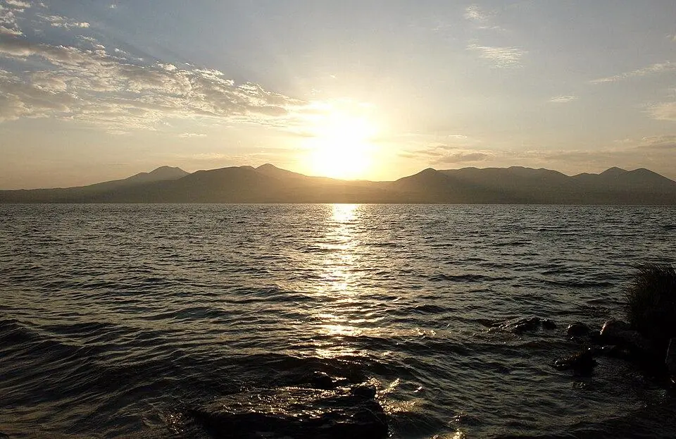
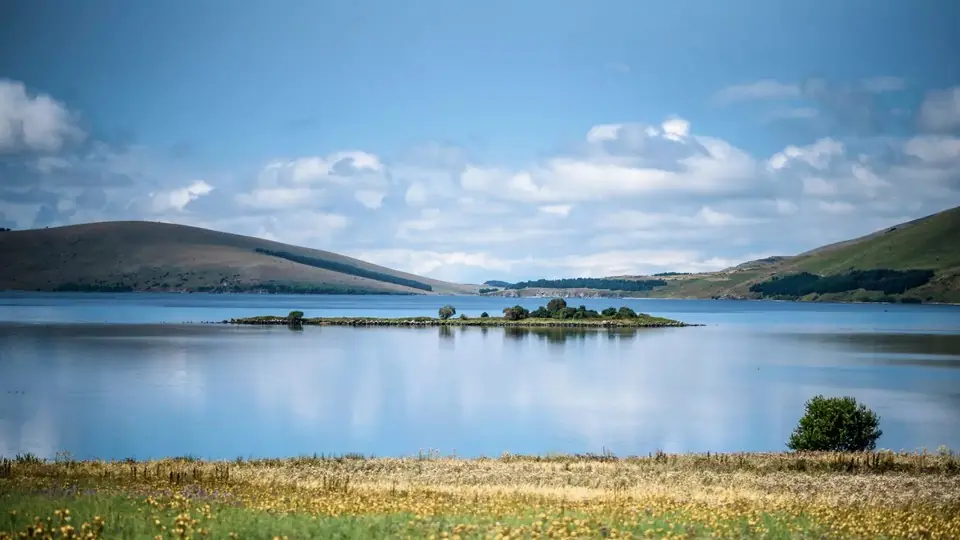
The Javakheti uplands in the south lie mostly near 2,000 m and look nothing like the Caucasus: open grass, lava fields, shallow lakes and the dead volcanoes of the Abul-Samsari range, whose highest cone, Didi Abuli, reaches roughly 3,300 m. Our line starts near Lake Paravani, climbs past the huge basalt walls of Abuli fortress to the Levani lakes, crosses the Samsari ridge at about 3,090 m into an old caldera and finishes at Lake Tabatskuri, roughly 53 km over three walking days. Snow can linger on the pass into July, streams dry up in late summer, and there is no shade, so the horses carry water as well as the camp. The villages are mostly Armenian and the summer shepherds often Azerbaijani-speaking, which makes this one of the most culturally varied walks in the country.
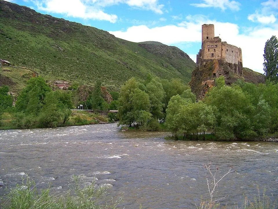
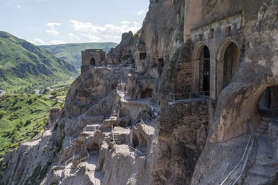
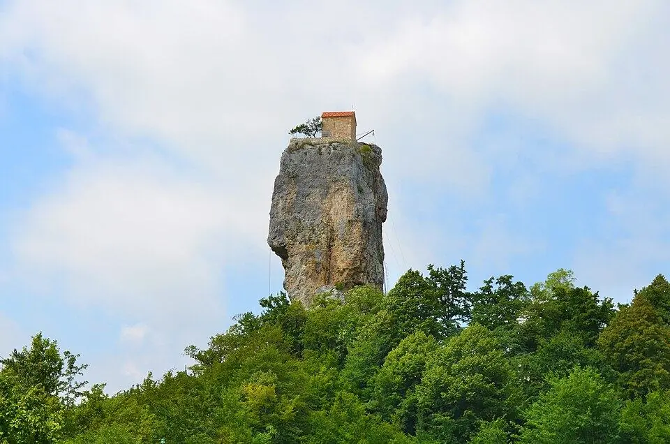
Imereti to Racha over the King Tamar Cliffs
A long grassy range separates upper Imereti from Racha, and an unmarked route of shepherd paths and open ridge crosses it from the village of Drbo in the Sachkhere district to the town of Oni. The Transcaucasian Trail volunteers published a version of this crossing in 2022; our three-day line covers about 51 km and tops out at roughly 2,360 m below the King Tamar Cliffs above Shkmeri, with views north to the main Caucasus. Day 1 climbs about 1,300 m and day 3 descends about 1,500 m to Oni. Because it stays lower, this is our shoulder-season trek, best from the end of May into early July and again through September and the first half of October, when the big passes are under snow.
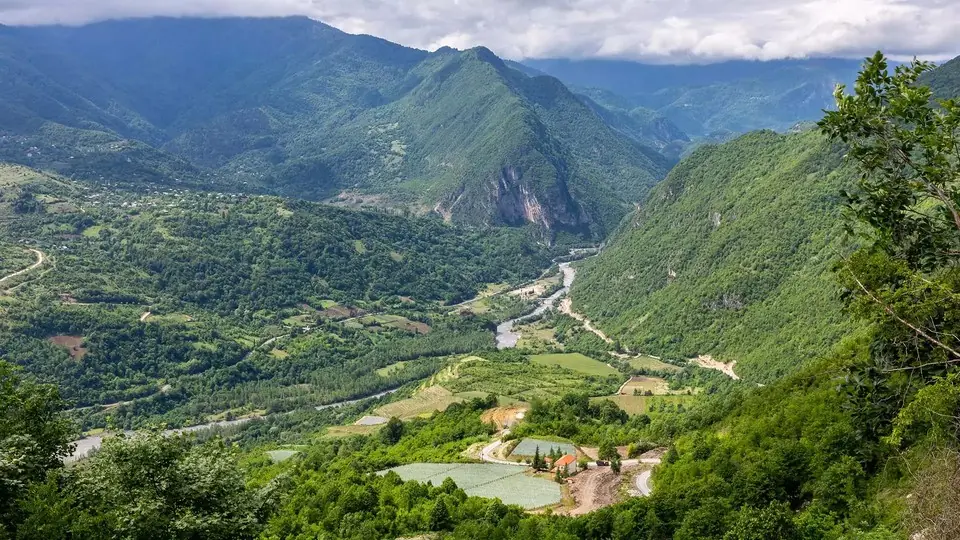
Udziro Lake and Tobavarchkhili
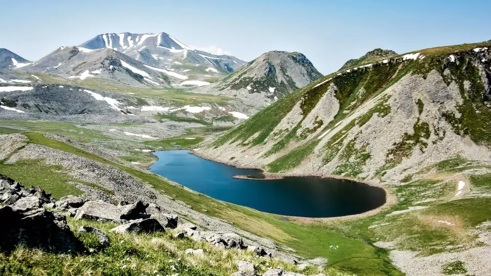
In Racha, the route from Glola up to Udziro Lake, a tarn close to 2,800 m, is a hard out-and-back of about 22 km with one night in a tent and roughly 1,650 m of ascent. Do not wander north beyond the lake basin: the upper Rioni leads to the Mamisoni Pass and the Russian frontier. In Samegrelo, the Tobavarchkhili or Silver Lakes trek starts at the Natipuru meadow, reached by several hours of 4x4 track above Mukhuri, and loops over passes near 2,850 m to a cluster of high lakes in about four days. The Egrisi passes often hold snow into the second half of July and bad weather comes early in autumn, so August and early September are the safe weeks. Neither route has rangers or registration, so leave your plan with your host.
National park treks with shelters in Lagodekhi and Borjomi
Georgia's protected areas add two marked multi-day routes with ranger shelters, compulsory sign-in at a visitor centre and, in Borjomi's case, a much longer season than the high Caucasus.
Black Rock Lake in Lagodekhi climbs from about 550 m at the visitor centre through beech forest to alpine meadows and a lake at roughly 2,800 m on the state border with Dagestan. It takes three days and around 40 km, though published lengths run from 38 to 48 km, with about 2,850 m of climbing. Day 1 is a long, largely dry forest ascent, so start with 3 litres of water. Rangers will only let you start after you sign in at the visitor centre with a copy of your passport, and the ridge is patrolled by border guards, so carry the original too and never step over the watershed.
The St Andrew Trail crosses Borjomi-Kharagauli National Park in four days and about 54 km, from the Atskuri ranger station in the Borjomi gorge over Sametskhvario peak (about 2,640 m) to Marelisi on the Kharagauli side. You register and book shelter beds at the park visitor centre in Borjomi, and wild camping outside shelters and marked sites is not allowed. With a season from June to mid-October and superb colour in late September, it is the best multi-day choice when the high passes are snowbound.
Which trek in Georgia is right for you?
Match the route to your experience, your appetite for camping and the dates you have, not just to the photos.
| If you are... | Choose | Why |
|---|---|---|
| A first-time multi-day hiker | Mestia to Ushguli, or Dartlo to Parsma | Beds every night, villages every few hours, no permit |
| Fit and wanting one big pass in a short trip | Juta to Roshka over the Chaukhi Pass | Two days, about 3,340 m, three hours from Tbilisi |
| An experienced trekker after real wilderness | Omalo to Shatili over the Atsunta Pass | Five or six days, two remote valleys, almost no signal |
| A family or mixed-ability group | Svaneti Hiking Week or the Tusheti 4x4 Adventure | Day hikes from fixed bases, with easier options on hard days |
| Travelling in May, June or October | Imereti to Racha ridge or the St Andrew Trail | Lower altitudes that are clear when the passes are not |
| Someone who has done the famous routes | Javakheti volcanic lakes or Tobavarchkhili | Different landscapes and hardly any other walkers |
| Keen to finish with wine | Imereti to Racha, or Black Rock Lake with Kakheti | Khvanchkara in Racha, qvevri wine in Kakheti |
Try a test day at home before booking. Cover around 15 km and 800 m of ascent; if your legs would happily repeat it tomorrow, a grade 3 route with a daypack should suit you. For grade 4 you want several such days back to back, some practice on scree and confidence in cold, wet weather. Children are welcome on our treks at any age; for younger walkers we usually suggest the Tusheti village paths or a Svaneti base with day hikes, and we plan the pace around your family.
Planning logistics: seasons, trailheads, permits and money
When the treks are open
Snow normally leaves the main-ridge passes in early July and may return before September ends. The calmest weeks tend to fall between late August and mid-September, when rivers run lower than in July and the August crowds have thinned. For the whole year, our best time to visit page has the details.
| Month | What is realistic |
|---|---|
| May | Imereti to Racha ridge from late May; lower Borjomi trails; high passes snowbound |
| June | St Andrew Trail, Imereti to Racha; Tusheti road usually opens; Svaneti only once the pass melts |
| July | Mestia to Ushguli, Tusheti loop, Black Rock Lake; Chaukhi and Atsunta from mid-month |
| August | Every route on this list; book guesthouses and transport early |
| September | Most routes until mid-month; Atsunta until about early September |
| October | St Andrew Trail and Imereti to Racha until mid-month; Tusheti road may close |
Reaching the trailheads
Mestia is reached via Zugdidi by train and minibus, by a long direct minibus from Tbilisi, by car from Kutaisi or, weather permitting, by small plane. Stepantsminda is about three hours from Tbilisi on the Military Road. Tusheti needs a 4x4 over the unpaved Abano Pass road from Kvemo Alvani, usually open from June into October. The hard part is often the far end: Roshka, Glola, the Natipuru meadow and the Khevsureti valleys have no regular transport, so a driver booked in advance is usually the only reliable option. Our getting around Georgia guide covers the main road and rail links.
Permits and registration
- Border police registration: required for Omalo to Shatili at Girevi, free, with your original passport.
- Border areas without registration: Black Rock Lake, the upper Pirikiti and Rioni valleys and the Khevsureti roads; carry your passport and expect checks.
- National park sign-in: compulsory for Black Rock Lake and the St Andrew Trail, where you also book shelter beds.
- No permit: Mestia to Ushguli, Chaukhi, Dartlo to Parsma, Udziro, Tobavarchkhili, Javakheti and the Imereti to Racha ridge.
- Occupied territories: none of these ten treks approaches the lines of Abkhazia or the Tskhinvali region (South Ossetia), both under occupation.
Cash, signal and food
Carry lari for the whole trek. Mestia and Stepantsminda have cash machines; Tusheti, Khevsureti, upper Racha and the Javakheti plateau effectively do not, and mountain guesthouses rarely take cards. Phone signal is decent in the main villages, with Magti usually reaching furthest, but it vanishes on passes and in side valleys. Guesthouse treks run on half board with a packed lunch on request; on camping routes you need to carry, or have horses carry, every meal.
Trekking gear and safety in Georgia
Gear checklist
- Broken-in boots with a grippy sole for scree and wet grass, plus sandals for fords
- Trekking poles: descents of 1,000 to 1,500 m are common
- Waterproof jacket and trousers, a warm fleece or down layer, hat and gloves in every month
- Sun protection: a brimmed hat, dark glasses and high-factor cream
- Bottles or a bladder holding 2 to 3 litres, plus a filter or purifying tablets because cattle and sheep graze nearly every valley
- Head torch, power bank and offline maps with your route loaded
- First-aid basics, blister care and personal medicine
- Passport, cash and insurance details
- Camping routes: a bag rated to around minus 5 °C and a mat; buy gas canisters in Tbilisi or Mestia, as they cannot fly
The real risks
Storms build over the ridges on many summer afternoons, so start at first light and be off passes by early afternoon. Meltwater rivers run lowest early in the day; when a ford looks fast or reaches past your knees, wait for a horseman or go back. The big Caucasian sheepdogs that guard flocks are the hazard you will meet most often: freeze, hold a trekking pole out low as a barrier and let the shepherd call it back. Even in August, fresh snow can dust the ground above 3,000 m.
The number 112 reaches police, ambulance and rescue, yet a casualty high on a remote pass may wait many hours for a helicopter. Health insurance has been an entry condition for foreign travellers since 1 January 2026; check that your policy names mountain rescue and evacuation and covers trekking to 3,500 m. Our article on whether Georgia is safe covers travel safety more widely.
Guided or self-guided: should you trek with a guide in Georgia?
Plenty of hikers walk Mestia to Ushguli and the Tusheti village paths on their own every summer, booking guesthouses by phone and following an offline map. That is a perfectly sound plan in July and August if you have mountain experience. Independent walking gets harder as soon as a route involves camping, a border registration, a 4x4 at both ends or a pass in doubtful weather.
| Trek | Self-guided | With a guide |
|---|---|---|
| Mestia to Ushguli | Common and reasonable in July and August | Worth it in June or late September, or for a first multi-day trek |
| Dartlo to Parsma | Easy to arrange through guesthouses | Adds stories, horses and transport |
| Juta to Roshka (Chaukhi) | Only for experienced pairs with a booked pickup | Recommended: loose descent and no signal |
| Omalo to Shatili (Atsunta) | Possible for self-sufficient campers | Strongly advised: remote, border registration, fords |
| Javakheti, Imereti to Racha, Udziro, Tobavarchkhili | Hard: unmarked, no services, water issues | Strongly advised, ideally with horses |
| Black Rock Lake, St Andrew Trail | Possible with park registration | Helpful for shelters and conditions |
How we run private treks
Every trek we run is private, on the dates you choose and for any group size, from a solo hiker to a large party with extra guides and horses. You walk with a mountain guide in your language, and our drivers cover all road travel, Tusheti, Juta and Khevsureti 4x4 tracks included. On guesthouse treks your bag moves ahead each morning; on camping treks pack horses carry the tents, food, water and your main bag, and a cook runs the camp kitchen. We provide tents, horses and trekking gear, either included or as an extra; see each tour page for what is included. The guide carries first aid and a satellite communicator and arranges border registration and park sign-in before you arrive.
Multi-day treks in Georgia FAQ
What is the best multi-day trek in Georgia?
Mestia to Ushguli in Svaneti is the best all-round choice: four days, about 57 km, guesthouses every night and a pass of about 2,720 m. For a harder, wilder route, Omalo to Shatili over the Atsunta Pass is the finest camping trek in the country.
What is the hardest trek in Georgia?
Of the classic routes, Omalo to Shatili is the hardest because it combines a pass of about 3,430 m, river fords and several days without signal or services. The Chaukhi Pass is shorter but steeper, with a loose scree descent. Mount Kazbek is harder still, but it is a glacier climb rather than a trek.
When is the best time to trek in Georgia?
For the high Caucasus, July to mid-September, with late August and early September often the most settled. Atsunta is best from mid-July to early September. In late spring and early autumn, choose the St Andrew Trail in Borjomi-Kharagauli or the Imereti to Racha ridge.
Do I need a permit to trek in Georgia?
Most treks need none. For Omalo to Shatili you sign in, free of charge, at the Girevi border post, and national parks such as Lagodekhi and Borjomi-Kharagauli ask you to sign in at the visitor centre. Always carry your original passport in the mountains.
Can I trek in Georgia without a guide?
Yes, on busy routes such as the Svaneti trek and the Dartlo loop in July and August. For Atsunta, Chaukhi, Javakheti and other unmarked or remote routes, a guide is strongly advised, especially outside the peak weeks.
Do I need a tent to trek in Georgia?
Not for Mestia to Ushguli or the Dartlo to Parsma loop, where you sleep in guesthouses. Atsunta, Chaukhi, Javakheti, Udziro and the Imereti to Racha ridge involve camping. On our private treks we provide tents and pack horses, included or as an extra depending on the tour.
How fit should you be to trek in Georgia?
For Mestia to Ushguli you should manage 5 to 9 hours a day with climbs of up to about 900 m. Grade 4 routes like Chaukhi and Atsunta need experience of steep scree, long days and cold nights at 2,500 m, ideally after a day or two of acclimatisation.
Can you hire horses for trekking in Georgia?
Yes. Horses are a normal part of mountain life in Svaneti, Tusheti and Khevsureti, and horsemen carry walkers across the Adishchala river on the Mestia to Ushguli trek. We arrange pack horses and riding horses for our private treks.