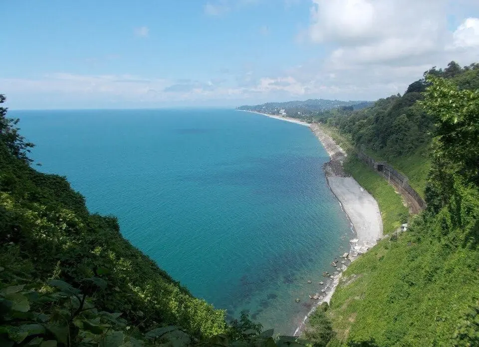
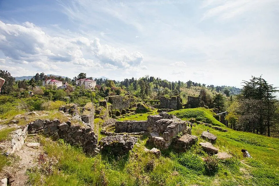
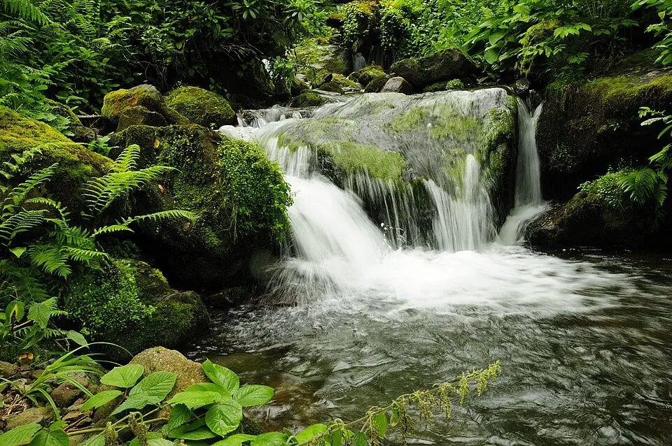
 Mtirala National ParkPhoto: Philipp Weigell, CC BY 3.0
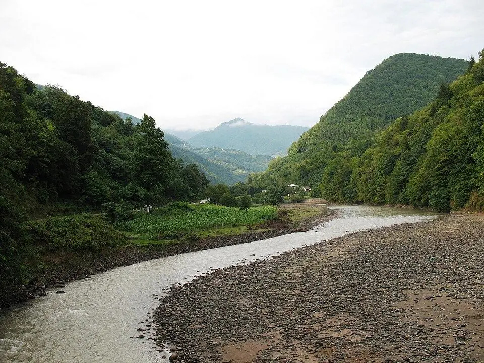
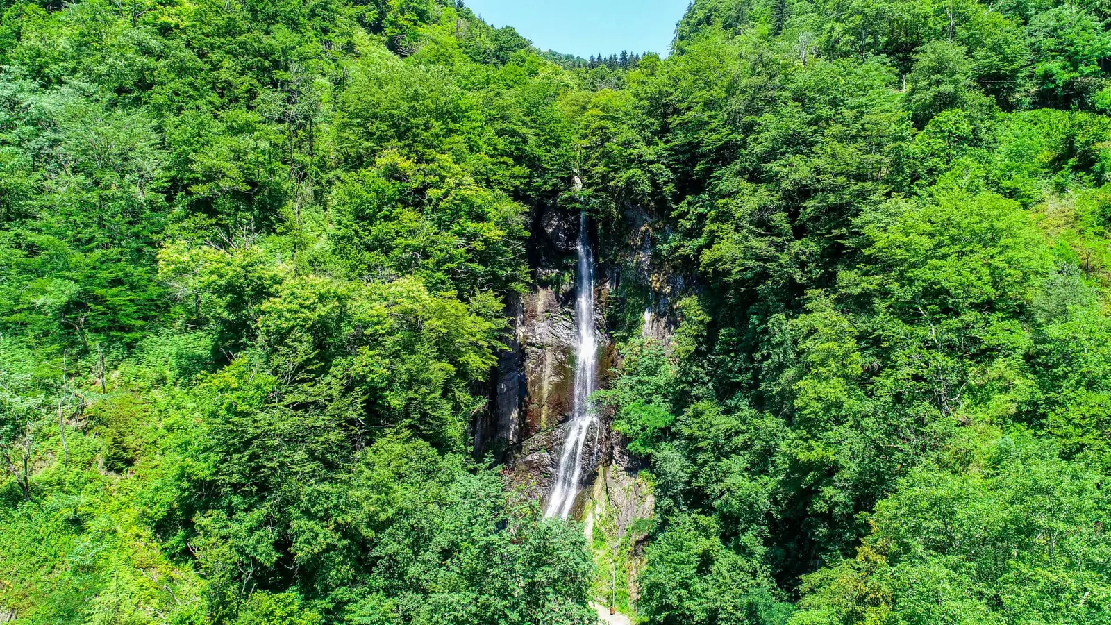
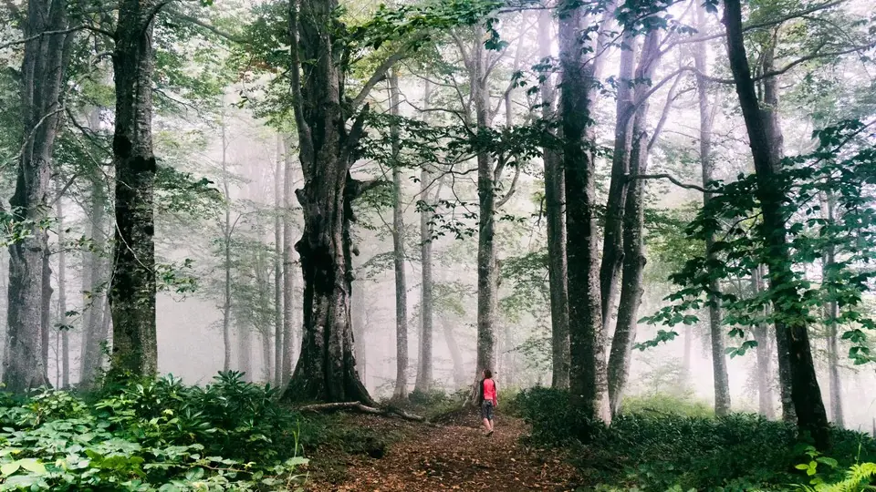
Mtirala National Park protects about 15,700 hectares of Colchic rainforest in the hills behind Chakvi, ~28 km from Batumi. The name comes from the Georgian word for weeping: Mount Mtirala (~1,335 m) and its slopes catch more than 4,000 mm of rain a year, which makes this one of the wettest places in the country. The result is a dense green forest of beech and chestnut with an understorey of rhododendron, and streams and waterfalls in every valley. Since 2021 the park has been part of the Colchic Rainforests and Wetlands World Heritage Site.
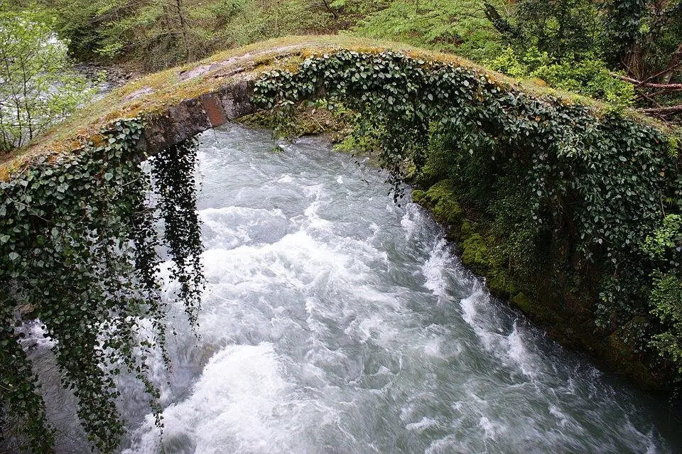
Most visitors start at the visitor centre in Chakvistavi village. The easy Tsablnari loop, about 7 km, crosses the Chakvistskali gorge, passes a zip line and leads to a waterfall and a small lake where people swim in summer. The two-day Tsivtskaro loop, about 16 km, climbs to around 1,250 m and has a tourist shelter on the way; a ranger or guide is recommended. The visitor centre and guesthouses in Chakvistavi offer simple rooms.
What to see and do
- Tsablnari loop to a waterfall and swimming lake
- Zip line over the forest
- Two-day Tsivtskaro loop with an overnight shelter
- Colchic forest with beech, chestnut and rhododendron
- Wildlife including brown bear and roe deer, though rarely seen
How to visit
Getting there
From Batumi drive ~14 km north to Chakvi, then ~15 km up a narrow paved road to the visitor centre in Chakvistavi, roughly 1 hour in total. Public transport to Chakvistavi is infrequent, so most people take a taxi from Chakvi or Batumi.
When to go
May–October. Plan half a day to 2 days here.
- Bring waterproofs and shoes with good grip; it rains often here.
- Check in at the visitor centre and ask about trail conditions.
- Carry insect repellent in summer.
- Book a ranger or guide for the two-day Tsivtskaro loop.
Weather at Mtirala National Park
Based on the climate of Chakvi, 13 km away. Warmest in August (28° by day), coldest in January (4° at night), with 2,528 mm of rain a year. Best months: Jul–Sep.
Mtirala National Park: FAQ
Why is it called Mtirala?
Mtirala means 'weeping' or 'crying' in Georgian, a reference to the rain. The park receives more than 4,000 mm of rain a year, among the highest totals in Georgia.
Can you visit Mtirala National Park as a day trip from Batumi?
Yes. The visitor centre is about an hour from Batumi by car, and the 7 km Tsablnari loop with its waterfall and lake fits easily into half a day.
Read more in our guides
 Photo: georgia.travel
Seafront walks, the old town, the best pebble beaches and day trips from Roman Gonio to the mountain villages of Upper Adjara, plus the rain, the trains and where to sleep.
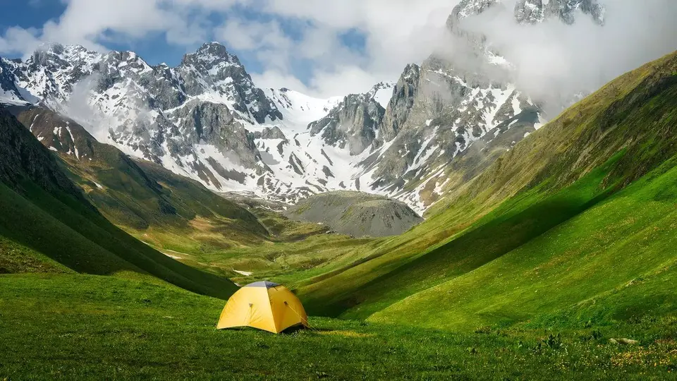 Photo: georgia.travel
The best places to camp in Georgia, region by region, with the rules for national parks and border zones, a month-by-month table of snow-free camps and night lows, and what to bring, rent or buy.
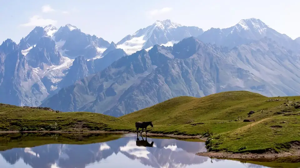 Photo: georgia.travel
Where the Caucasus Mountains run, which peaks are Georgia's highest, what each mountain region is like and when its roads open, and how to choose between Kazbegi, Svaneti and Tusheti.
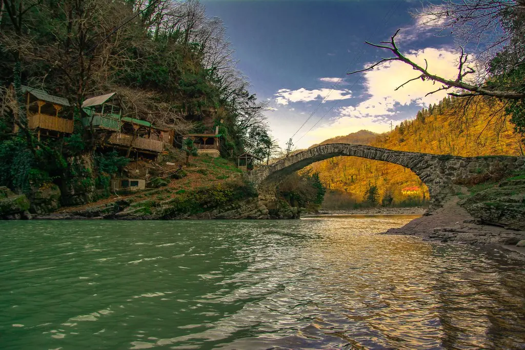 Photo: visitajara.com
Fourteen trips out of Batumi, sorted by drive time: Roman Gonio and the clear sea at Sarpi, rainforest at Mtirala, wine in Keda, black sand in Guria and the canyons of Martvili, with transport, 2026 tickets and winter limits.
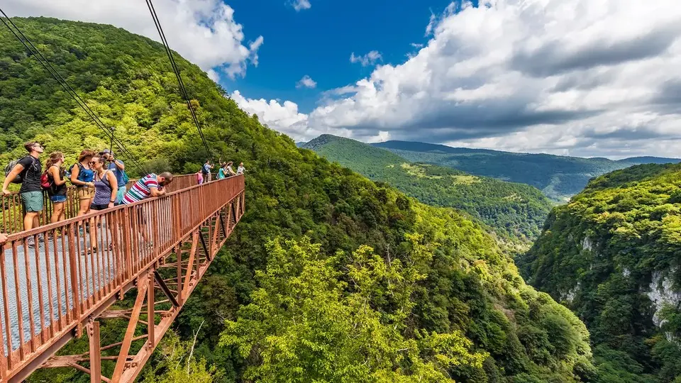 Photo: georgia.travel
What Prometheus Cave, Martvili Canyon, the National Museum, Vardzia, the Tbilisi cable cars and dozens of other sights cost to enter in 2026, with hours, combo tickets and free alternatives.
 Photo: georgia.travel
Official visitor numbers for Georgia (the country): 2019 and 2023-2025 trends, the latest 2026 quarters, top source countries, airports, spending, parks and satisfaction, each with its source.
Nearby places
Straight-line distance from Mtirala National Park.