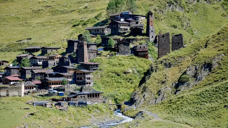
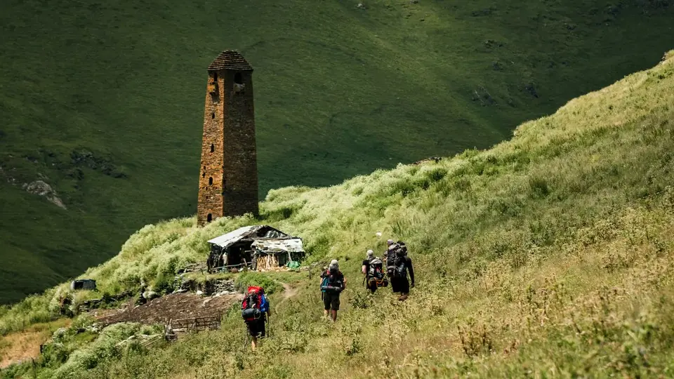
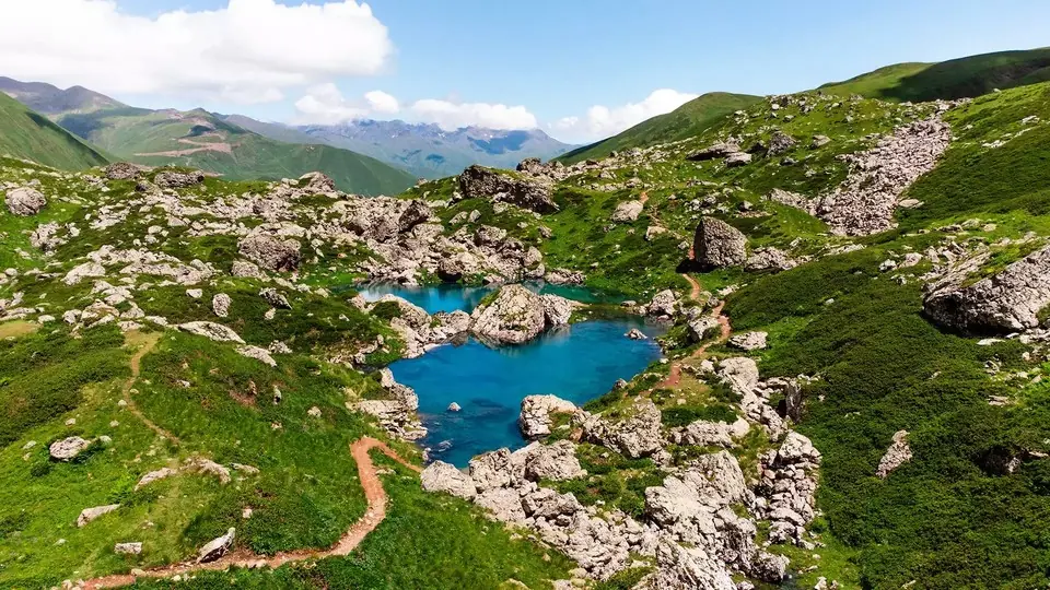
Oreti Lake Day Hike from Omalo
A long, rewarding day out from Omalo to Oreti, a small alpine lake at about 2,650 m on the ridge south of the village, with views across Tusheti to the snow peaks of Tebulo and Diklosmta. About 24 km and 1,350 m of ascent, 9 to 10 hours on foot.
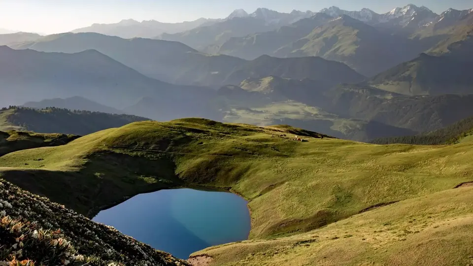 Oreti Lake, TushetiPhoto: georgia.travel
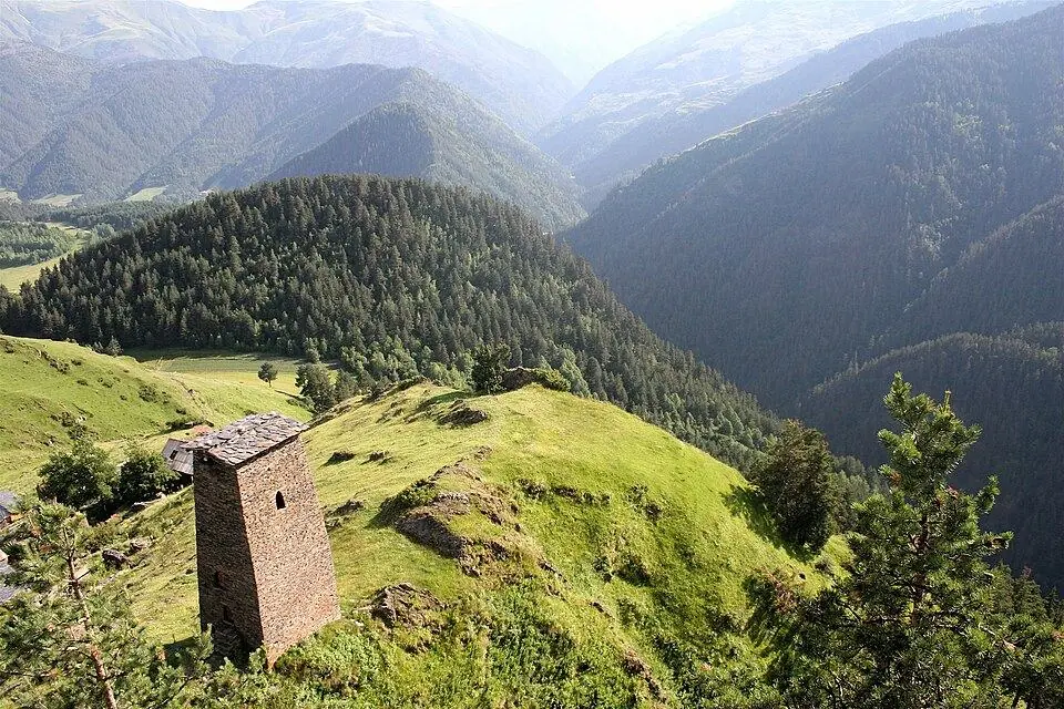
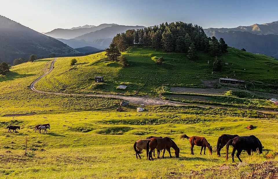
Oreti is a shallow lake in a grassy bowl high on the ridge on the south side of Tusheti, the side facing the main Caucasus watershed with Kakheti. Getting there means dropping from Omalo into the valley, then climbing through dense pine forest to open pasture where the shepherds summer their flocks. From the lake and the slopes above it you look north over the whole of Tusheti to Tebulo (4,493 m) and Diklosmta (4,285 m).
It is graded 4 on our scale because of its length and total climb, not because of technical ground. The paths are clear but rarely signed, and the steep forest section takes it out of you. Many people make it shorter by driving the first part to Kumelaurta, or do it on horseback: horses from Omalo reach the lake in about 5 hours and come back in about 3.
If you want time at the lake, take a tent and spend a night there. Sunset and sunrise light on the northern peaks is the best part of the trip.
Highlights
- Alpine lake at about 2,650 m above the forests of Tusheti
- Rhododendrons in flower in June
- Wide views to Tebulo and Diklosmta
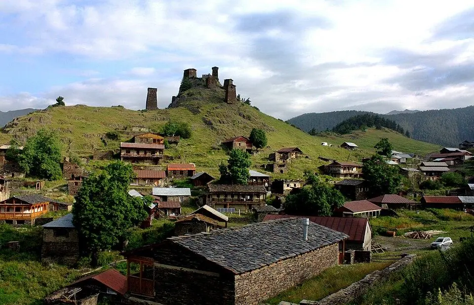
- Shepherds' summer pastures and small Tusheti villages on the way
- Can be done on horseback
Trail facts
Last checked Oct 2026 by the Maspindzeli team. Mountain conditions change: ask us before you go.
Is this right for you?
Three quick questions for a friendly second opinion. Nothing is sent anywhere.
Stage by stage
| Day | From → to | Distance | Up | Down | Hours | Highest |
|---|---|---|---|---|---|---|
| 1 | Kvemo Omalo → Bridge below Omalo | ~2.5 km | +0 m | ~−250 m | 0.75 h | ~1,880 m |
| 1 | Bridge below Omalo → Forest edge above Tsokalta | ~3 km | ~+220 m | −0 m | 1-1.25 h | ~1,850 m |
| 1 | Forest edge → Ridge above the forest | ~2 km | ~+420 m | −0 m | 1.5-2 h | ~2,270 m |
| 1 | Ridge above the forest → Oreti lake | ~4.5 km | ~+420 m | ~−30 m | 1.5-2 h | ~2,660 m |
| 1 | Oreti lake → Kvemo Omalo | ~12 km | ~+290 m | ~−1,070 m | 3.5-4 h | ~2,660 m |
01Omalo down to the Alazani bridgeKvemo Omalo → Bridge below Omalo · ~2.5 km · 0.75 h
Leave Kvemo Omalo heading south over the meadows, cross the main road and follow the forest edge down to the bridge over the river. This is the lowest point of the day, at about 1,630 m.
01Kumelaurta road to the forestBridge below Omalo → Forest edge above Tsokalta · ~3 km · 1-1.25 h
Turn left on the dirt road toward Kumelaurta. Near Tsokalta leave the road and climb across pasture toward the pine forest on the slope ahead. A car can bring you this far and save the whole of the first two stages.
01Steep forest climb to the ridgeForest edge → Ridge above the forest · ~2 km · 1.5-2 h
The hardest section: a direct climb of about 400 m through pine forest, steep and shaded, with few views. Take it at a steady pace and drink before you start.
01Along the ridge to OretiRidge above the forest → Oreti lake · ~4.5 km · 1.5-2 h
The path eases off and runs through meadows and patches of forest, past a shepherds' hut, toward the main ridge. Where the slope steepens, bear left into the rhododendron slopes, cross a small stream and climb the last short rise to the lake. An information board is visible from a distance.
01Return to OmaloOreti lake → Kvemo Omalo · ~12 km · 3.5-4 h
Retrace your route. The forest descent is hard on the knees, and the final 250 m climb from the bridge back up to Omalo comes when you are tired, so consider arranging a car from Kumelaurta.
Practical information
Getting there
The hike begins in Omalo, and getting there is half the adventure. A Tbilisi minibus takes you to Kvemo Alvani in Kakheti in roughly two and a half hours (15-18 GEL, $6-7, in 2026). From Alvani the only way up is a 4x4 with a local driver over the Abano Pass (around 2,950 m), a famously steep and exposed drive: some 72 km of dirt track that takes 4 to 5 hours. Expect to pay 100-120 GEL ($37-44) for a seat in a shared jeep, or 500-650 GEL ($185-240) to hire the car yourself (2026). Snow blocks the pass for much of the year, so the road is usable only from about June until snow closes it during October (in 2026 traffic began on 20 June). Check before you plan. The hike starts on foot from Kvemo Omalo. To cut about 10 km and 2 to 3 hours, ask your guesthouse for a car to the Alazani bridge or Kumelaurta, likely 40-60 GEL ($15-22) for the one-way drop-off in 2026.
Getting back
Walk back to Omalo by the same route, or book the guesthouse car to collect you in Kumelaurta at an agreed time. Experienced hikers with a tent can sleep by the lake and continue on a second day to Khiso and the Pirikiti valley.
Water
Fill up in Omalo and again in Kumelaurta or Tsokalta, the last villages on the way. The long forest climb and the ridge are mostly dry. A spring and a small stream run near the lake. Treat all water: sheep graze the upper slopes. Carry at least 2 litres per person.
Phone signal
Reasonable around Omalo, patchy in the valley and generally none on the ridge and at the lake. Download an offline map in Omalo.
Nearest help
Call 112 when your phone finds a network. There is no hospital in Tusheti, only a small summer medical post in Omalo; the visitor centre and the border police in the village can raise the alarm. Serious cases are evacuated by helicopter, as the road to the lowlands takes 4 to 5 hours.
Permits
No permit and no entry fee in 2026. The route lies within the Tusheti protected areas, and the rangers at the visitor centre in Kvemo Omalo appreciate it if you leave your plan with them (free). Unlike routes toward Girevi and the Atsunta Pass, this one does not need border police registration as far as we know. Carry your passport.
Gear and safety
What to bring
- Hiking boots and poles for the long forest descent
- Rain jacket and warm layer: weather changes fast on the ridge
- 2 litres of water per person and a filter or tablets
- Packed lunch and snacks for 9 to 10 hours; there are no shops after Omalo
- Head torch in case you finish late
- Tent, stove and sleeping bag if you plan to camp at the lake
Stay safe
- This is a long day. Start by 07:00, and set a turnaround time so you are off the ridge before late afternoon storms.
- Sheepdogs guard the flocks near the shepherds' huts. Keep well away from the sheep and call out to the shepherd if the dogs come at you.
- Paths in the forest are not marked. Use an offline map and do not take unknown shortcuts down the slope.
- Heavy rain turns the dirt roads and forest paths to mud; postpone the hike rather than slog through it.
- Some walkers have reported unwelcome behaviour at a shepherds' hut on the route. Walk in a group or with a guide, and do not hang around the huts.
- Shorter: take a car to Kumelaurta and walk from there, roughly 12 to 14 km return and about 1,000 m of ascent, 6 to 7 hours.
- On horseback: horses with a horseman from Omalo, about 5 hours up and 3 hours down.
- Two days: camp at the lake and descend via Khiso into the Pirikiti valley the next day.
- Easier day near Omalo: walk up to Keselo fortress and on to Dartlo, or follow the Dartlo to Parsma trail.
- Bad weather: stay in the villages and visit the Tusheti museum in Omalo and Keselo fortress.
Emergency number in Georgia: 112. Tell your guesthouse your plan before you set off.
Places on and near the route
Tours that include this trail
Oreti Lake Day Hike from Omalo: FAQ
How long is the hike to Oreti lake from Omalo?
About 24 km return with 1,350 m of ascent, which takes most fit hikers 9 to 10 hours. Published distances vary from 20 to 28 km depending on the start point and route.
Can I shorten the Oreti hike?
Yes. Driving to Kumelaurta cuts off the drop to the river and the walk along the dirt road, leaving a hard but manageable 6 to 7 hour hike.
Is there water in Oreti lake all summer?
The lake is fullest in June and July. It shrinks steadily in August and may be almost dry by September, so go early in the season if the lake is the point.
Do I need border registration for Oreti?
As far as we know, no. Registration is needed for routes toward Girevi and the Atsunta Pass. Carry your passport in case of a check.
Last checked Oct 2026 by the Maspindzeli team. Mountain conditions change: ask us before you go.