Black Grouse Waterfall Trail, Lagodekhi
The second classic day walk in Georgia's oldest nature reserve: a marked path from the Lagodekhi visitor centre through old beech and hornbeam forest, across the Shroma river and up a narrowing gorge to a 6 m waterfall in a wall of ivy. About 9.5 km return, roughly 450 m of climbing, 4 to 5 hours.
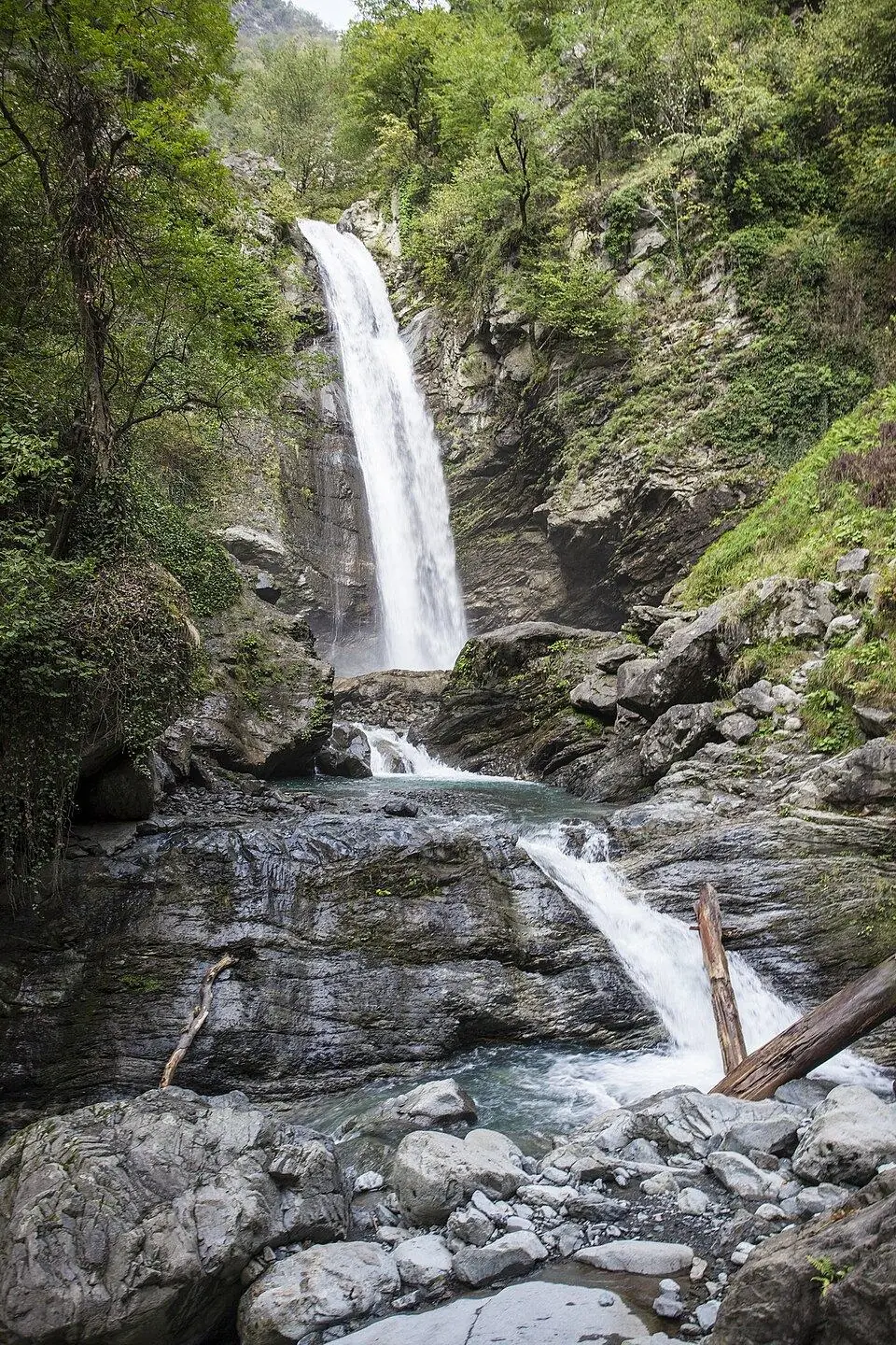
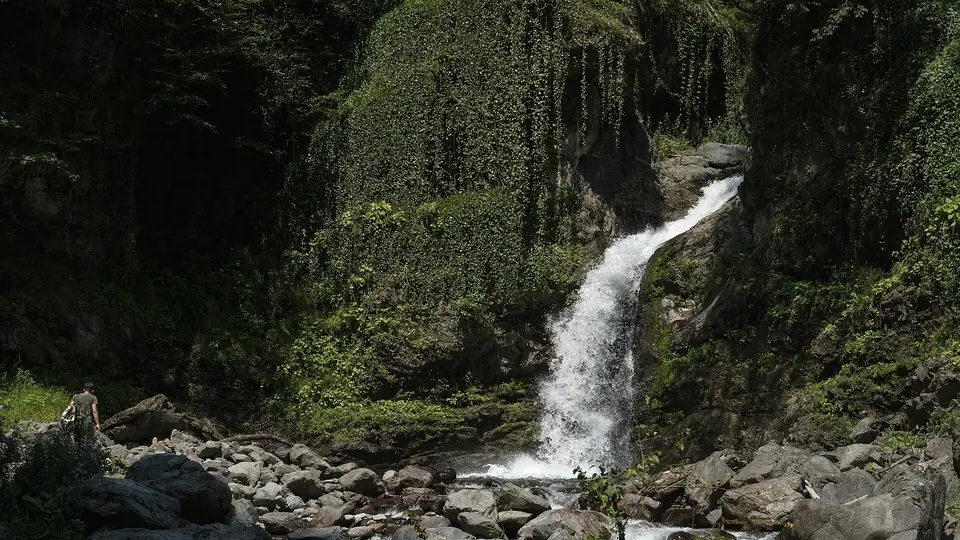 Black Grouse waterfall, LagodekhiPhoto: Alexey Komarov, CC BY-SA 4.0
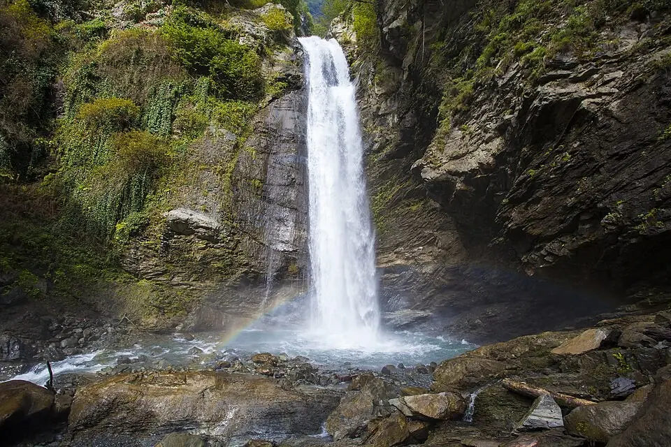
Lagodekhi was declared a nature reserve in 1912, the first in Georgia, and the Black Grouse trail shows why: within minutes of leaving the visitor centre you walk under huge beech, hornbeam, chestnut and ash trees that have rarely felt an axe. The Georgian name of the falls, Rocho, means black grouse, a bird of the high Caucasus. The trail itself stays low, finishing at around 900 m in a mossy gorge where the Shromiskhevi drops over a rock step in a single bright chute.
It is set up as a nature interpretation path with twelve numbered stops, from a stand of old chestnuts and a spring to a section the rangers call the Lagodekhi jungle. A booklet from the visitor centre, or QR codes along the way, explain each one. Bridges of logs and steel take you across the Shroma and a side creek, and only the final kilometre gets narrow and steep, on a ledge above the water.
Our grade is 2 of 5. The climbing is spread out and the path is clear, but the last part asks for sure feet and proper shoes. Compared with the Ninoskhevi waterfall trail it starts right at the visitor centre, so it is the easier one to do without a car.
Highlights
- Ancient beech, hornbeam and chestnut trees in the reserve founded in 1912
- A 6 m waterfall in an ivy-covered rock bowl
- Bridges over the Shroma river and its side streams
- Twelve numbered stops that explain the forest and the river
- Tracks of roe deer and wild boar on the softer ground
Trail facts
Last checked Nov 2026 by the Maspindzeli team. Mountain conditions change: ask us before you go.
Is this right for you?
Three quick questions for a friendly second opinion. Nothing is sent anywhere.
Stage by stage
| Day | From → to | Distance | Up | Down | Hours | Highest |
|---|---|---|---|---|---|---|
| 1 | Lagodekhi visitor centre → Shroma river crossing | ~2.2 km | ~+130 m | −0 m | 0.75 h | ~600 m |
| 1 | Shroma river crossing → Black Grouse Waterfall | ~2.5 km | ~+320 m | −0 m | 1.5 h | ~900 m |
| 1 | Black Grouse Waterfall → Lagodekhi visitor centre | ~4.8 km | +0 m | ~−450 m | 1.75 h | ~900 m |
01Visitor centre to the Shroma riverLagodekhi visitor centre → Shroma river crossing · ~2.2 km · 0.75 h
Sign in, pick up the trail booklet and follow the yellow and black waymarks into the forest. The first stretch is a wide, gentle path past the first numbered stops, the old chestnuts and Keto's Spring, through some of the oldest hornbeam stands in the reserve. After about 2 km a log bridge carries you over the Shroma river, the noisiest part of the walk.
01Up the Shromiskhevi gorge to the waterfallShroma river crossing → Black Grouse Waterfall · ~2.5 km · 1.5 h
Now the path follows the river upstream, crossing a side creek on a metal bridge and climbing steadily under ever bigger trees. For the last kilometre it becomes a narrow ledge on the slope above the water, with boulders and small cascades below; take it slowly, especially when wet. The gorge ends in a rock amphitheatre draped with ivy, where the waterfall pours into a stony pool. Have lunch on the boulders.
01Back down to LagodekhiBlack Grouse Waterfall → Lagodekhi visitor centre · ~4.8 km · 1.75 h
Return the same way. The narrow section is trickier going down, so watch your footing until you are back at the metal bridge; after the Shroma crossing it is an easy forest stroll to the visitor centre.
Practical information
Getting there
Lagodekhi lies right at the eastern tip of Georgia, roughly 160 km out of Tbilisi. By car allow 2.5 to 3 hours, by the Kakheti highway past Gurjaani or over the ridge by Sighnaghi. Marshrutkas run from the Samgori area of the capital; the fare was around 15 GEL (about $6) in 2026. The visitor centre is at the top of the town where the forest begins, a short taxi ride from where the minibuses stop. The path leaves from right beside it, so no further transport is needed.
Getting back
Walk back down the same path to the visitor centre. If you came by minibus, ask in town about the last departure to Tbilisi before you set off; afternoon services are few.
Water
Keto's Spring, one of the numbered stops in the first part of the walk, and the Shromiskhevi beside you for much of the way. Treat stream water before drinking. Buy food and drinks in Lagodekhi, as the path has no cafe or kiosk. Take 1.5 litres each in summer.
Phone signal
Fine around the rangers' building and in the lower, more open forest. Expect it to drop out in the narrow upper gorge near the waterfall.
Nearest help
Dial 112. Rangers work from the visitor centre at the start, and the town hospital is close by on the road back into Lagodekhi.
Permits
Every hiker registers with the rangers in the visitor centre first, showing a passport or ID. The day trails were free when we last checked, and the same desk can find you a local guide, which the park advises.
Gear and safety
What to bring
- Hiking boots with good grip for the narrow, often damp last kilometre
- Light rain jacket: storms build quickly over the reserve in summer
- Insect repellent from May to September
- 1.5 litres of water each and a packed lunch
- Passport or ID for the sign-in at the visitor centre
Stay safe
- After heavy rain the river rises fast in the narrow gorge: in a downpour, leave the riverbank at once and turn back.
- Old trees drop branches. The park asks visitors to stay out of the forest, or leave it quickly, in strong wind, snow or thunderstorms.
- The final kilometre is a narrow ledge above the stream. Keep children close and do not climb on the wet rocks by the fall.
- Bears live in the reserve but keep away from people; talk as you walk and never leave food behind.
- Shorter: walk only to the Shroma river bridge and back, about 4.5 km and 1.5 hours on the easy, wide part of the path.
- Loop: some hikers return on a forest path that links back to the parking area, about 10.5 km in all; ask at the visitor centre whether it is open and signed.
- The bigger waterfall: the 40 m Ninoskhevi fall starts from the Gurgeniani information point, a few kilometres away, and has more stream crossings.
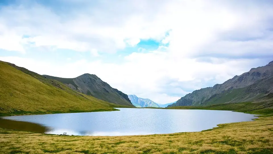
- Longer: the Black Rock Lake trek, three days up to the alpine border ridge, leaves from the same visitor centre.
- Wet weather: skip the gorge and spend the day in Kvareli or Sighnaghi, with wine cellars and the Kvareli wine tunnel.
Emergency number in Georgia: 112. Tell your guesthouse your plan before you set off.
Places on and near the route
Tours that include this trail
Black Grouse Waterfall Trail, Lagodekhi: FAQ
How long is the Black Grouse waterfall hike in Lagodekhi?
Roughly 9.5 km out and back, starting and ending at the visitor centre, with about 450 m of ascent. Most people need 4 to 5 hours including a rest at the fall; the park's trail board gives 4 to 5 hours, other sources 3 to 5.
Do I need a permit or a ticket?
No ticket was needed at our last check, but you must register with the rangers before setting off and bring a passport or ID, which they may ask to see.
Which is better, Black Grouse or Ninoskhevi waterfall?
Ninoskhevi is taller, about 40 m, but needs a lift to the Gurgeniani trailhead and has more river crossings. Black Grouse starts at the visitor centre, has bridges over the main crossings and a well-explained nature trail. With a full day and a car, do Ninoskhevi; without a car, choose Black Grouse.
Is the trail suitable for children?
Yes for children who walk regularly. The first 2 km to the Shroma river are easy for any age; hold small children's hands on the narrow ledge in the last kilometre.
Last checked Nov 2026 by the Maspindzeli team. Mountain conditions change: ask us before you go.
Read our guide
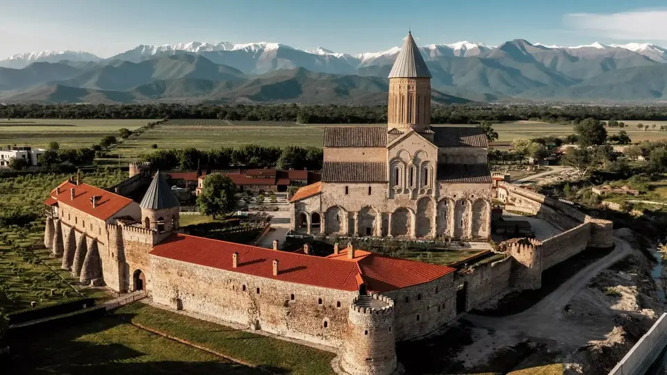 Photo: georgia.travel
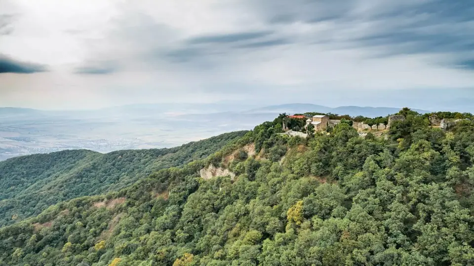
A full planner for Georgia's wine region: which road to take from Tbilisi, what to see around Sighnaghi, Telavi and Kvareli, how to book cellars, the semi-desert south, Lagodekhi's trails and day-by-day plans.
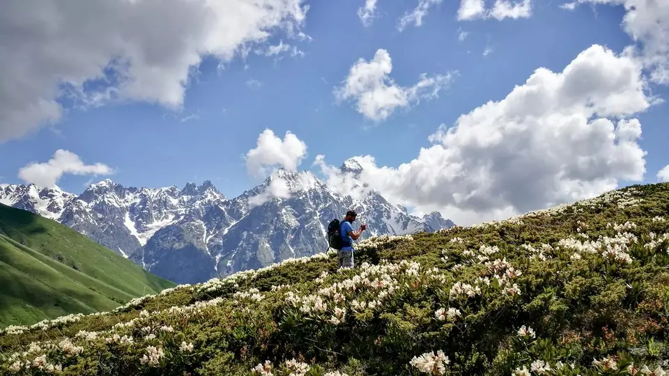 Photo: georgia.travel
Where to walk in Georgia's mountains and forests, when the passes open, how hard each trail is, what permits you need and how to stay safe, with tables of top walks and treks.