Samepo Ridge (Royal Ridge) Loop, Algeti National Park
The only waymarked trail in Algeti National Park, an hour from Tbilisi: a loop from the cool hill town of Manglisi along the Martalkhevi valley to the farms of Didi Namtvriani, then home over the open Samepo (Royal) Ridge. 16 km, ~450 m of climbing, 5 to 6 hours.
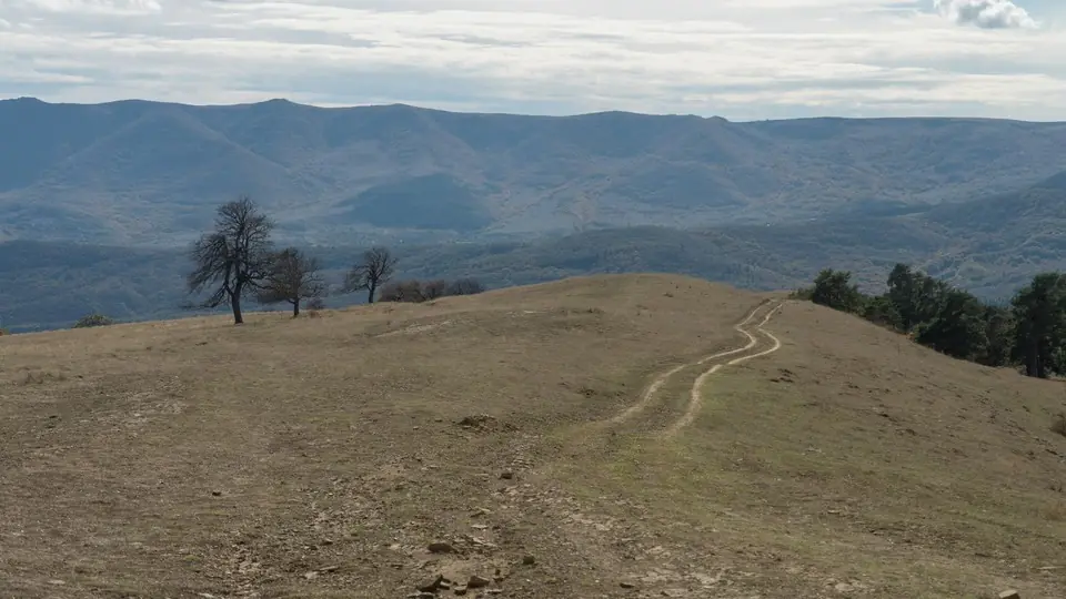 Open ridge above Manglisi, Algeti National ParkPhoto: Alexey Komarov, CC BY-SA 4.0
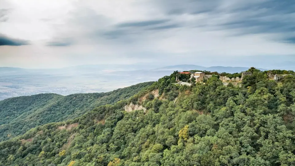
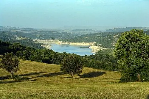
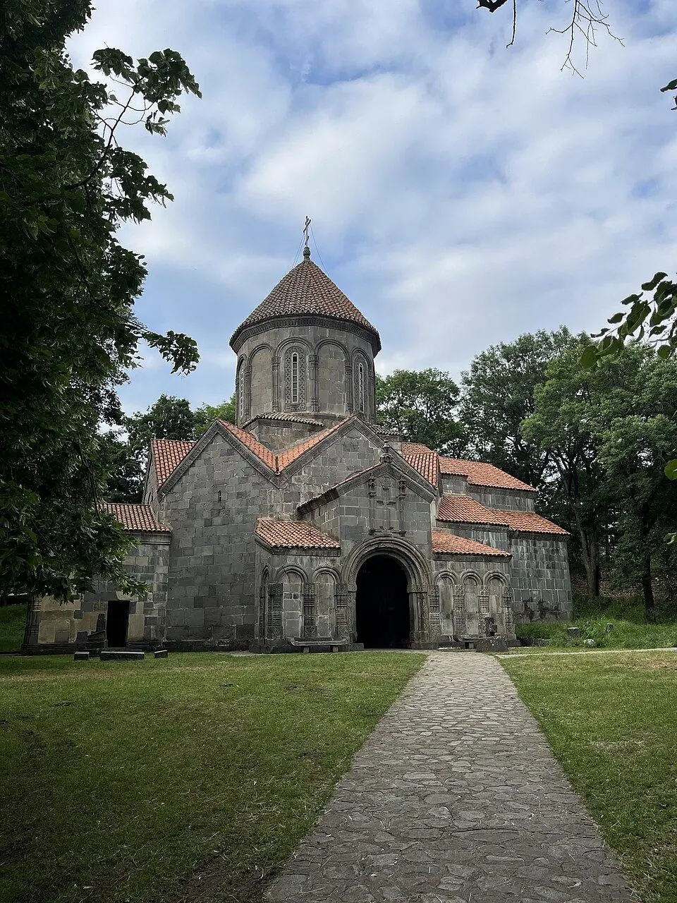
Algeti National Park guards the upper Algeti valley on the southern flank of the Trialeti range, where Caucasian spruce and Nordmann fir, trees of Georgia's wet west, grow at the eastern end of their range. Of the five walking and riding routes the park has laid out, Samepo Kedi, the Royal Ridge, is the one with paint marks all the way round. It begins and ends in Manglisi, a former spa town about 1,200 m up with one of the country's oldest churches.
The first half follows a gravel road and forest track gently uphill through the Martalkhevi valley to Didi Namtvriani, a pair of hill farms at about 1,410 m. The second half is the reason to come: firmer forest paths lead onto a broad grassy crest with lone trees and long views over the wooded hills of Kvemo Kartli, before the path drops back into town. Deer, hares and wild boar live in these woods, and bears and wolves also inhabit the park.
We grade it 2 of 5. Nothing is steep for long, but 16 km takes a full day with breaks, and the open ridge is exposed to wind and sudden fog. Of the ridge walks you can reach from Tbilisi by public transport it is one of the simplest, and a good warm-up before the high Caucasus.
Highlights
- Spruce and fir at the far eastern edge of their natural range
- The grassy Samepo crest with wide views over Kvemo Kartli
- Remote hill farms at Didi Namtvriani, halfway round
- Ruined early medieval chapels beside the path
- Golden autumn colour in the mixed forest in October
- Manglisi Cathedral, first built in the 5th century, at the start and finish
Trail facts
Last checked Nov 2026 by the Maspindzeli team. Mountain conditions change: ask us before you go.
Is this right for you?
Three quick questions for a friendly second opinion. Nothing is sent anywhere.
Stage by stage
| Day | From → to | Distance | Up | Down | Hours | Highest |
|---|---|---|---|---|---|---|
| 1 | Manglisi → Didi Namtvriani farms | ~8 km | ~+330 m | ~−110 m | 2.75 h | ~1,410 m |
| 1 | Didi Namtvriani farms → Manglisi | ~8 km | ~+120 m | ~−340 m | 2.5 h | ~1,440 m |
01Manglisi through the Martalkhevi valley to Didi NamtvrianiManglisi → Didi Namtvriani farms · ~8 km · 2.75 h
Check in at the visitor centre, then head out of town past the park's picnic ground. A gravel road and then a forest track take you along the Martalkhevi valley, gaining height slowly through mixed woodland and clearings. Recent walkers describe red and white paint stripes with yellow signposts, which replaced the older blue and white marks. After roughly 8 km you reach Didi Namtvriani, two farmsteads on a rise. Their dogs bark loudly at every passer-by; walk on calmly and let the owners call them back.
01Over the Samepo Ridge back to ManglisiDidi Namtvriani farms → Manglisi · ~8 km · 2.5 h
Just past the farm buildings the loop turns off onto a quieter path. Well-trodden forest tracks lead to a large clearing, and from there you climb gently onto the open crest of the Samepo Ridge, the high point of the day at roughly 1,440 m, with the forested Trialeti range ahead. Look out for the ruins of small early medieval churches near the route. The last part descends through the forest edge to Manglisi, where the cathedral makes a fitting finish.
Practical information
Getting there
Manglisi sits on the Trialeti plateau roughly 56 to 60 km south-west of Tbilisi; by car or with a driver the trip takes about 1 hour to 1 hour 15 minutes. Marshrutkas also run from the capital and need about 1.5 hours; travellers report departures from Didube and from the Station Square area, so confirm the stop the day before. The loop starts in town, so no second transfer is needed.
Getting back
The loop ends where it began, in Manglisi. If you rely on the marshrutka, ask in the morning when the last one leaves for Tbilisi and plan your pace around it.
Water
You can refill at the farms of Didi Namtvriani, about halfway, if the family agrees, and from streams along the way; treat stream water. There is no shop, cafe or hut on the loop, so buy lunch and snacks in Manglisi and carry 1.5 to 2 litres each.
Phone signal
Good in Manglisi and around the visitor centre, patchy in the valley and on parts of the ridge. Download an offline map with the route before you leave town.
Nearest help
Dial 112. Park staff work at the visitor centre in Manglisi during opening hours; the bigger hospitals are in Tbilisi, about an hour and a quarter by car.
Permits
Hiking here cost nothing when we checked; money changes hands only for extras such as the park cottages, camping spots and the rope park. The administration wants to hear from every hiker before a walk, so call by its office in Manglisi first (opening at 10:00 daily and closing at 18:00 Monday to Friday, 17:00 on Saturday and Sunday, in 2026). Pets are not allowed in the park, and fires are only permitted at the marked fireplaces.
Gear and safety
What to bring
- Ankle-high boots and sturdy long trousers, as the park itself advises
- A waterproof shell plus a fleece: wind and cool air are normal on the crest, even in July
- 1.5 to 2 litres of water each, plus lunch and snacks from Manglisi
- An offline map or the route on your phone
- Cash in lari if you plan to stay in a park cottage or camp
Stay safe
- Fog can close in on the open ridge within minutes. The park forbids hurrying in poor visibility: slow down, follow the marks and turn back if you lose them.
- Farm dogs at Didi Namtvriani are noisy and look fierce. Do not run or wave sticks at them; wait for someone from the farm if they block the path.
- After rain the clay tracks get slippery and muddy. Allow extra time and avoid the descent in a thunderstorm.
- The park is home to bears and wolves, which keep well away from walkers. Chat as you go, keep food sealed in your pack and never feed wildlife.
- There is no hut or shop on the route. Start by 10:00 so you finish in daylight, particularly in autumn.
- Short walk: Arsena's Cave, a legendary hideout of the folk hero Arsena Odzelashvili, lies about 1 km from Manglisi and can only be reached on foot.
- Overnight: the park rents two cottages, Zemo Chinchriani and Kalebis Tskaro, for roughly 30 GEL (about $11) a night per person in 2026, and camping spots for about 10 GEL (about $4); book through the visitor centre.
- With children: the rope park in the visitor centre yard has a family course (about 15 GEL, about $6) and a harder one (about 20 GEL, about $7).
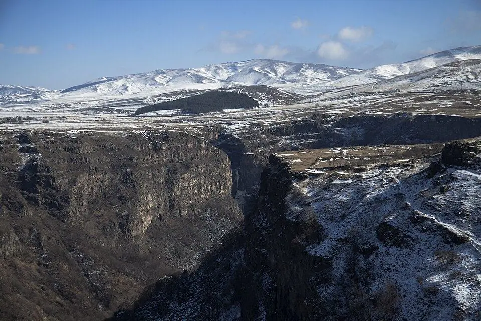
- Canyon day: Dashbashi Canyon near Tsalka is about 42 km, roughly 50 minutes, from the park, with a short trail to a waterfall.
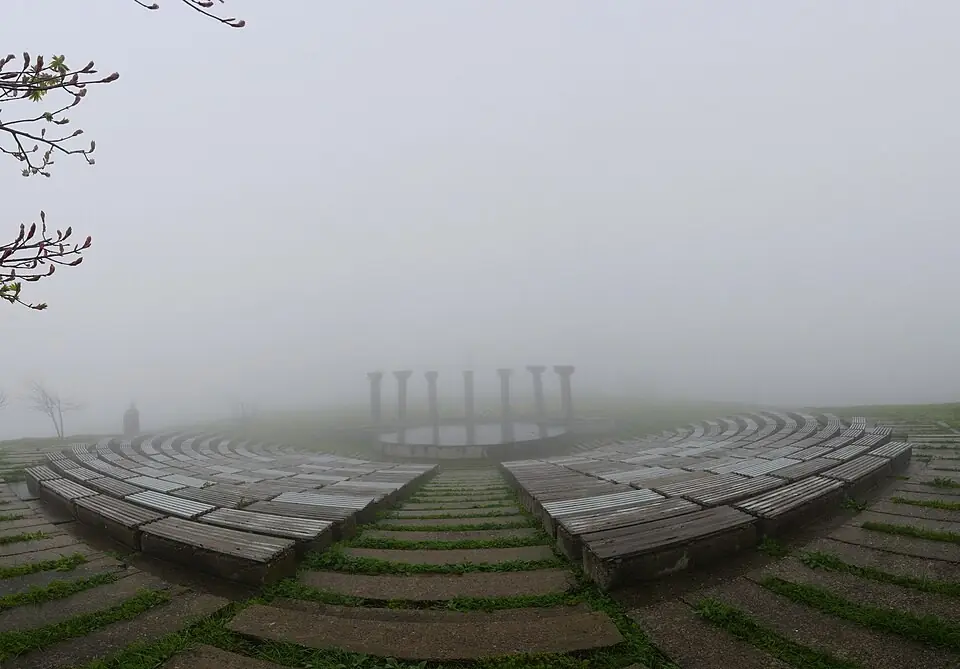
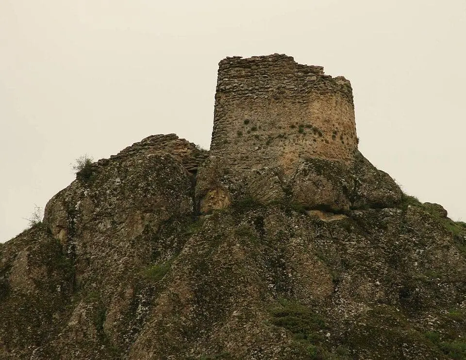
- History on the way home: stop at the Didgori battle memorial, about 25 km from Manglisi, or hike to the cliff-top Birtvisi fortress from Partskhisi.
Emergency number in Georgia: 112. Tell your guesthouse your plan before you set off.
Places on and near the route
Tours that include this trail
Samepo Ridge (Royal Ridge) Loop, Algeti National Park: FAQ
How long is the Samepo Ridge trail in Algeti National Park?
The park gives 16 km for the loop and 5 to 6 hours of walking. GPS records by hikers range from about 15.6 to 17 km with ~400 to 600 m of climbing; with lunch and photo stops, plan on 6 to 7 hours.
Is the Royal Ridge trail marked?
Yes, it is the only marked trail in the park. The official page mentions blue and white marks; hikers since report red and white stripes and yellow signposts. Carry an offline map in case marks fade in the forest.
Is there an entrance fee?
Walking the trail was free at our last check. You pay only for park services such as cottages, camping or the rope park. Contact or visit the visitor centre in Manglisi before you start, as the administration requests.
Can I hike it without a car?
Yes. Take a marshrutka from Tbilisi to Manglisi, about 1.5 hours, and walk from the town. Check the time of the last minibus back before you set off.
Can I bring my dog?
No. The park rules do not allow pets inside Algeti National Park.
Last checked Nov 2026 by the Maspindzeli team. Mountain conditions change: ask us before you go.
Read our guide
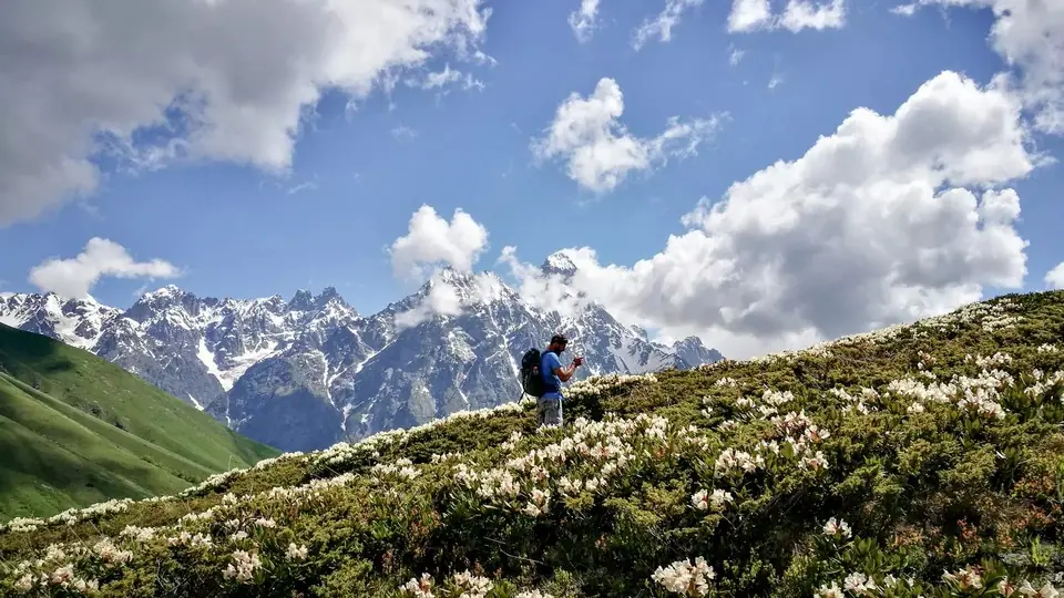 Photo: georgia.travel
Where to walk in Georgia's mountains and forests, when the passes open, how hard each trail is, what permits you need and how to stay safe, with tables of top walks and treks.
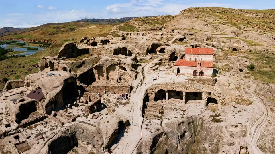 Photo: georgia.travel
Twelve trips out of the capital, from Mtskheta and Kazbegi to Sighnaghi, Uplistsikhe and David Gareja, with distances, transport options and which places deserve a night.
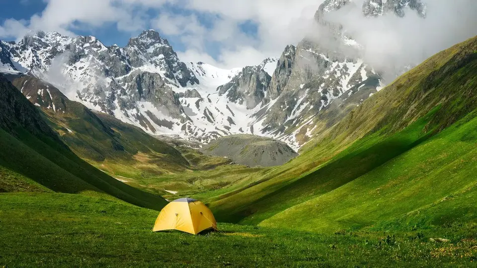 Photo: georgia.travel
The best places to camp in Georgia, region by region, with the rules for national parks and border zones, a month-by-month table of snow-free camps and night lows, and what to bring, rent or buy.