Ushguli to the Shkhara Glacier
The classic day out from Ushguli: about 8 to 9 km each way up the broad upper Enguri valley to the foot of the Shkhara Glacier, below Georgia's highest summit (5,193 m). Little climbing, about 450 m in total, but a long 5 to 6 hours return; a horse or 4x4 can shorten it.
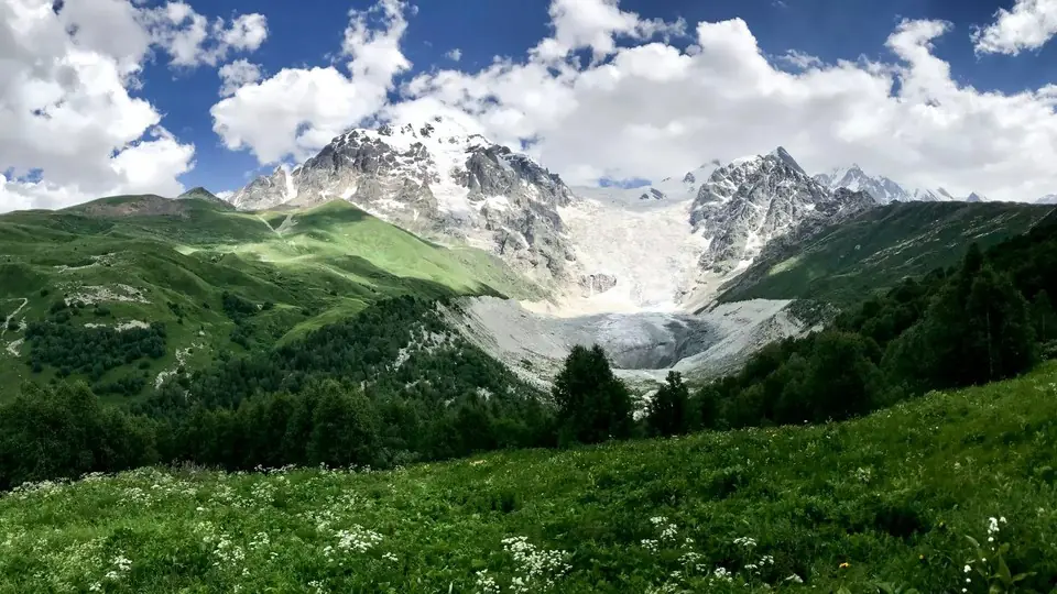
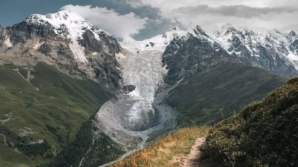
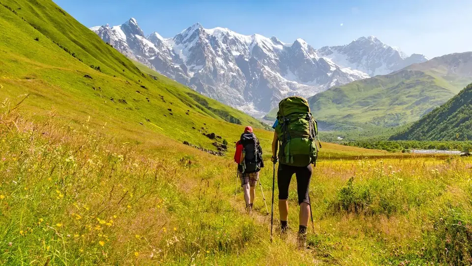 Towards the Shkhara GlacierPhoto: georgia.travel
Shkhara is the highest mountain in Georgia, at 5,193 m, and its south face forms a wall of ice and rock that closes the head of the Enguri valley above Ushguli. The glacier below it feeds the young Enguri River, and walking up to its snout is the obvious thing to do on a spare day in Ushguli. The mountain is in view almost the whole way, growing bigger with every hour.
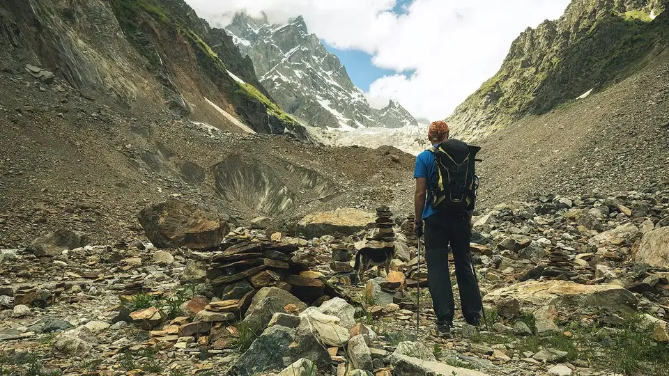
The route is simple. A dirt track leaves Ushguli and follows the valley floor north-east through hay meadows and summer pastures, crosses the river on a bridge, and ends after about 6 to 7 km. The last stretch is a footpath through birch scrub and over stony moraine to a viewpoint below the ice. Navigation is easy and the gradient gentle, so we grade it 2, moderate: the challenge is length and altitude rather than steep ground.
Because a 4x4 can drive most of the track and horses are for hire in the village, it is a good choice for mixed groups. One person can walk all of it while another rides or takes the car and walks only the final hour.
Highlights
- Shkhara, Georgia's highest summit, filling the head of the valley
- The birthplace of the Enguri River at the glacier snout
- Summer pastures and haymaking in the upper Enguri valley
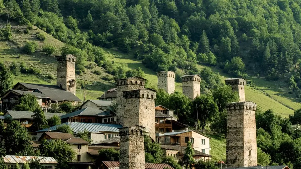
- Views back down to the towers of Ushguli on the way out
Trail facts
Last checked Oct 2026 by the Maspindzeli team. Mountain conditions change: ask us before you go.
Is this right for you?
Three quick questions for a friendly second opinion. Nothing is sent anywhere.
Stage by stage
| Day | From → to | Distance | Up | Down | Hours | Highest |
|---|---|---|---|---|---|---|
| 1 | Zhibiani, Ushguli → End of the drivable track | ~6.5 km | ~+200 m | ~−20 m | 1.75-2.25 h | ~2,300 m |
| 1 | End of the track → Viewpoint below the Shkhara Glacier | ~2 km | ~+230 m | ~−30 m | 0.75-1 h | ~2,450 m |
| 1 | Glacier viewpoint → Ushguli | ~8.5 km | ~+20 m | ~−400 m | 2-2.5 h | ~2,450 m |
01Ushguli up the valley trackZhibiani, Ushguli → End of the drivable track · ~6.5 km · 1.75-2.25 h
Leave Zhibiani on the dirt road below Lamaria Church and head up the valley. The track rises very gently through open pasture, with haystacks, cattle and the odd shepherd's hut. Around the halfway point it crosses to the other bank on a bridge, where a seasonal cafe sometimes serves tea and khachapuri in summer.
01Footpath to the glacier viewpointEnd of the track → Viewpoint below the Shkhara Glacier · ~2 km · 0.75-1 h
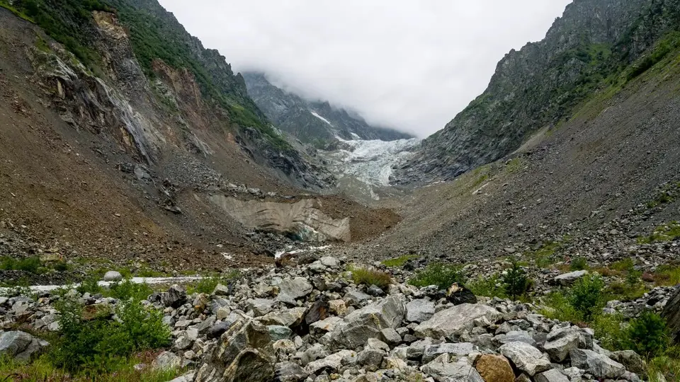
A footpath carries on through low birch scrub, crossing small side streams on stones, then climbs onto the moraine. Pick your own line over the boulders to a viewpoint facing the grey, rubble-covered tongue and the meltwater cave where the Enguri emerges. Stop here: there is no need to go closer.
01Back to UshguliGlacier viewpoint → Ushguli · ~8.5 km · 2-2.5 h
Return the same way. The walk out is quicker and gives you the view the other way, toward the towers of Ushguli and the Lamaria hill. Late afternoon light on the village is a good reason not to rush.
Practical information
Getting there
You need to be in Ushguli, which most people reach from Mestia: 45 km, an hour and a half now that the road is surfaced. A seat in a shared van or jeep costs in the region of 40 to 50 GEL (some $15 to $19) in summer 2026, or around 200 to 250 GEL ($75 to $95) to hire the whole car one way. Sleep in Ushguli the night before so you can start by 8:00. To skip the dull first half of the valley, a local 4x4 can drop you near the end of the drivable track: about 100 to 150 GEL (about $37 to $55) per car return with the driver waiting in 2026. A horse with its handler costs about 100 GEL (about $37) or a bit more for the day.
Getting back
Walk back down the valley the same way, or arrange beforehand for your 4x4 driver to meet you at the end of the track. If you are leaving Ushguli the same afternoon, remember that shared transport to Mestia thins out after about 15:00 in most seasons.
Water
Fill bottles in Ushguli. The Enguri and its side streams are milky with glacial silt near the glacier; the small clear side streams lower down are better but should still be filtered or treated, because cattle and horses graze the whole valley. Carry at least 1.5 litres per person.
Phone signal
Reasonable in Ushguli and for the first few kilometres of the valley; it fades as you go further up and is often gone near the glacier. Download an offline map before you leave.
Nearest help
Dial 112. Ushguli has no hospital; the nearest is in Mestia, about 1.5 hours by road, and serious cases go on to Zugdidi or Kutaisi. A 4x4 can drive up most of the valley track, which makes evacuation of an injured walker easier than on other Svaneti routes.
Permits
None, and no fee. The walk stays in the Georgian side of the valley well below the main ridge. Still, keep your passport with you and let the people at your guesthouse know your plan for the day.
Gear and safety
What to bring
- Walking boots or sturdy trail shoes; the moraine is rough and the side streams can wet your feet
- Sun hat, sunglasses and high-factor sunscreen: the valley is open and at over 2,000 m
- Warm layer and rain jacket; wind off the glacier is cold even in August
- Packed lunch and snacks from your guesthouse, plus water or a filter
- Cash in GEL for horses, a 4x4 or the seasonal cafe
Stay safe
- Do not climb onto the glacier or go near the ice cave: stones and blocks of ice fall from the snout without warning.
- Cloud and thunderstorms often build over Shkhara by early afternoon; start early and turn back if a storm is coming.
- Herding dogs guard the flocks in the valley. Keep your distance, do not run, and let the shepherd call them off.
- After heavy rain the side streams on the footpath can rise quickly; cross where they spread wide and shallow, or turn back.
- Shorter: take a 4x4 to the end of the track and walk only the final 2 km to the viewpoint and back, about 1.5 to 2 hours on foot.
- On horseback: hire a horse in Ushguli for the valley section; a handler walks with you.
- Longer: experienced walkers can add the side path toward Namkvami lake, at about 2,500 m, a steeper extra climb; go with a guide.
- Bad-weather day: stay in Ushguli, visit the Chazhashi tower museum and climb the short path to Lamaria Church.
Emergency number in Georgia: 112. Tell your guesthouse your plan before you set off.
Places on and near the route
Tours that include this trail
Ushguli to the Shkhara Glacier: FAQ
How long is the Shkhara Glacier hike from Ushguli?
About 16 to 18 km return, depending on where in Ushguli you start, with roughly 450 m of gentle ascent. Most people take 5 to 6 hours including a stop at the glacier.
Can I drive to the Shkhara Glacier?
Partly. Local 4x4s run up the valley track to within about 2 km of the glacier, leaving a 1.5 to 2 hour walk there and back. In 2026 expect about 100 to 150 GEL per car for the return trip with waiting.
Can I do the Shkhara Glacier hike as a day trip from Mestia?
It is possible with a 4x4 for the valley track, but the day is long: three hours of driving plus the walk. It is much better to sleep in Ushguli and start early.
Do I need a guide for the Shkhara Glacier?
Not for route finding, as the track is obvious. A guide is worth it for families or mixed groups, to arrange horses or a 4x4, and to tell you about the valley's villages and history.
Last checked Oct 2026 by the Maspindzeli team. Mountain conditions change: ask us before you go.
Read our guide
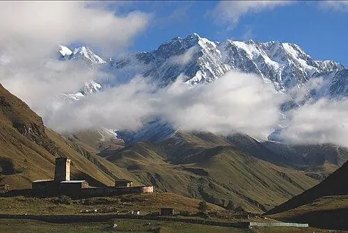
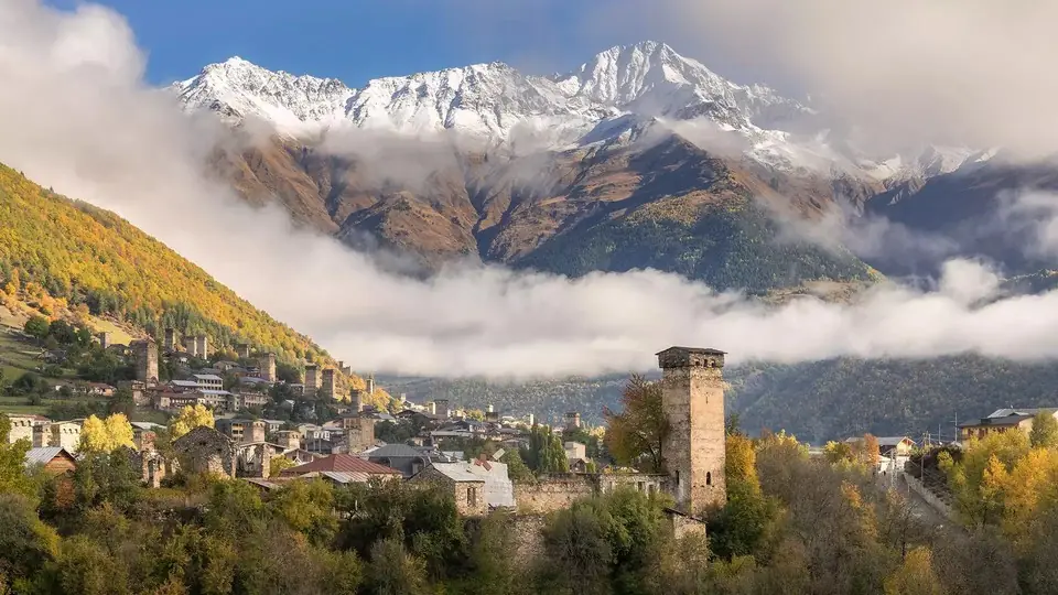 Photo: georgia.travel
The complete planner for Upper Svaneti: how to reach Mestia, what to see in Ushguli, which hikes suit you, when to go, where to sleep and how many days to give it.
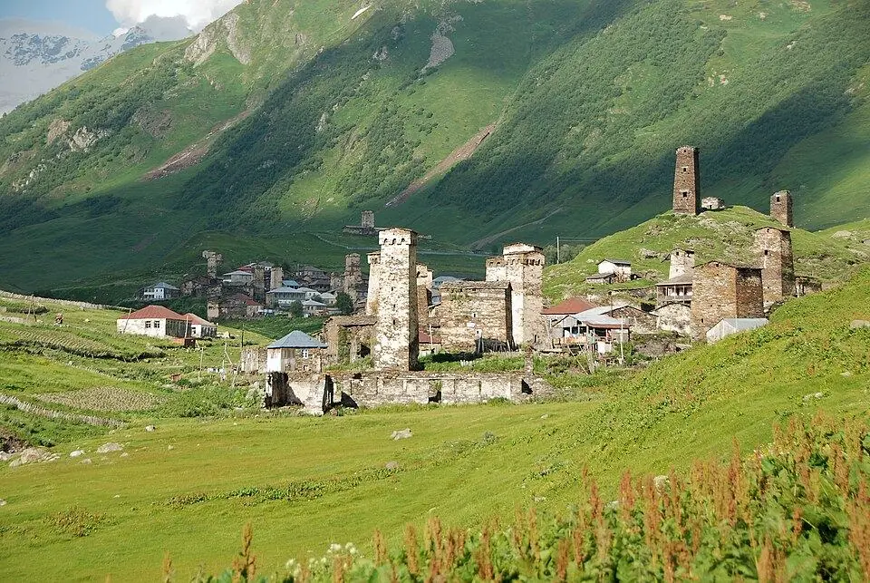
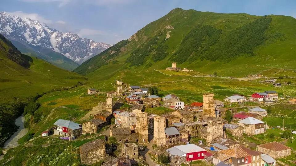 Photo: georgia.travel
Four days and roughly 55 km through Svan tower villages: each stage explained, plus the river ford, where to sleep, what to pack and when the pass is clear.
 Photo: georgia.travel
Where to walk in Georgia's mountains and forests, when the passes open, how hard each trail is, what permits you need and how to stay safe, with tables of top walks and treks.