Tbilisi Sea
The Tbilisi Sea is a 1950s reservoir on the city's north-east edge, where locals swim, sunbathe and take boats out on summer weekends.
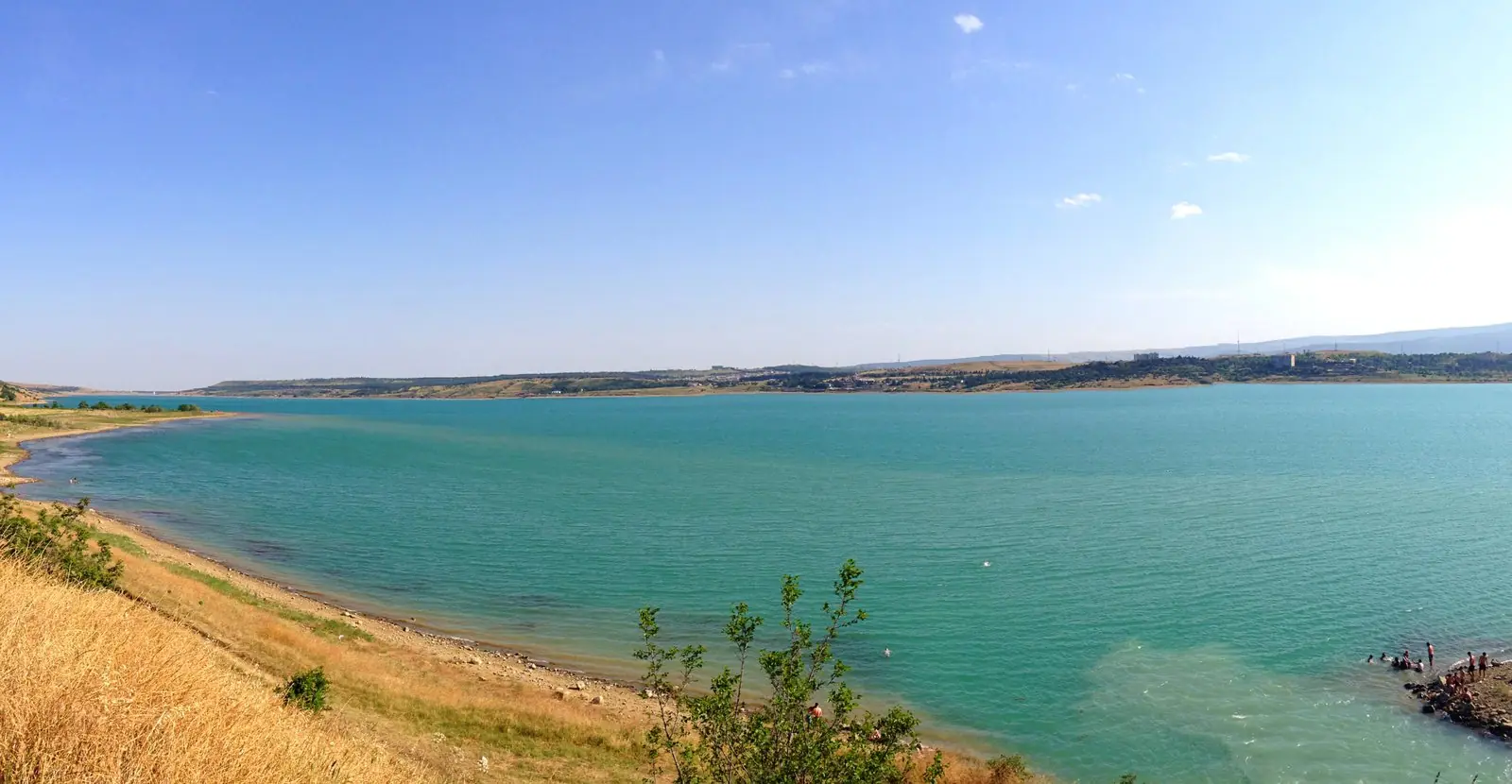 Tbilisi SeaPhoto: MaxBenidze, CC BY-SA 4.0
The Tbilisi Sea is a reservoir, not a sea, covering ~11.6 sq km of the Iori Plateau on the north-eastern fringe of the capital. Its formal name is the Tbilisi Reservoir, yet nearly everyone uses the nickname, Tbilisis Zghva in Georgian, a fond label in a city that has no coast of its own. The basin runs ~9 km from north-west to south-east and drops to ~45 m at its deepest when full. It still supplies drinking water to part of Tbilisi and irrigation water to the Samgori farmland further east, so it is a working reservoir as much as a playground.
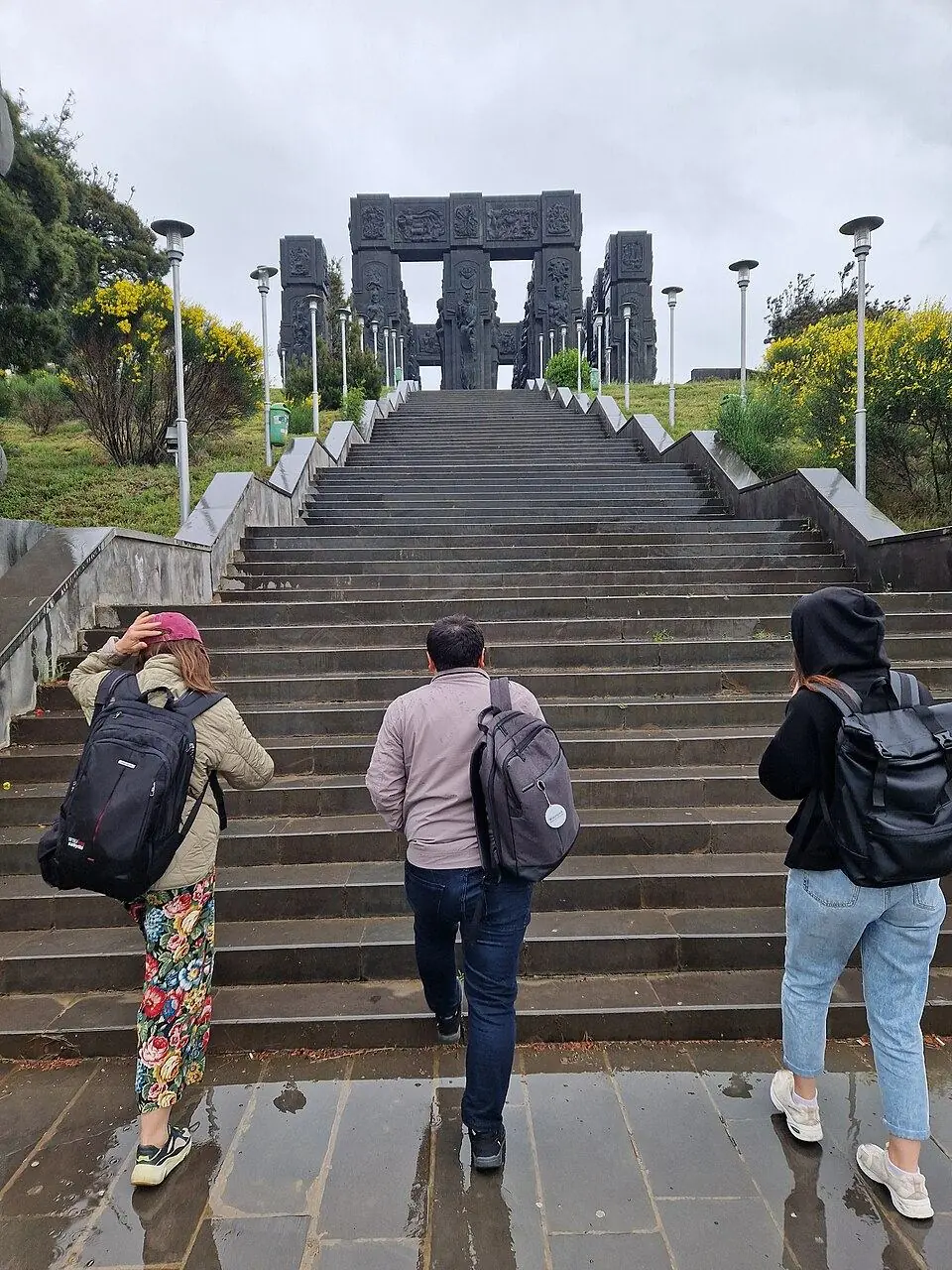
In July and August the north-western corner becomes the city's beach. The free Central Beach lies right under the Chronicles of Georgia, and families arrive with towels and coolers to swim in water that warms into the low 20s °C by August. A few kilometres south along the same shore, the Tbilisi Sea Club charges for its pools, slide, loungers and bars. Boats and water skis can be hired in the warm months, and on clear evenings many people drive up just to sit by the water as the low sun turns the far shore gold.
History
Soviet engineers created the reservoir as the heart of the Samgori irrigation scheme for the dry plains east of the city. They flooded a basin that had held three salt lakes, Avlabari, Ilguniani and Kukia, and filled it with Iori water brought by the Upper Samgori main canal. It opened in 1953 by most accounts, 1954 by one. After the Zhinvali dam was completed in 1985, Aragvi water arriving by tunnel became the main inflow. Seepage into cellars in Gldani and Avchala later forced a lower planned level. Since the 2010s the Chinese Hualing Group has been developing ~420 hectares by the southern end as Tbilisi Sea New City.
What to see and do
- Swim and sunbathe at the free Central Beach on the north-western shore
- Spend a hot afternoon at the Tbilisi Sea Club, with pools, a water slide and bungalows
- Hire a boat or try water skiing when the summer operators are out
- Climb to the Chronicles of Georgia on the hill above the beach for a view down the whole reservoir
- Stay for the evening light, when the water and the bare hills opposite glow
How to visit
Getting there
The Central Beach is ~11 km by road from Freedom Square, roughly 20 minutes by taxi or ride-hailing car with light traffic and 30-40 minutes at rush hour. City buses also run out to the shore, but routes change, so look up the current number in a transport app before you set off.
When to go
Late June to early September for swimming; spring and autumn evenings for walks. Plan 2 hours to a full beach day here.
- On summer weekends get there before 11:00: by midday the free beach and its parking are packed, and shade is scarce.
- Pack water shoes, a towel, sun cream and some cash for loungers and snacks, since the public beach has only basic facilities.
- We found no official 2026 bathing-water report, so swim where the crowd swims, stay out after heavy rain and keep children within reach.
- Leave the shore by taxi app rather than hoping to flag a car: outside July and August very few pass the beach road.
Weather at Tbilisi Sea
Based on the climate of Tbilisi, 7 km away. Warmest in August (32° by day), coldest in January (0° at night), with 511 mm of rain a year. Best months: Sep–Oct.
Tbilisi Sea: FAQ
Can you swim in the Tbilisi Sea?
Yes. From late June to early September the Tbilisi Sea is the main open-water swimming spot for the capital, and the shallows near the beach warm up quickly. Entry to the public beach costs nothing; lifeguard cover has varied from year to year, so ask on arrival.
Why is it called a sea?
It is a local nickname. The city has no coast, and this ~9 km sheet of water is far larger than any lake in or near it, so residents started calling it a sea. On maps and in official papers it is the Tbilisi Reservoir.
How deep is the reservoir?
At full level it reaches ~45 m at the deepest point and averages ~26 m. Water is drawn off through summer and autumn, so by autumn the level can sit several metres lower than in spring.
How long does it take to get there from the centre?
Count on 20-40 minutes in a car, depending on traffic, for the ~11 km from the old town to the main beach. A taxi or Bolt is simplest; buses also run, but check the route in an app first.
Read more in our guides
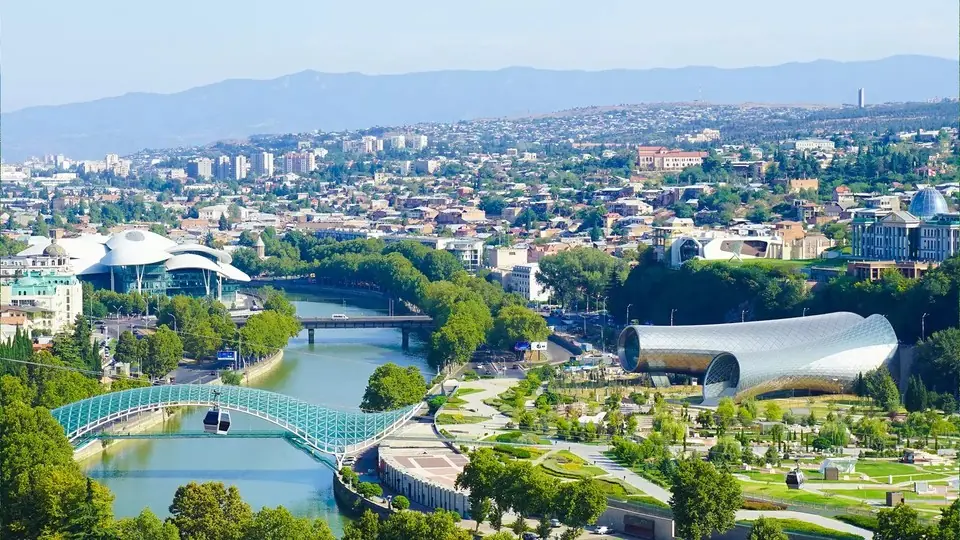 Photo: georgia.travel
Sulphur baths, the Narikala cable car, Soviet curios at the Dry Bridge and qvevri wine in Sololaki: 29 ideas by neighbourhood, with where to stay and how many days to plan.
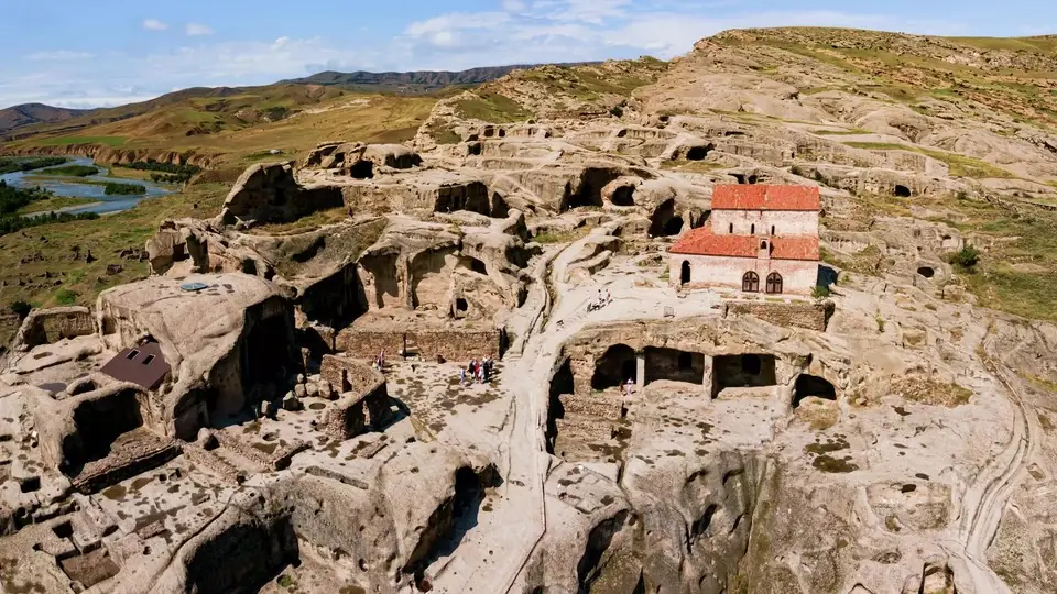 Photo: georgia.travel
Twelve trips out of the capital, from Mtskheta and Kazbegi to Sighnaghi, Uplistsikhe and David Gareja, with distances, transport options and which places deserve a night.
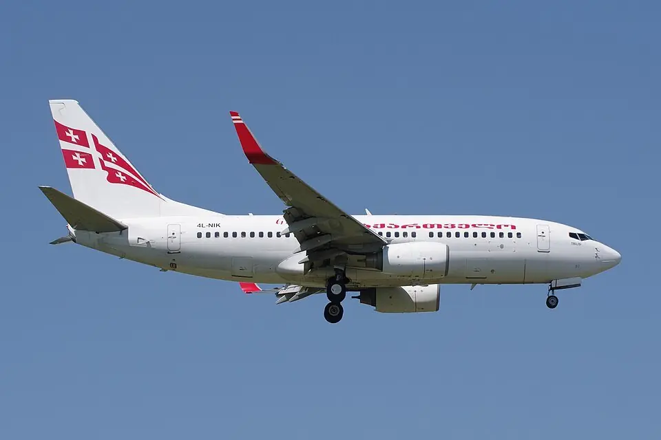 Photo: André Gerwing, CC BY-SA 4.0
Which airlines fly to Tbilisi, Kutaisi and Batumi in 2026, how long the flights take, when fares drop, and whether to land in Tbilisi or Kutaisi.
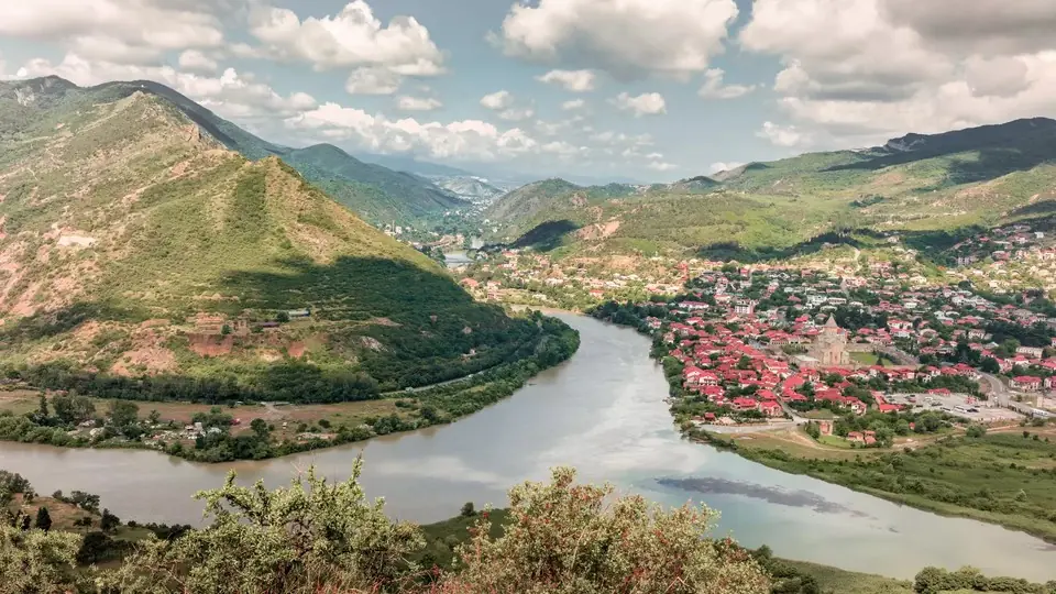 Photo: georgia.travel
How to reach Mtskheta from Tbilisi by minibus, Bolt or driver, how to get up to Jvari on its hill, the best order for the three UNESCO churches, where to eat and what to add.
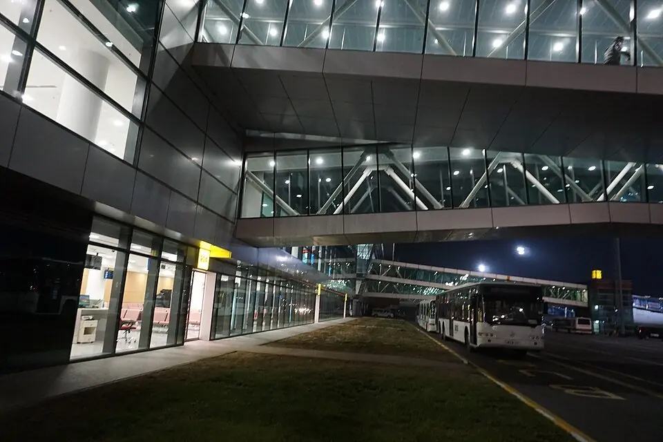 Photo: Andrew Milligan Sumo, CC BY 2.0
Everything between the plane door and your hotel: passport control, cash and SIM cards at TBS, then bus 337, Bolt, the official taxi or a private driver into Tbilisi, plus night landings and flying home.
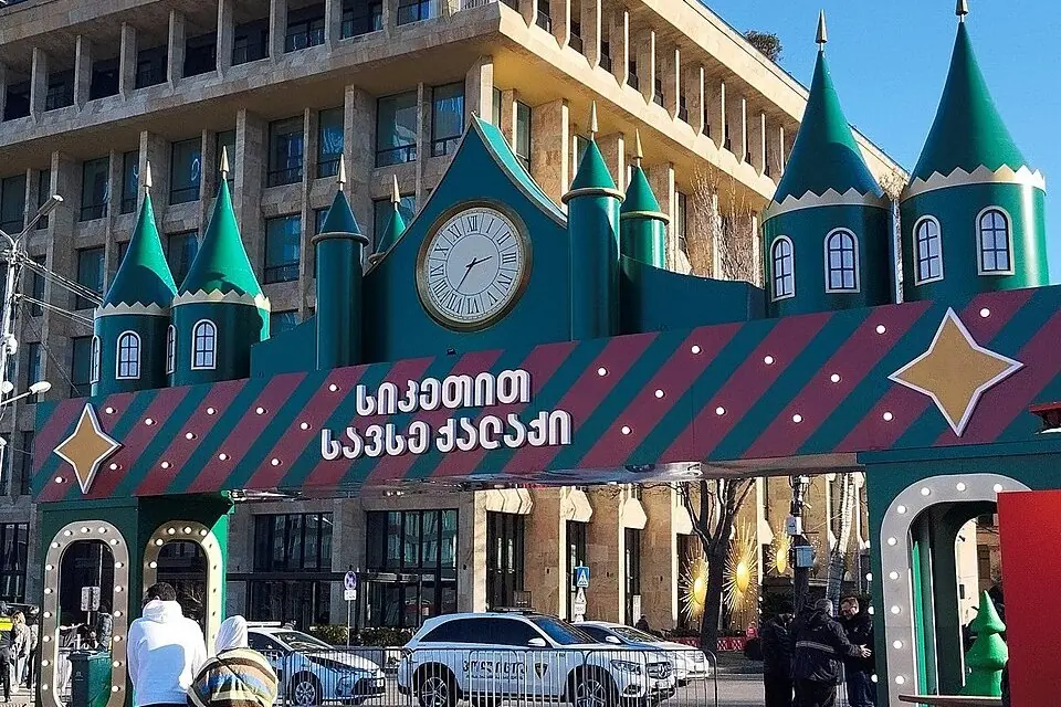 Photo: Eka Samkharadze, CC BY-SA 4.0
Wooden stalls, a giant tree and hot Saperavi from mid-December into January: where the Tbilisi Christmas market and the lights have been, when the 2026/27 season should open, and how to plan a festive trip around it.
Nearby places
Straight-line distance from Tbilisi Sea.