Mount Kokhta Ridge Loop, Bakuriani
A summer ridge walk over the ski slopes of Georgia's oldest resort: up the grassy runs of Mount Kokhta, along the crest to Kokhta 2 at about 2,270 m, then down past the Crystal lifts into Bakuriani. ~13.5 km with ~750 m of ascent and descent, a 5 to 6 hour day.
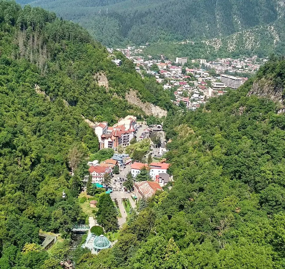
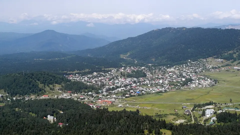 Bakuriani from the Kokhta hill in AugustPhoto: Franzfoto, CC BY-SA 3.0
Bakuriani built the country's first ski base back in 1932, yet from June the resort on the northern side of the Trialeti range becomes a cool, green walking base at roughly 1,700 m. Mount Kokhta, about 2,157 m, is the wooded hill that rises south-east of the village centre, with a two-stage chairlift to its top. A broad crest links it to a second summit, Kokhta 2, and further south to the upper station of the Crystal complex's lifts.
This loop strings those points together. From the village you walk out to the Kokhta base, climb the winding grass runs to the summit, follow the ridge to Kokhta 2 and the Crystal top at about 2,270 m, then drop back down the long, easy Crystal runs into the southern end of the village. The views reach over the roofs of Bakuriani, the pine forests around it and the hills that fold north towards the Borjomi gorge.
We grade it 2 of 5. There is no waymarked hiking path, but in clear weather the lift lines, pylons and open runs make the way plain. The one hard pull is the climb from the middle station to the top of Kokhta. Families can halve the day by starting at the Kokhta base and turning round on the summit.
Highlights
- The whole of Bakuriani spread out below the summit of Kokhta
- A grassy ridge walk over Kokhta 2 to the top of the Crystal lifts, around 2,270 m
- Viewpoints above the Crystal gondola looking over the valley
- Pine forest, summer meadows and flowers on the open runs
- An easy start and finish in the village, with cafes at both ends
- A short version for families, starting at the Kokhta base
Trail facts
Last checked Nov 2026 by the Maspindzeli team. Mountain conditions change: ask us before you go.
Is this right for you?
Three quick questions for a friendly second opinion. Nothing is sent anywhere.
Stage by stage
| Day | From → to | Distance | Up | Down | Hours | Highest |
|---|---|---|---|---|---|---|
| 1 | Bakuriani bus station → Kokhta summit | ~5.5 km | ~+500 m | ~−40 m | 2.25 h | ~2,157 m |
| 1 | Kokhta summit → Upper station of the Crystal chairlift | ~1.8 km | ~+230 m | ~−100 m | 1 h | ~2,270 m |
| 1 | Upper station of the Crystal chairlift → Bakuriani village centre | ~6.3 km | ~+20 m | ~−610 m | 2 h | ~2,270 m |
01Bakuriani to the summit of Mount KokhtaBakuriani bus station → Kokhta summit · ~5.5 km · 2.25 h
Walk east out of the centre along the streets towards Kokhta, about 2.7 km to the lift base beside the large hotels, or take the local bus to save your legs. From the bottom station follow the Kokhta-Plato run, an easy slope next to the first chairlift, up to the middle station at about 1,875 m. The direct line beside the upper chair is very steep grass; the winding Kokhta-Gora 2 run adds about a kilometre but climbs at a far kinder angle to the top station on the summit. Look back for the whole village laid out below.
01Along the crest to Kokhta 2 and the Crystal topKokhta summit → Upper station of the Crystal chairlift · ~1.8 km · 1 h
Head south-east off the summit and lose roughly 100 m to a saddle, then climb the broad crest to Kokhta 2, where the Mitarbi 2 chairlift ends. From there a ski run follows the ridge south for about 900 m to the upper station of the Crystal chairlift, the high point of the loop at around 2,270 m. This is the most open stretch: wind and fog arrive quickly, so do not linger if clouds build in the afternoon.
01Down the Crystal runs back to the villageUpper station of the Crystal chairlift → Bakuriani village centre · ~6.3 km · 2 h
Descend the Crystal 2 run north-west to the top of the Crystal gondola at about 2,040 m, where maps mark a string of viewpoints over the valley. The long, gentle Crystal 1 run then winds down for about 2 km to the hotel complex at its foot. Keep to the open run and the service track and stay out of any fenced areas. From the Crystal buildings, the streets lead north for about 2.8 km back to the centre and the bus station.
Practical information
Getting there
The road climbs about 30 km from Borjomi to Bakuriani, some 40 minutes' drive, and the full trip from Tbilisi covers 180 to 190 km, so allow three hours or a little more by car. Shared minibuses run straight from Didube station in Tbilisi with only a handful of departures, most of them early in the day, at around 20 GEL (about $7) per seat in 2026. Going via Borjomi by train or bus and then a local van is slower but gives more choice of times. The little Kukushka mountain railway from Borjomi stopped running in 2020; find out whether it is back before you count on it.
Getting back
You finish in the village itself. The direct minibuses back to Tbilisi leave only a few times a day, so ask at the bus station for the last departure before you start walking.
Water
Fill your bottles in the village. Maps show a drinking fountain near the Kokhta resort, and the hotel cafes at the Kokhta base may be open in season, but above the base there is nothing to rely on, so take enough for the whole loop and a packed lunch.
Phone signal
Usually good, because the village and the lift stations stay in view for most of the walk; it can drop in the forested dips. Save an offline map before you set off.
Nearest help
Dial 112. Bakuriani has an emergency medical centre and a pharmacy close to the centre; the hospital in Borjomi is about 40 minutes down the road.
Permits
None. The loop stays inside the ski area and village, short of the Ktsia-Tabatskuri reserve further south, and walking the slopes is free. You pay only if you ride a chairlift, on the years it runs in summer.
Gear and safety
What to bring
- Sturdy trail shoes or light boots whose soles grip on steep grass, which is often damp in the morning
- Walking poles, which help a lot on the climb to Kokhta and on the long descent
- A windproof jacket and a warm layer for the crest, even in midsummer
- Sun cream, a hat and sunglasses: most of the route has no shade
- Lunch bought in the village and a good 1.5 to 2 litres to drink per person
- An offline map with the lift lines and runs marked
Stay safe
- Never walk on the runs while the ski lifts operate in winter: skiers come down fast and snow groomers work at night.
- Summer afternoons can bring thunderstorms. Start by 10:00, and get off the open crest between Kokhta 2 and the Crystal top if you hear thunder.
- Steep grass becomes slippery after rain or dew, above all on the direct line below the Kokhta summit. Take the winding run instead.
- Quad bikes, mountain bikers and grazing cattle share the tracks and slopes in summer. Give animals room and keep children close near lift stations and machinery.
- Ticks live in the long grass and forest edges. Wear long trousers and check yourself and your children after the walk.
- Short family walk: start at the Kokhta base and climb the winding runs to the summit and back, about 5.5 km and roughly 430 m up, allow two and a half hours or a bit more. The Kokhta and Mitarbi chairlifts carried summer visitors in 2025, while in 2026 MTA announced only the Didveli lifts, so ask at the base whether you can ride up and walk down.
- Lift-assisted views: in summer 2026 the Nodo gondola at Didveli ran daily, lifting walkers from about 1,855 m to its upper station at about 2,160 m on the other side of the village.
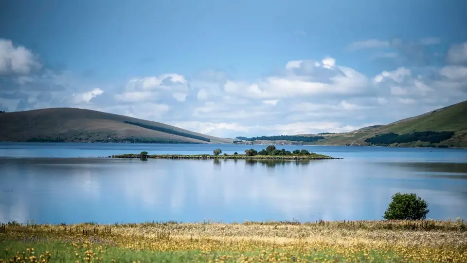
- Tskhratskaro Pass: the unpaved road south of the village climbs past Didveli to this pass at about 2,450 m, whose name means nine springs. Walk it out and back in a long day, or carry on over two days to Lake Tabatskuri (about 28 km in all), sleeping in a tent or a village guesthouse by the lake.
- Into the reserve: a longer loop from the village of Didi Mitarbi, about 6 km east of the centre, climbs past Didi Mitarbi Lake to look over the Ktsia-Tabatskuri reserve and returns along this same crest, about 20 km, best split over two days.
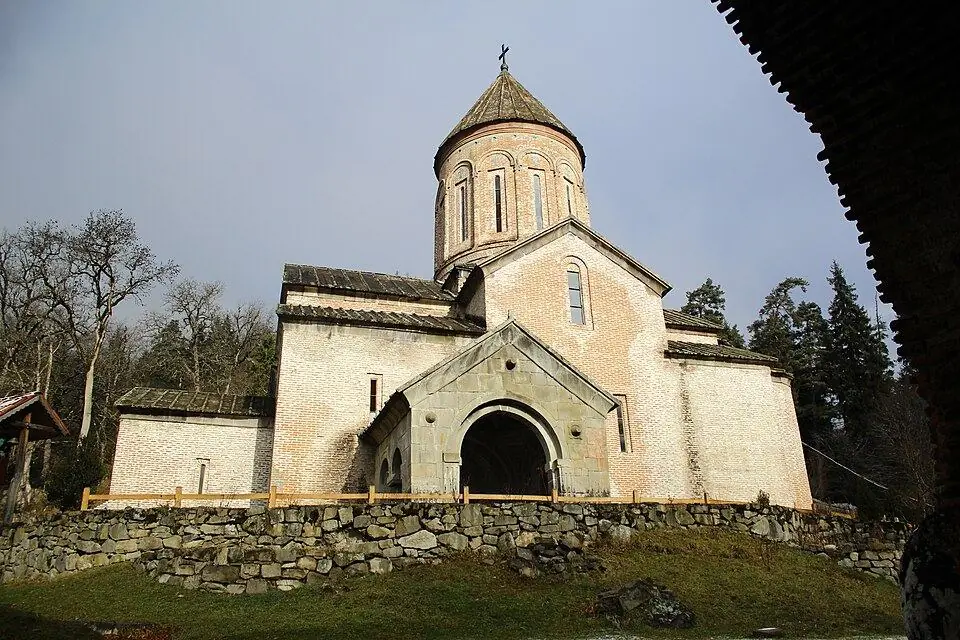
- Easy day: stroll through the Bakuriani Alpine Botanical Garden, or drive to Timotesubani, about 7 km north as the crow flies but further by road, a monastery whose church keeps painted walls from the early 1200s.
Emergency number in Georgia: 112. Tell your guesthouse your plan before you set off.
Places on and near the route
Tours that include this trail
Mount Kokhta Ridge Loop, Bakuriani: FAQ
How long is the hike up Mount Kokhta in Bakuriani?
From the Kokhta base the climb to the summit is about 2.8 km on the winding run and roughly 430 m up, around 1.5 hours. Our full loop from the village centre over Kokhta 2 and back via the Crystal runs is about 13.5 km and climbs ~750 m; with breaks it fills 5 to 6 hours.
Do the Bakuriani ski lifts work in summer?
Some do. MTA, the state lift operator, kept the two Didveli lifts, Nodo and Deka, turning daily for summer visitors in 2026, starting on 6 July and running from about 11 in the morning until 6 in the evening. Kokhta's chairlifts also ran in summer 2025, but they were not in the 2026 announcement, so check locally before counting on them.
Is the route marked?
No. It follows ski runs, lift lines and an open ridge rather than a signed trail. In clear weather that is easy to follow; in fog, rely on an offline map or GPS track.
Is it suitable for children?
The short version from the Kokhta base to the summit and back suits most school-age children. The full loop is long for small legs, mainly because of the 13.5 km and the steep grass near the top.
Can I walk from Bakuriani to Lake Tabatskuri?
Yes. A gravel road crosses the Tskhratskaro Pass at about 2,450 m and drops to the lake at 1,991 m, roughly 28 km in total, usually walked over two days. There is no shade on the plateau, and shepherds' dogs guard the summer camps, so walk calmly past them.
Last checked Nov 2026 by the Maspindzeli team. Mountain conditions change: ask us before you go.
Read our guide
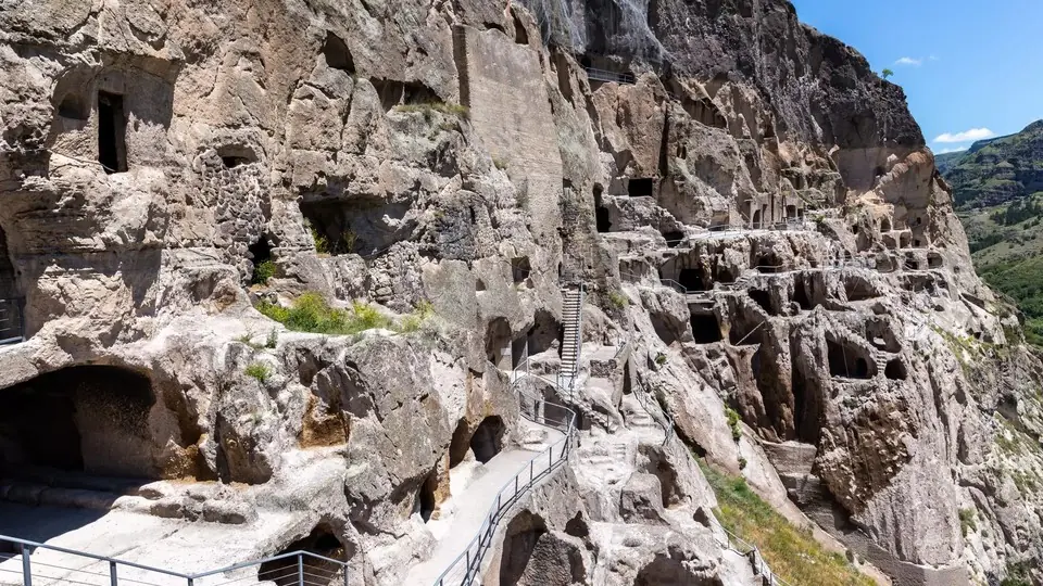
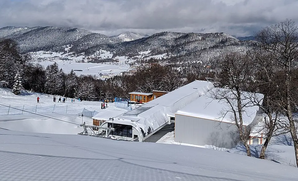 Photo: ZeevoX, CC BY-SA 4.0
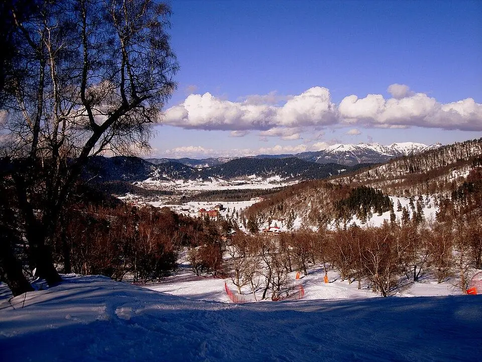
Bakuriani area by area: Didveli, Kokhta, Mitarbi and the private slopes, lift passes, season and crowds, the road and the returning Kukushka train from Borjomi, where to stay and how families get the most from it.
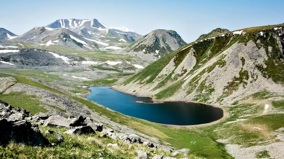
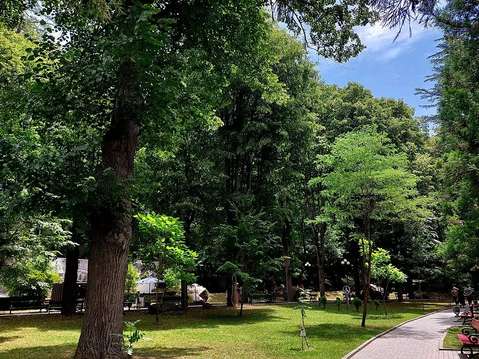 Photo: Kober, CC0
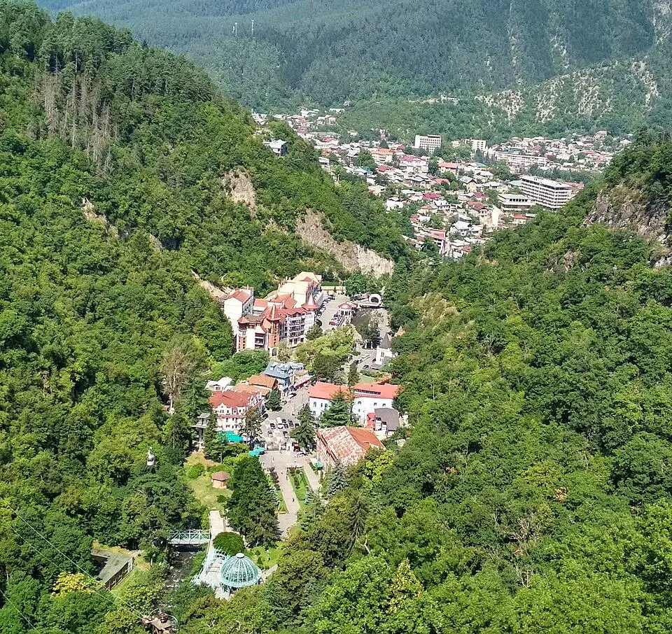
The spring park, the forest walk to the sulphur pools, the cable car, Likani's closed palace, national park trails, the Kukushka in 2026 and the road on to Vardzia, with prices and transport.
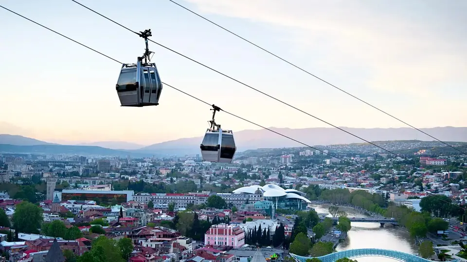
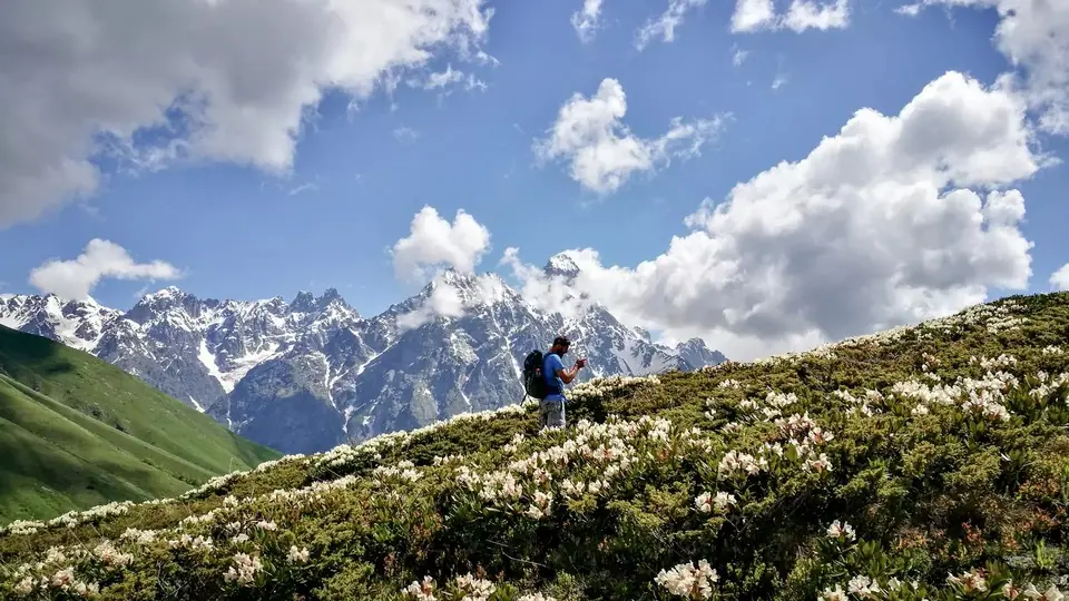 Photo: georgia.travel
Where to walk in Georgia's mountains and forests, when the passes open, how hard each trail is, what permits you need and how to stay safe, with tables of top walks and treks.