Kazbegi National Park
Kazbegi National Park guards ~78,000 hectares of high Caucasus around Stepantsminda, from Truso to the Khde valley, with free entry and marked trails.
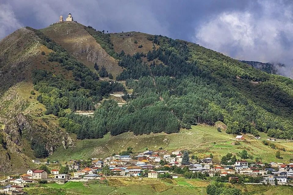
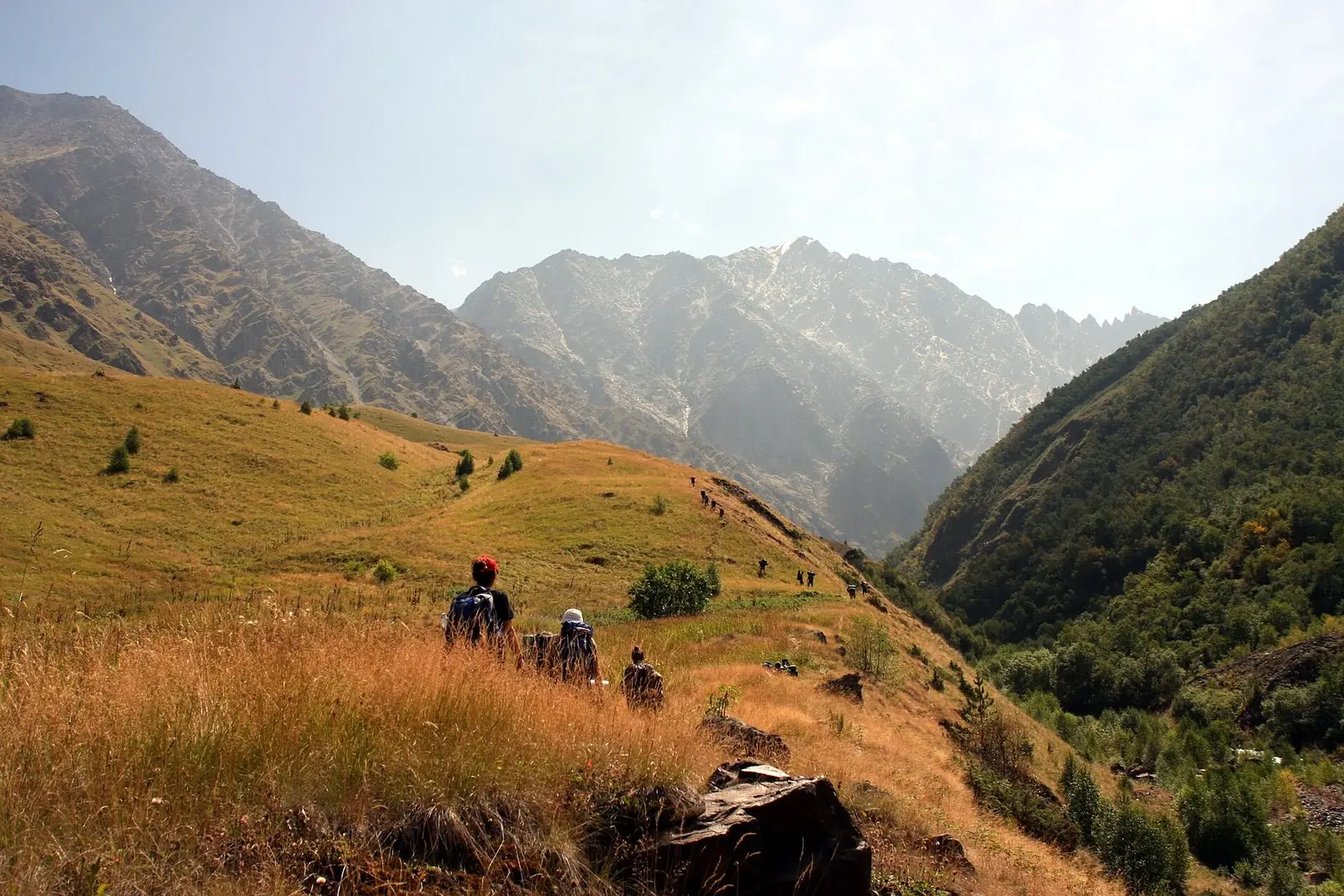 Kazbegi National ParkPhoto: Avtandil Gurasashvili, CC BY-SA 4.0
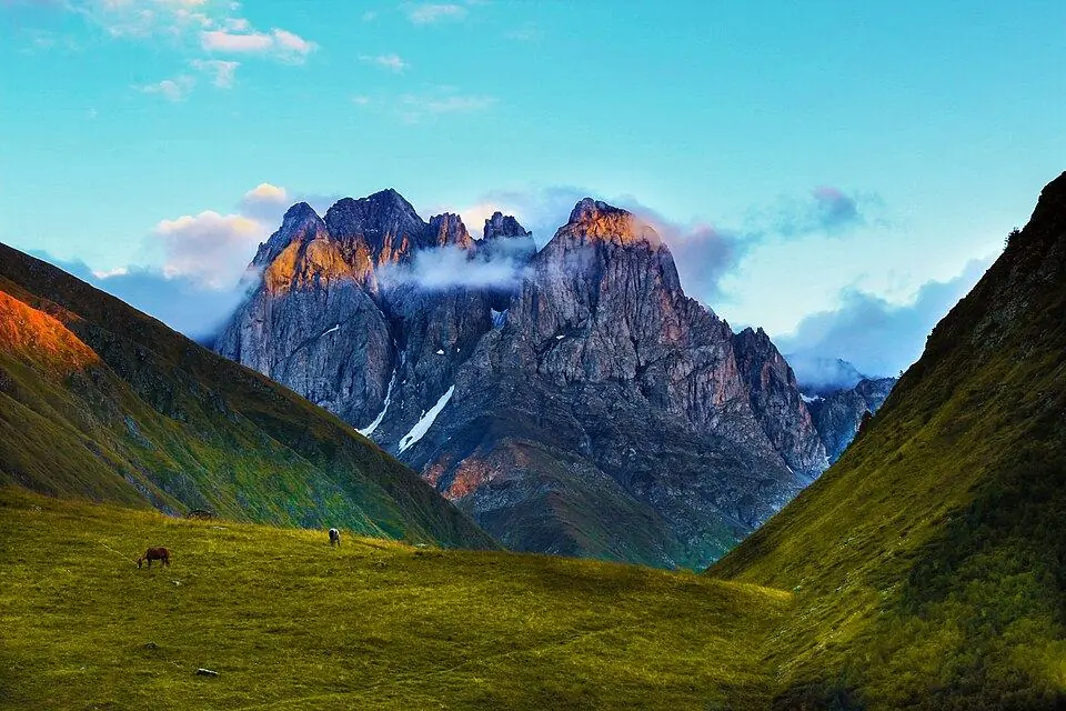
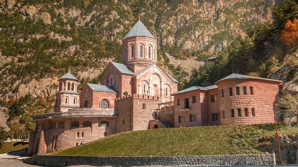
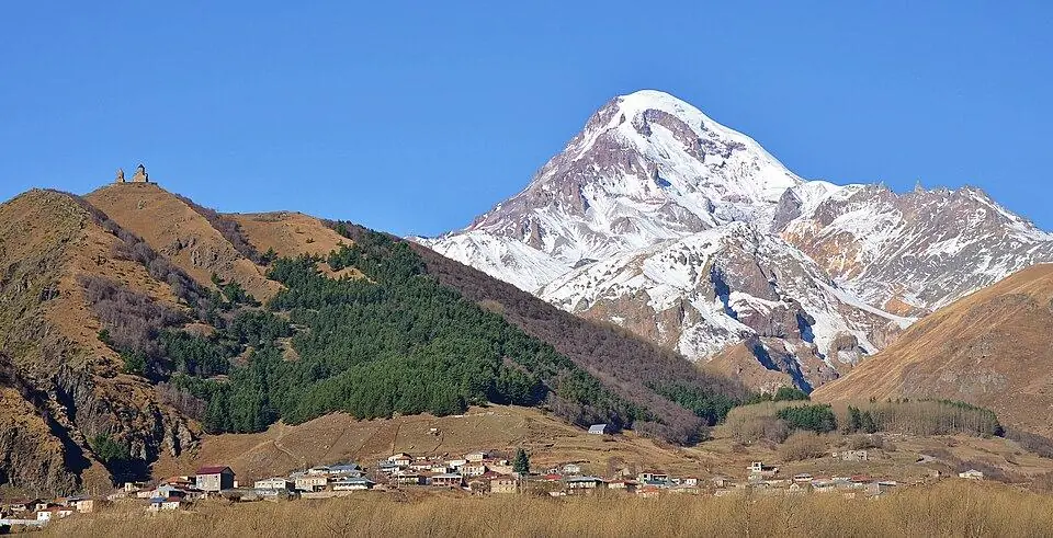
Kazbegi National Park protects the high country of Khevi around Stepantsminda, on the northern slopes of the Greater Caucasus in the upper basin of the Tergi (Terek) River. Since late 2018 it has been roughly nine times its old size: 78,204 ha in several separate blocks, taking in the slopes and glaciers of Mount Kazbek, the Truso valley, the Juta valley below the Chaukhi massif, the Dariali gorge and the remote Khde valley on the Russian border. Its lowest ground lies at ~1,400 m. Forest covers only about 35 percent; the rest is alpine meadow, moraine, bare rock and permanent snow.
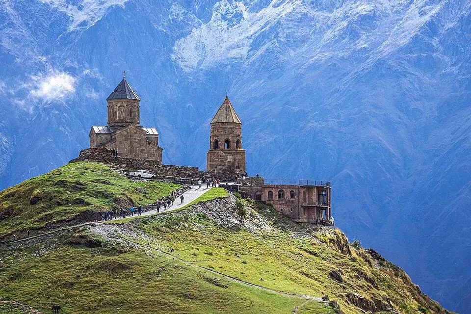
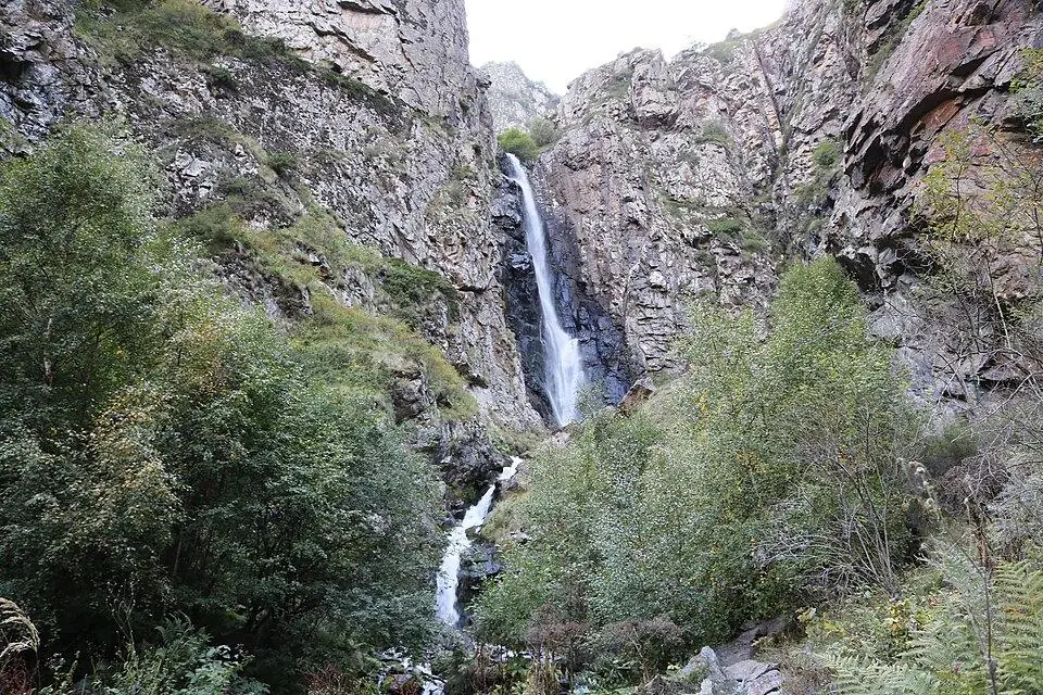
There is no gate or ticket office, so most visitors simply walk into the park on a day hike from Stepantsminda. Favourite outings are the walk up to Gergeti Trinity Church and on to the glacier under Kazbek, the meadow walk below the Chaukhi peaks at Juta, the travertines and mineral springs of Truso, and the short path to Gveleti Waterfall. Call at the visitor centre, a few steps from the main square, for trail information and current conditions. Climbers come for Mount Kazbek (5,054 m) and the peaks over 4,000 m around the Khde valley, both inside the border zone.
History
The park grew out of the Kazbegi State Nature Reserve, created by a decree of the Soviet Georgian government on 6 February 1976 to protect the landscape, plants and animals of the upper Tergi valley. Georgia's 2007 law on the status of protected areas turned the reserve into a national park of 8,707 ha. A law of December 2018 enlarged it to 78,204 ha. Today it is run together with three natural monuments as the Kazbegi Protected Areas: Sakhiznari Cliff near Sioni, the bubbling Abano mineral lake and the Truso travertines. A visitor centre paid for by the German government through KfW opened in Stepantsminda in 2018.
What to see and do
- Long day hike over the Sabertse Pass to look down on the Gergeti Glacier (~3,200 m)
- Travertine terraces and the gas-bubbling Abano mineral lake in the Truso valley
- Meadows, small lakes and the jagged Chaukhi massif above Juta
- The quiet Khde valley under the Shavana ridge, with a border-zone permit
- Caucasian rhododendron flowering on the upper slopes in early summer
- Scanning the cliffs for tur and chamois, and the sky for bearded vultures
How to visit
Getting there
Stepantsminda, home of the visitor centre, is a drive of around 3 hours (~155 km) from Tbilisi by the Georgian Military Road, and marshrutkas leave from Didube station. Taxis and 4x4s from town reach the Gveleti trailhead in roughly 15 minutes and Juta or the Truso valley in 30 to 45 minutes.
When to go
Late June–September for hiking; winter for snowshoe walks near town. Plan 1 day per valley; 2–4 days for several here.
- Before a long or solo hike, tell the visitor centre or your guesthouse your route. The park asks walkers to contact its administration first, and staff can warn you about late snow or washed-out paths.
- Camp at established sites and light fires only at marked fire spots. Picking plants, taking stones and bringing pets all break the park rules.
- Keep your passport on you: the park's northern edge is the Russian border, and police check papers at Dariali and in Truso.
- Ask the visitor centre before flying a drone, and never fly near the Dariali checkpoint or a border police post.
Weather at Kazbegi National Park
Based on the climate of Kazbegi (Stepantsminda), 0 km away. Warmest in August (22° by day), coldest in January (−8° at night), with 785 mm of rain a year. Best months: Jul–Aug.
Kazbegi (Stepantsminda) weather by month and 7-day forecast →
Kazbegi National Park: FAQ
Is there an entrance fee for Kazbegi National Park?
No. Kazbegi National Park had no ticket, gate or entry fee in 2026, so you pay only for any taxi, guide or horse you hire.
Which parts of the park need a permit?
Ordinary day hikes such as Gergeti, Juta, Gveleti or Truso as far as Zakagori fortress need none; just carry your passport. Mount Kazbek, the Khde valley, the head of the Devdoraki valley, the Dariali checkpoint area and Truso beyond Zakagori lie in the border zone and need a Border Police permit, applied for online before you go.
When is the best time to visit?
Late June to September, when most high trails are clear of snow and the meadows are in flower. Snow lingers above ~2,500 m into June and returns in October, and in winter snowstorms sometimes shut the Jvari Pass road for a day or two.
What wildlife lives in the park?
East Caucasian tur and chamois live on the cliffs, and brown bears, wolves and lynx in the forests, though they keep out of sight. Golden eagles and griffon and bearded vultures can be seen overhead, and botanists have recorded 1,347 plant species, about a quarter of them endemic.
Read more in our guides
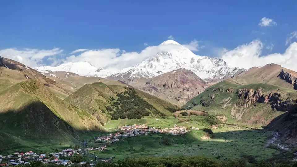 Photo: georgia.travel
Everything for a trip to Stepantsminda: the drive up from Tbilisi, the climb to Gergeti, day walks in Juta and Truso, beds, food and winter road advice.
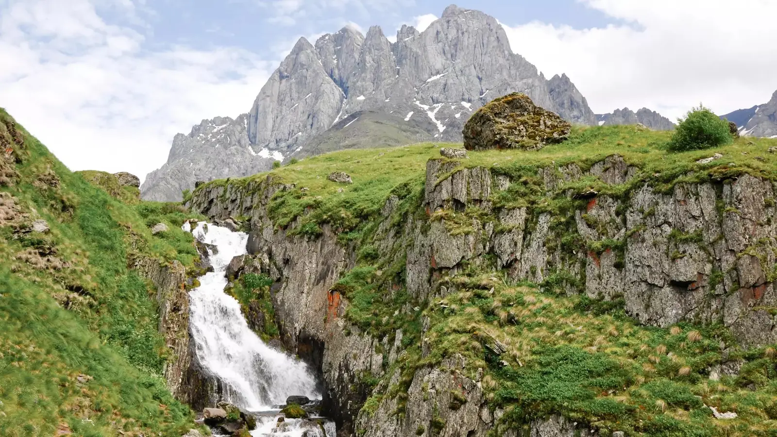 Photo: georgia.travel
Ten day hikes from Stepantsminda, from a flat riverside stroll to the Chaukhi pass, with distance, climb, best months, 4x4 access, snow and road dates, safety and plans for 1 to 3 days.
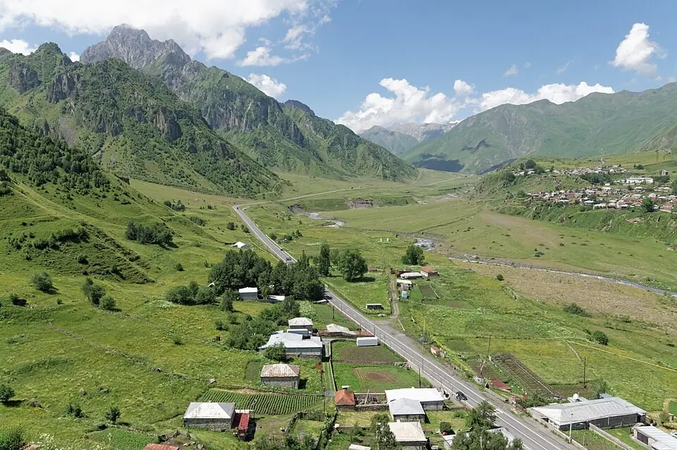 Photo: Vyacheslav Argenberg, CC BY 4.0
A practical walkthrough of the four ways up the Georgian Military Road to Stepantsminda, with the winter tyre law, how to check whether the Jvari Pass is open and how to get back.
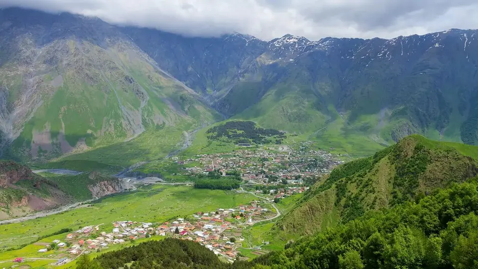 Photo: georgia.travel
Five bases around Mount Kazbek side by side: the town, the Gergeti side, the roadside villages, Sno and Juta, and Gudauri for skiers. Room prices for 2026, winter tips and what to eat.
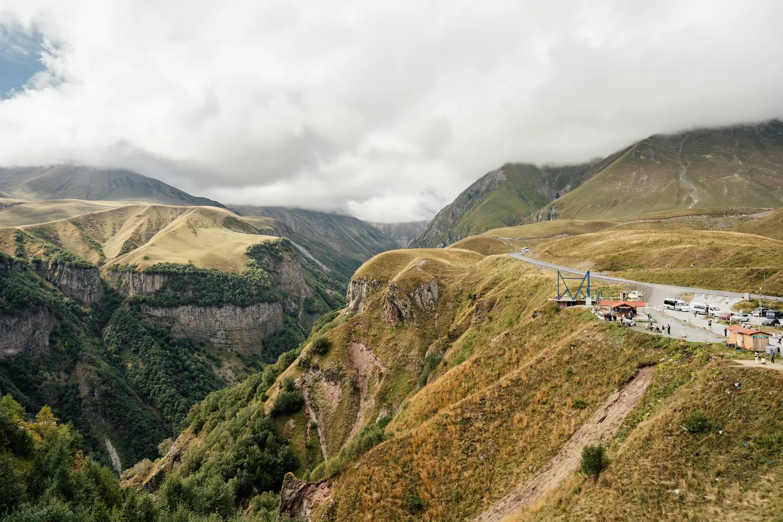 Photo: Josip Ivanković, Unsplash
Every worthwhile stop between Tbilisi and the Dariali Gorge in order, with kilometres, drive times and suggested visit lengths, plus the story of the road and what winter does to it.
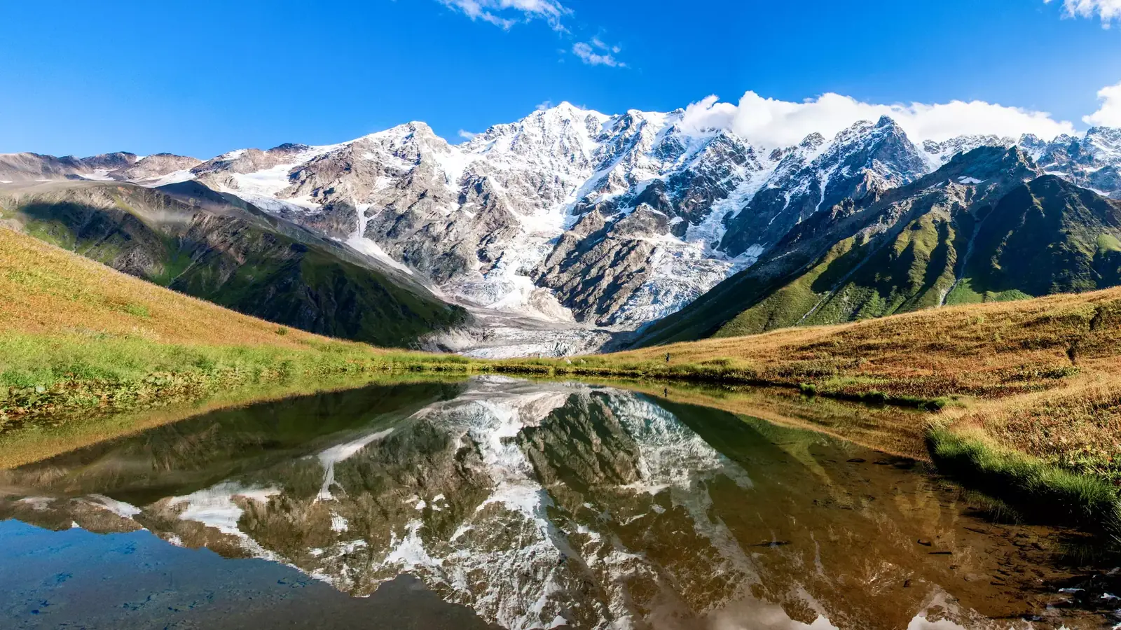 Photo: georgia.travel
Our hub for Georgian nature: the main landscape zones from the glaciers of the Greater Caucasus to the Colchic rainforest and the Vashlovani semi-desert, with climate, wildlife, the Batumi raptor migration, protected areas and a season-by-season table.
Nearby places
Straight-line distance from Kazbegi National Park.