- Georgia covers about 69,700 km², yet its land climbs from the Black Sea shore to 5,193 m on Shkhara, and roughly two thirds of it is mountains.
- The main zones are the glaciers of the Greater Caucasus, the forests and volcanic lakes of the Lesser Caucasus, the Colchic rainforests by the sea, and the semi-desert of the far east.
- Trees cover about 40% of the country, and the Caucasus is a global biodiversity hotspot: about a quarter of its ~6,500 plant species grow nowhere else (CEPF).
- About 13% of the land lies in 100 protected areas (2024), and the Colchic rainforests have been a UNESCO World Heritage site since 2021.
- Go high between July and mid-September. Spring and autumn suit the low forests, bogs and steppe, and the Batumi raptor migration peaks from late August to early October.
The nature of Georgia changes faster than almost anywhere else in Europe or western Asia. The country covers about 69,700 km², a little less than Ireland. Yet you can stand by a glacier under 5,000 m peaks one morning and walk through humid rainforest near the Black Sea the next day. In the south-east the green gives way to dry steppe, striped clay hills and wild pistachio woods on the Azerbaijani border. Most of it lies within a day's drive of Tbilisi.
This page is our hub for Georgian nature. It covers the main landscape zones, with where and when to see each, then climate, plants, wildlife, protected areas, a table of landscapes by season and a few rules for travelling lightly. For the detail, follow our lists of national parks, mountain lakes, canyons, waterfalls, caves and UNESCO sites, and our guide to the Caucasus Mountains.
Nature of Georgia at a glance: size, relief and the great divide
Georgia lies between the Black Sea and the Caspian, on the south side of the Greater Caucasus. Geostat, the national statistics office, describes about two thirds of it as mountains. That steep relief stacks many natural zones into short distances, so Georgia's landscape can change three times in one day's drive.
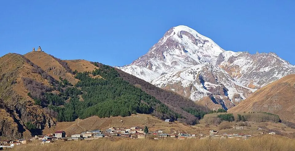
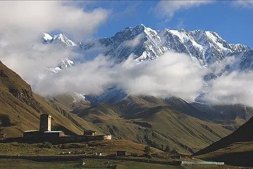
Two ranges frame the country. The Greater Caucasus forms the northern wall. Its peaks include Shkhara (5,193 m), the highest point in Georgia, and Kazbek (5,054 m), the one most visitors see. In the south stands the gentler Lesser Caucasus, and the lowlands where most Georgians live lie in between.
In the middle, a modest north-south ridge called the Likhi range splits those lowlands. West of it, wet sea air soaks the Colchis plain, and the rivers flow to the Black Sea. East of it the land is drier and sunnier, and the Mtkvari (Kura) carries the water to the Caspian. That one ridge explains why the west is green and damp while Kakheti grows its wine under clear skies.
Height does the rest. In the west, Geostat notes, forest climbs from the shore to about 1,900 m, with meadows, scree and ice above. In the east the ladder starts with semi-desert below ~600 m. So the landscapes of Georgia fall into a handful of big zones, set out below.
| Georgia's nature in numbers | Figure |
|---|---|
| Area | 69,700 km², including the occupied territories |
| Highest point | Shkhara (5,193 m), on the main ridge above Ushguli |
| Lowest point | The Black Sea shore, 0 m |
| Black Sea coastline | 309 km (Geostat), the northern part in occupied Abkhazia |
| Rivers | 26,060, most of them shorter than 25 km |
| Lakes | About 860, together under 170 km² |
| Glaciers | 725, covering ~370 km², all in the Greater Caucasus |
| Forest | About 40% of the land under trees in 2024 |
| Rain and snow | From ~400 mm a year in the dry east to ~4,500 mm on the wettest western slopes |
| Protected areas | 100 areas over ~13% of the territory in 2024 |
The Greater Caucasus: glaciers, alpine meadows and high valleys
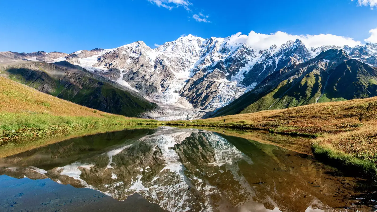
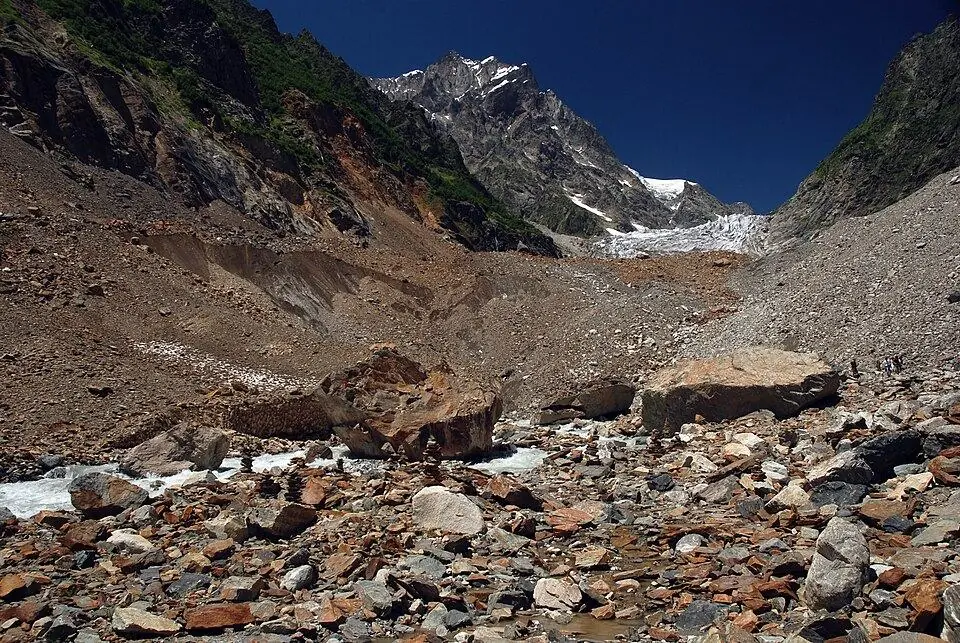
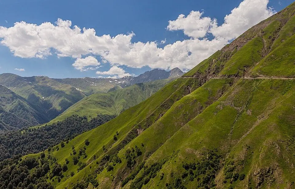
The grandest Georgian scenery runs along the main Caucasus ridge in the north. Geostat counts 725 glaciers there, about 370 km² of ice in all. Like ice all over the range, they are shrinking. Below the ice come moraines, then flower meadows from about 2,000 m, then birch, pine and beech in the valleys.
Where to see it
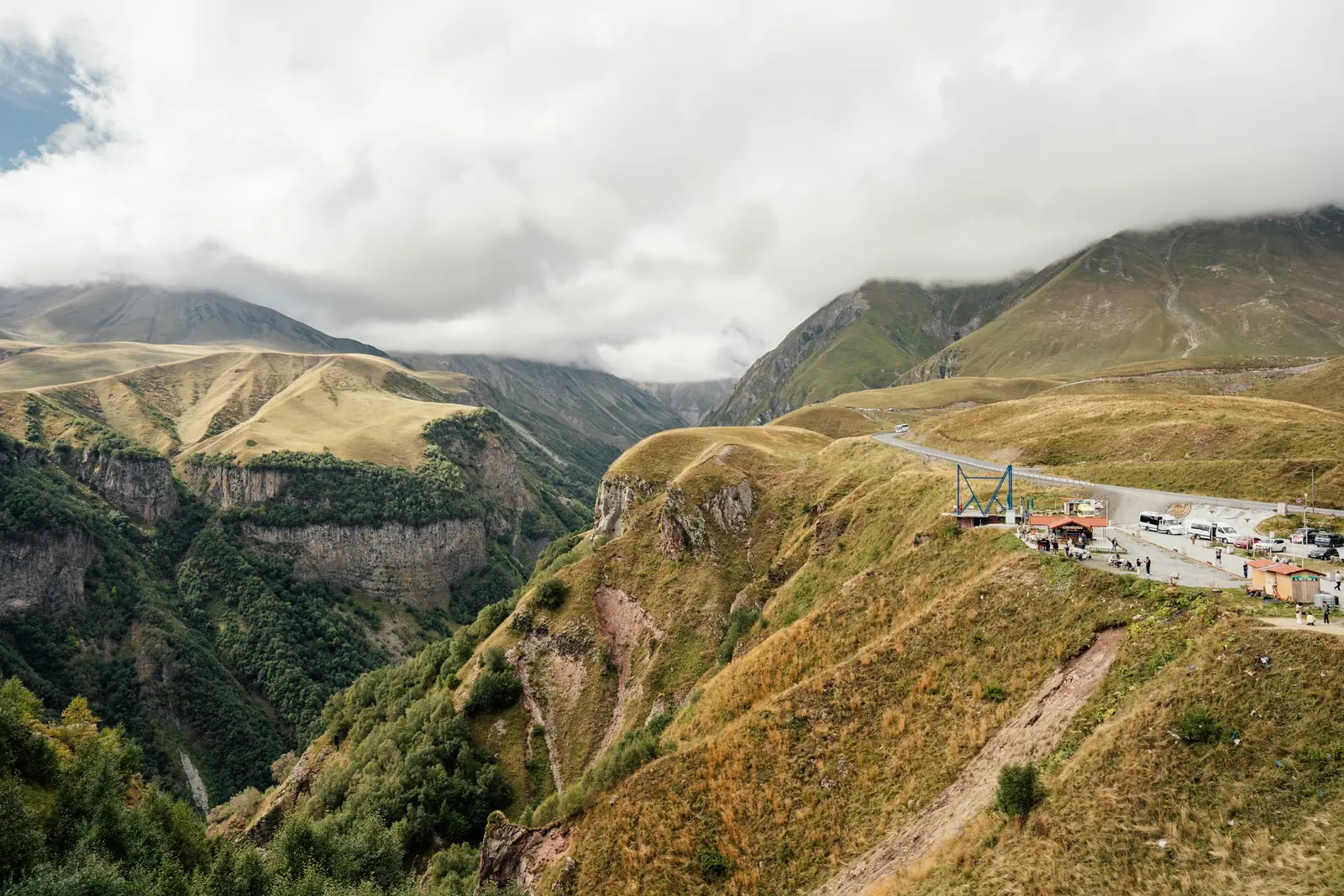
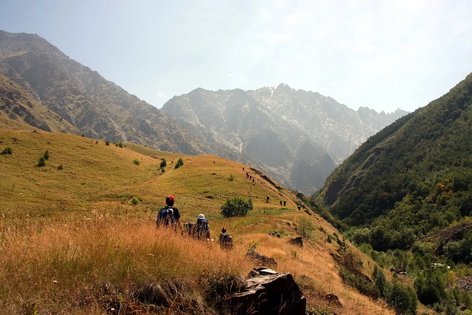
- Kazbegi: the easiest high country to reach, three hours north of Tbilisi. A full-day hike from Gergeti Trinity Church ends at ~3,200 m, looking down on the ice below Kazbek.
- Svaneti: the biggest glaciers. Near Mestia, a gentle forest walk reaches the grey tongue of Chalaadi. From Ushguli, a day hike follows the upper Enguri towards the Shkhara Glacier.
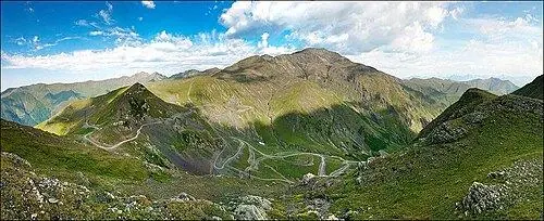
- Tusheti: pine gorges, summer pastures and slate-roofed tower villages. The only way in is a 4x4 track that tops out near 2,950 m at Abano and is usually passable June to October.
- Racha: quiet beech forest, high meadows and Udziro Lake at ~2,800 m, with very few other walkers.
Best season: July to mid-September for glaciers and passes. June brings the most flowers in the valleys, and late September the first gold. For peaks and passes in depth, read our guide to the Caucasus Mountains, and for routes and grades, our hub on hiking in Georgia.
Our Kazbegi Hiking Week uses a single Stepantsminda hotel as its base and explores a new valley each day: the glacier viewpoint, Truso, Juta and more. You pick the dates, and only your own group comes along.
The Lesser Caucasus: Borjomi's forests and the Javakheti volcanic plateau
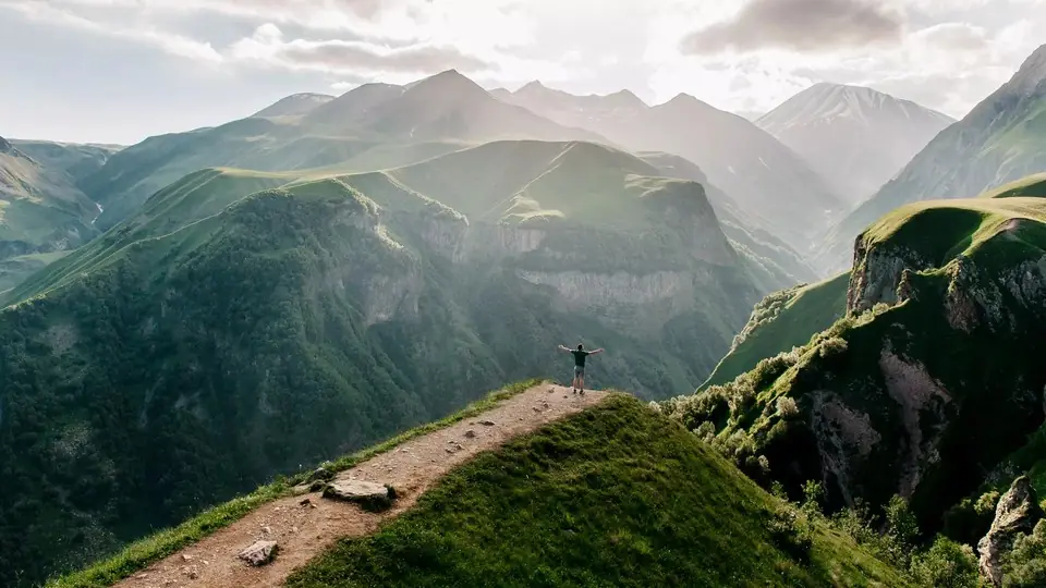
The Lesser Caucasus rises south of the central lowlands. Its ranges are lower and rounder than the main chain, with no glaciers, and their northern slopes hold some of the densest forest in the country. Borjomi-Kharagauli National Park, set up in 1995, protects beech, fir and spruce above the spa town of Borjomi. Bakuriani, higher up, is a cool summer base and a ski resort in winter.
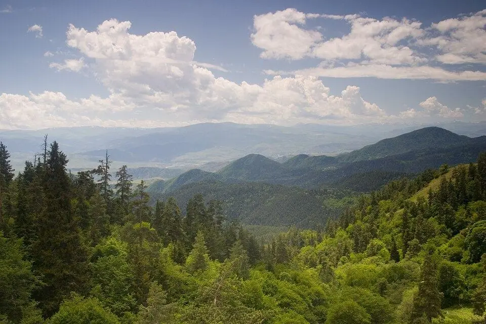
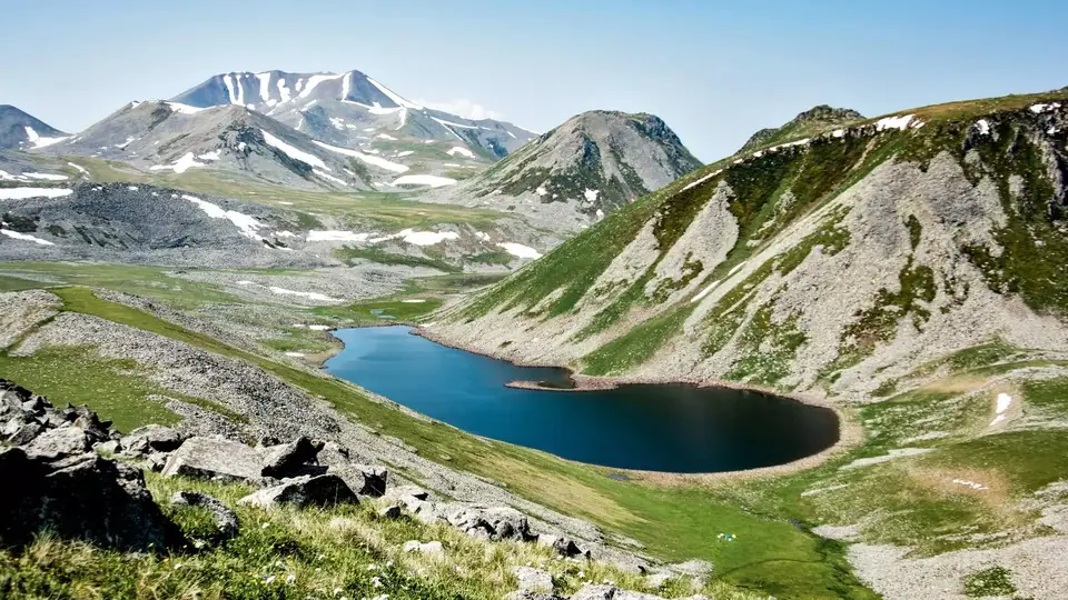
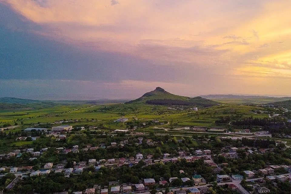
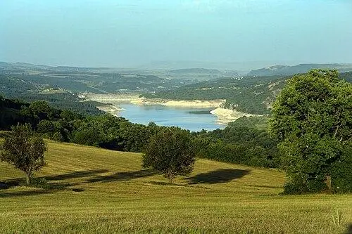
Further south the trees stop and the Javakheti plateau opens out at around 2,000 m. Old lava flows have left a wide, bare land of grass, shallow lakes and dead volcanic cones. Didi Abuli, at ~3,300 m, is the top of southern Georgia. Paravani is the largest lake in the country by area, and Tabatskuri holds the most water. In spring and autumn the lakes near Ninotsminda fill with cranes, pelicans and ducks.
Best season: June to October for the Borjomi trails, with autumn colour in the second half of October. Javakheti is best from June to September, as its winters are long and bitter. Birds crowd the lakes in April, May and September.
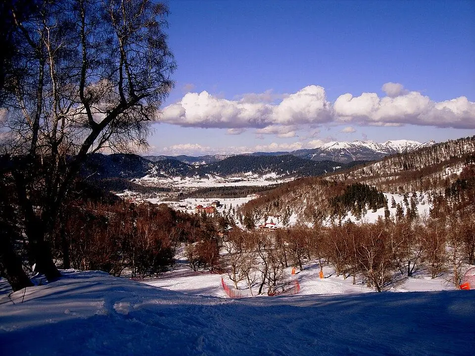
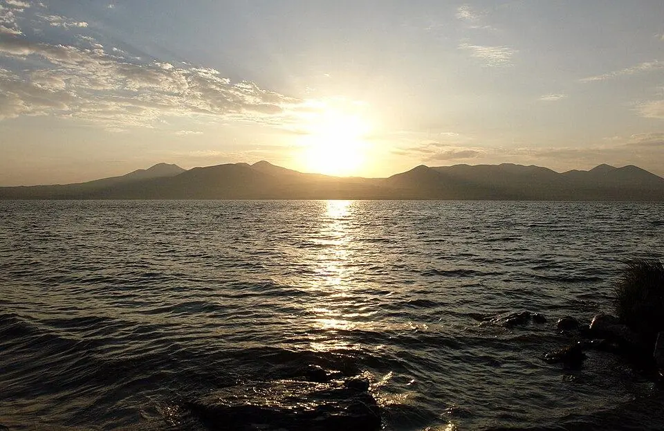
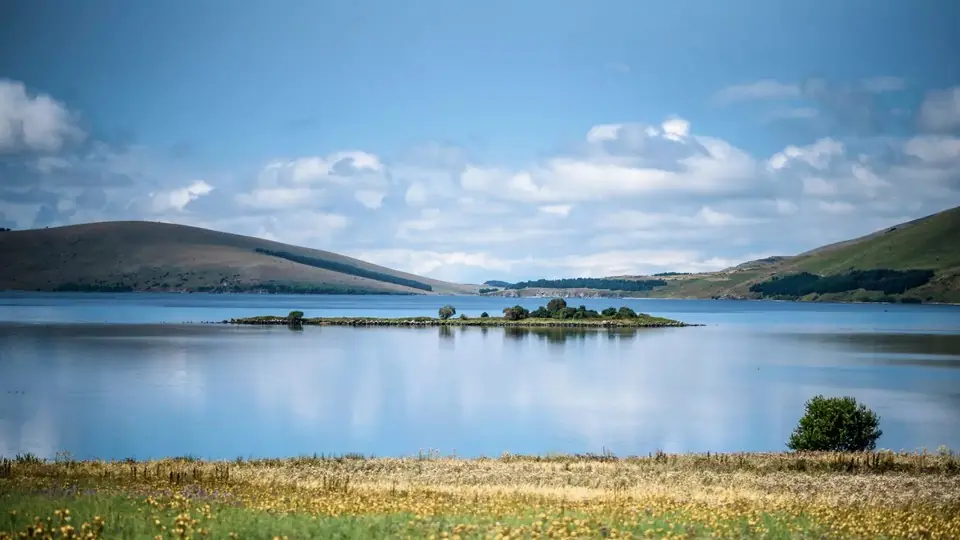
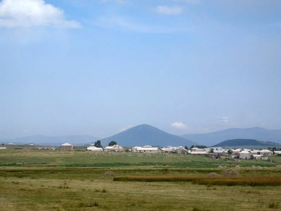
To cross the plateau on foot, join our Javakheti Volcanic Lakes Trek. It spends five days between Paravani and Tabatskuri over the Abul-Samsari ridge, with pack horses, tents and a camp cook.
Colchis: rainforests, wetlands and the subtropical Black Sea coast
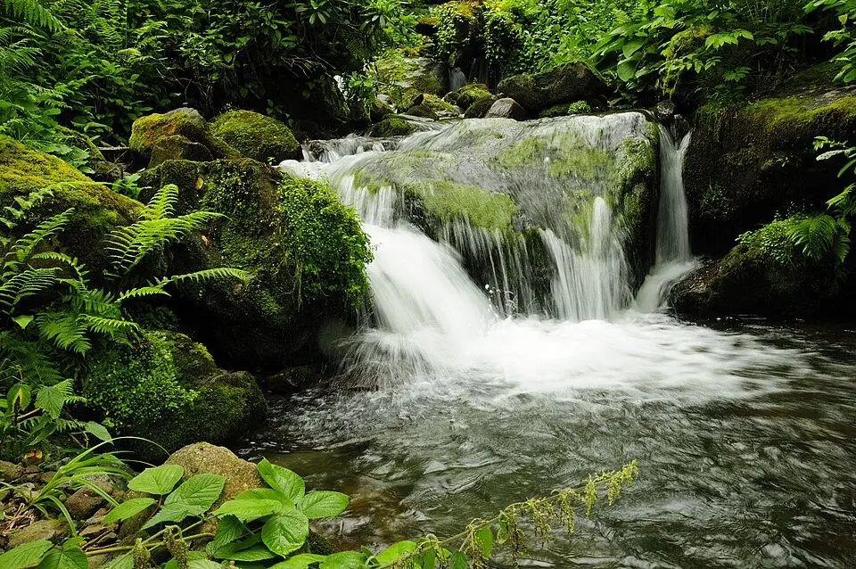
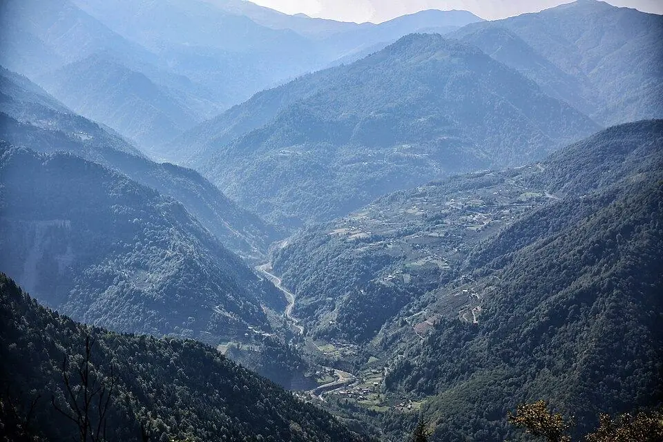
Western Georgia feels like another country. Wet air off the Black Sea hits the hills of Adjara and Guria and drops its rain. Geostat gives more than 2,500 mm a year for the south of the Colchis lowland, and the slopes behind Batumi get far more. The result is a temperate rainforest of chestnut, beech and alder, with evergreen rhododendron, cherry laurel and boxwood below.
These forests came through the ice ages in this sheltered corner, so plants that vanished elsewhere in western Eurasia still grow here, such as the Pontine oak and the Colchic ivy. In July 2021 the Colchic Rainforests and Wetlands joined the UNESCO World Heritage list, the first Georgian site listed for its nature. Its seven parts cover about 31,250 ha, from the bogs near Poti to the hills of Mtirala and Kintrishi.
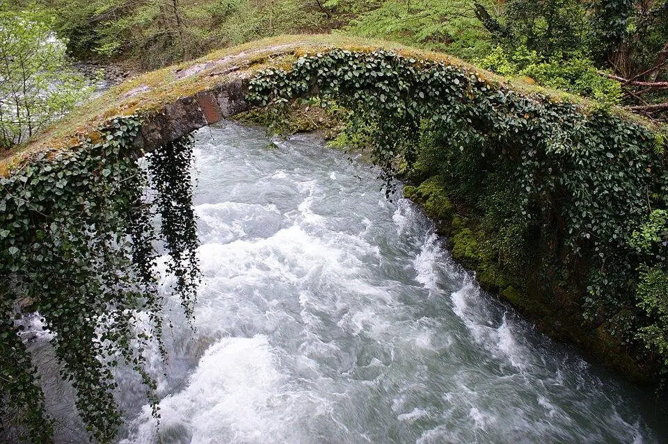
The coastal plain is a maze of peat bogs, reed beds and slow, dark rivers. Kolkheti National Park around Poti is the easiest way in, by boat across Paliastomi Lake. Inland, Mtirala and Kintrishi have short trails through dripping forest, and Machakhela adds old stone bridges on the Turkish border.
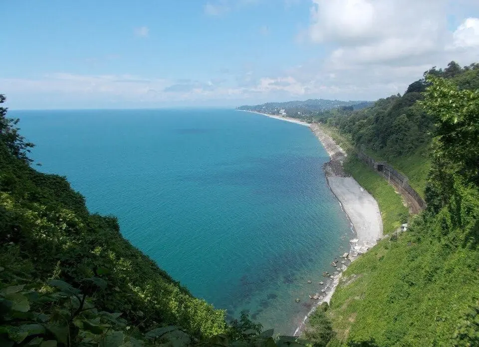
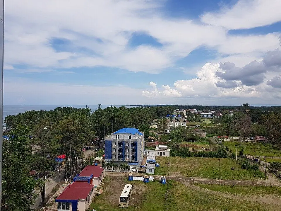
Then there is the sea. The Georgian shoreline measures 309 km, and its northern stretch lies in occupied Abkhazia. Around Batumi, steep green hills drop to pebble beaches, with tea and citrus on the slopes. North of Kobuleti, Ureki and Shekvetili have dark sand rich in magnetite. Bathing season lasts from June into September.
Best season: May to October for the forest trails, April to June and September to October for the wetland birds. Rain can fall in any month.
Eastern Georgia: the Alazani valley, steppe and semi-desert
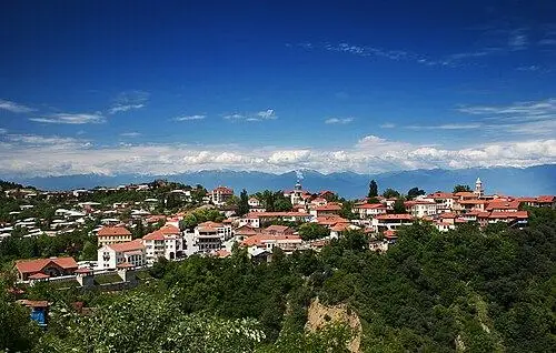
East of Tbilisi the country dries out. The Alazani valley in Kakheti is a broad plain of vineyards, and the forested wall of the Greater Caucasus rises straight above it. At its eastern end, Lagodekhi climbs from lowland beech forest to alpine lakes on the border with Dagestan. Founded in 1912, it is the oldest nature reserve in Georgia.
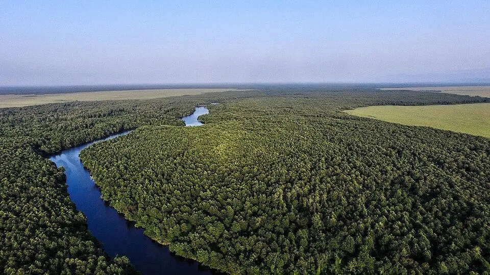
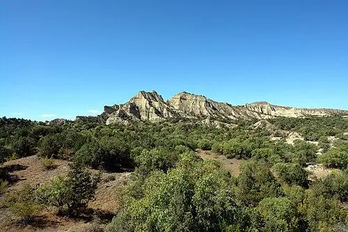
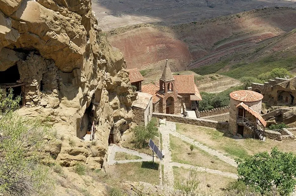
South of the valley the scene changes completely. Past the wheat fields of the Shiraki plain, Vashlovani National Park guards eroded clay badlands, canyons and open woods of wild pistachio. Mud volcanoes bubble at Takhti-Tepa, and a ribbon of thick riverside forest lines the Alazani on the Azerbaijani border. Further west, the hills around David Gareja are treeless and striped pink, ochre and grey.
Best season: April to June and September to November. Spring scatters wildflowers over the steppe, and the vineyards turn gold in late October and November. Summer is very hot on the plains, and Vashlovani's tracks need a 4x4.
Climate, rivers and lakes in brief
Georgia sits where the warm subtropics meet the cooler north. The Caucasus shields it from the coldest Russian air, and the Black Sea softens the west. Yearly rain ranges from ~400 mm in the driest east to ~4,500 mm in the wettest west. The result is three broad climates, plus the cold Javakheti plateau:
- Black Sea coast: mild winters, warm and humid summers, rain in every season.
- Eastern lowlands, including Tbilisi and Kakheti: hot, dry summers and cold, fairly dry winters.
- High mountains: snow above ~2,000 m from about November to May, and storms on many summer afternoons.
For forecasts and monthly averages by town, open our Georgia weather pages. To match a season to your plans, read our month-by-month guide on the best time to visit.
Rivers and lakes
Geostat counts 26,060 rivers, most of them short mountain streams. Western rivers such as the Rioni and the Enguri run to the Black Sea, and the Rioni carries more water than any other. In the east nearly everything drains into the Mtkvari, which flows on through Azerbaijan to the Caspian.
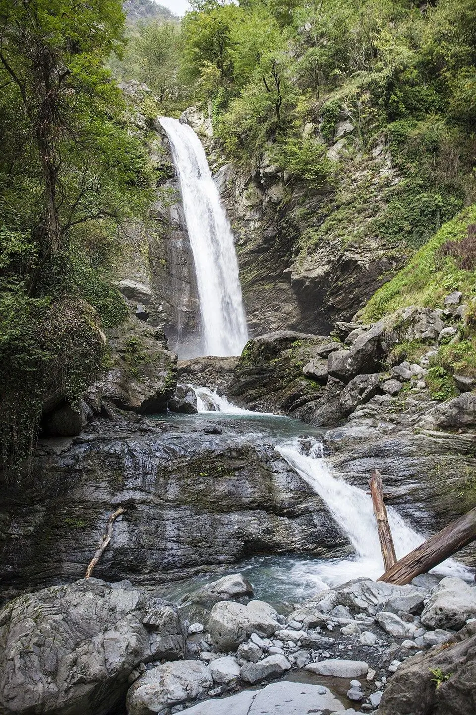
Lakes are many but small: about 860, most of them glacial tarns high in the Caucasus. The large ones are volcanic, on the Javakheti plateau. Our list of mountain lakes and lowland lakes has the details, and our waterfalls list covers the falls that run fullest with snowmelt each spring.
Forests, plants and the Caucasus biodiversity hotspot
Trees cover about 40% of Georgia: Geostat gives 40.6% for 2024, some 2.8 million ha. Oriental beech fills much of the mountain forest, with fir and spruce in the west and oak and hornbeam on the lower slopes.
The wider region ranks among the world's biodiversity hotspots. The Critical Ecosystem Partnership Fund (CEPF) counts some 6,500 vascular plant species in the Caucasus, and about a quarter of them grow nowhere else. Georgia alone has up to 5,000 species of flowering and cone-bearing plants, says Geostat.
Many are easy to see. In June and July the alpine meadows of Kazbegi and Javakheti fill with flowers. Poppies dot the eastern steppe in spring, and the Colchic rhododendrons bloom in May and June. From late September the forests turn gold, starting at the treeline and moving downhill; our guide to autumn colours follows the dates.
Wildlife in Georgia: tur, bears, rare leopards and the Batumi raptor migration
Geostat's species lists hold roughly 100 mammals, over 330 birds, about 48 reptiles, 11 amphibians and some 160 fish. In the high mountains look for the Caucasian tur, a wild goat found only in the Greater Caucasus, and the chamois. Brown bears, wolves, lynx, red deer and wild boar live in the larger forests, from Lagodekhi to Borjomi-Kharagauli and Tusheti.
The rarest is the Caucasian leopard. A camera trap caught one in Vashlovani in 2004. In August 2021 another camera trap photographed a leopard in the Tusheti protected areas, in a survey run by NACRES with WWF Caucasus. These are rare records of a tiny population, not something any visitor should expect to see.
Big mammals are shy, so expect tracks and droppings rather than animals, unless you go out at dawn with a guide and binoculars. Birds are easier: lammergeiers and griffon vultures over Kazbegi and Tusheti, eagles in Vashlovani, and waterbirds on the Kolkheti and Javakheti lakes.
The Batumi raptor migration
Each autumn the mountains and the sea squeeze migrating birds of prey into a narrow corridor above Batumi. The Batumi Raptor Count has tallied them from hilltop stations above Sakhalvasho and Shuamta since 2008. Its season totals topped 1.38 million raptors in 2025 and came to about 1.28 million in 2026.
Honey buzzards dominate the first half of September. Steppe buzzards, black kites and eagles take over later. In 2026 the counters logged about 558,000 honey buzzards and some 400,000 black kites. Come between late August and early October, with September the busiest month.
Our Birdwatching in Georgia tour pairs the Kazbegi slopes and the Vashlovani semi-desert with a day at the Sakhalvasho station, led by a specialist bird guide.
Protected areas: who runs them and the rules for visitors
Much of the finest nature in Georgia is protected. The Agency of Protected Areas (APA), under the environment ministry, ran 100 protected areas in 2024. Together they covered 927,748 ha, about 13% of the country. They come in several types:
- 14 strict nature reserves, kept mainly for wildlife and science, where visits are limited
- 15 national parks, with visitor centres, marked trails, shelters and campsites
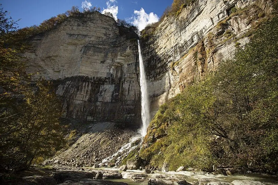
- 40 natural monuments, such as caves, canyons and waterfalls, many with ticketed visitor routes
- 25 managed reserves, 5 protected landscapes and 1 multiple-use area
Entry to most national parks is free. Vashlovani is the main exception, charging foreign visitors about 10 GEL (about $4) in 2026. Shelters, campsites, boat trips and horses cost extra, and the show caves and canyons sell their own tickets. Before a long hike, sign in at the park visitor centre and carry your passport. Trails near the borders, such as the Black Rock Lake trek in Lagodekhi, need a border permit arranged in advance.
Our lists compare the sites one by one, with access, best months and 2026 fees: national parks, canyons, caves, waterfalls and UNESCO World Heritage sites.
Georgian landscapes by season: what to see, where and when
Georgia's landscapes peak at different times, so use this table to match a scene to your dates. Drive times are from Tbilisi without stops, unless stated.
| Landscape | Where | Best months | How to get there |
|---|---|---|---|
| Glaciers and high passes | Kazbegi, Svaneti, Tusheti | July to mid-September | Kazbegi ~3 h by road; Mestia a long day by road or ~1 h by small plane; Tusheti by 4x4 over the Abano Pass |
| Alpine flower meadows | Kazbegi, Juta, Javakheti | June and July | Juta is a short 4x4 ride from Stepantsminda; Javakheti ~3 to 4 h via Tsalka |
| Colchic rainforest | Mtirala, Kintrishi, Machakhela | May to October | ~1 h by road from Batumi |
| Coastal wetlands | Kolkheti National Park, Paliastomi Lake | April to June, September and October | On the edge of Poti, ~70 km north of Batumi |
| Subtropical beaches | Batumi, Kvariati, Ureki | June to September | Train ~4 h to Batumi, or fly to Batumi or Kutaisi |
| Raptor migration | Sakhalvasho hills above Batumi | Late August to early October | A short drive from Batumi |
| Volcanic plateau and lakes | Paravani, Tabatskuri, the Ninotsminda lakes | June to September; birds in April, May and September | ~3 to 4 h by road; Tabatskuri by 4x4 from Bakuriani |
| Mountain forest | Borjomi-Kharagauli, Algeti, Lagodekhi | May to October; colour mid-October to early November | Borjomi 2.5 to 3 h; Algeti ~1 h; Lagodekhi under 3 h |
| Wine valley under the Caucasus | Alazani valley, Kakheti | April to June, September to November | Sighnaghi ~2 h; Telavi 2 to 2.5 h |
| Semi-desert and badlands | Vashlovani, David Gareja | April and May, October and November | ~2 h to Dedoplistskaro, then 4x4 tracks; David Gareja ~2 h |
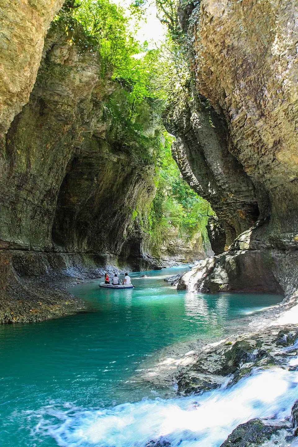
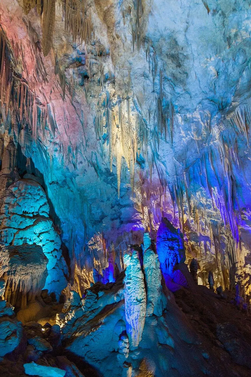
| Limestone canyons and caves | Martvili, Okatse, Prometheus near Kutaisi | April to June, September and October; caves all year | Kutaisi ~3 h, then up to ~1 h to each site |
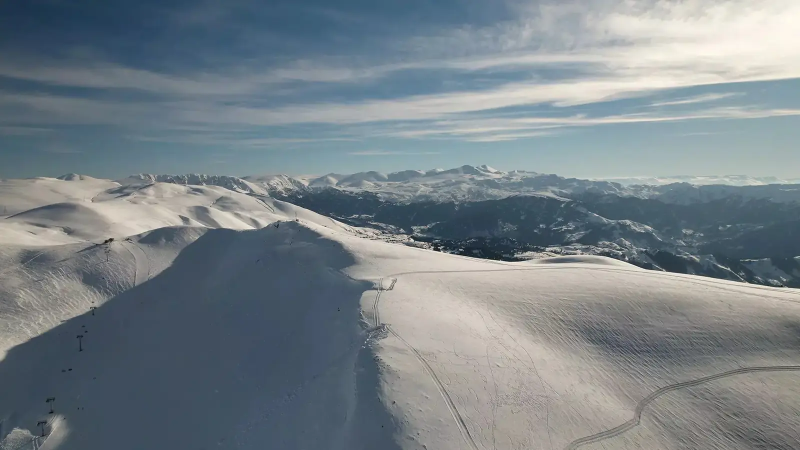
| Snowy mountains | Gudauri, Kazbegi, Bakuriani, Svaneti | Late December to March | Gudauri ~2 h; check road status after snowfall |
The shoulder months are the trickiest. In June snow can still block the high passes, and in October the Abano road to Tusheti usually closes for winter. Check the road status the day before you set off.
Travelling responsibly in Georgian nature
Georgia's wild places get busier every year, and many trails have no bins and few rangers. A few habits help.
- Leave no trace: carry out all rubbish, fruit peel and tissues included, and use the toilets in villages and visitor centres.
- Stay on the path, above all on meadows, clay badlands and bogs, which scar easily and heal slowly.
- Camp only at marked sites inside parks. Outside them wild camping is generally allowed, but ask before you pitch on village land.
- Fire: grass and forest dry out from July to September, most of all in the east. Light fires only in existing fireplaces, never in wind, and drown the embers before you leave.
- Give wildlife and flocks space. Big sheepdogs guard the summer pastures, so stand still until the shepherd calls them back.
- Travel insurance is a legal must for foreign visitors, and the policy needs a limit of 30,000 GEL or more. For treks above 3,000 m, make sure it pays for mountain rescue. In an emergency, dial 112.
Hiring local guides, horsemen and guesthouses helps too. It keeps money in the mountain villages, which gives families there a reason to look after the land around them.
Nature of Georgia: FAQ
What is the nature like in Georgia?
Very varied for its size. The north is a wall of glaciers and meadows, the west is wet subtropical forest and coast, and the south is a volcanic plateau with lakes. The far east is steppe and semi-desert, and forest covers about 40% of the land.
Does Georgia have glaciers?
Yes. Geostat counts 725 glaciers covering about 370 km², all in the Greater Caucasus. The easiest to visit are the Gergeti Glacier under Kazbek and the Chalaadi and Shkhara glaciers in Svaneti. All of them are shrinking.
Is there a rainforest in Georgia?
Yes, a temperate one. The Colchic forests of Adjara, Guria and Samegrelo get more than 2,500 mm of rain a year, and over 4,000 mm in places. Parts of them became a UNESCO World Heritage site in 2021. Mtirala National Park near Batumi is the easiest place to walk in them.
What animals live in Georgia?
Roughly 100 kinds of mammal, among them Caucasian tur, chamois, brown bear, wolf, lynx and red deer, plus more than 330 kinds of bird. The Caucasian leopard survives in tiny numbers and is known from rare camera-trap photos. Birds of prey are the easiest wildlife to see, above all over Batumi in September.
Where is the most beautiful scenery in Georgia?
For mountains, Svaneti, with Ushguli under Shkhara, and Kazbegi, with Gergeti Trinity Church below Kazbek. Tusheti is the wildest of the three. For something different, try the Javakheti lakes or the badlands of Vashlovani.
When is Georgian nature at its best?
It depends on height. Above the treeline, aim for July to mid-September. Low-lying woods, bogs and steppe shine from April to June and September to November. Autumn colour runs from late September to November, and snow covers the mountains from late December to March.
How much of Georgia is protected?
About 13% in 2024: 100 protected areas covering 927,748 ha, run by the Agency of Protected Areas. They include 15 national parks and 14 strict nature reserves. Most national parks are free to enter.