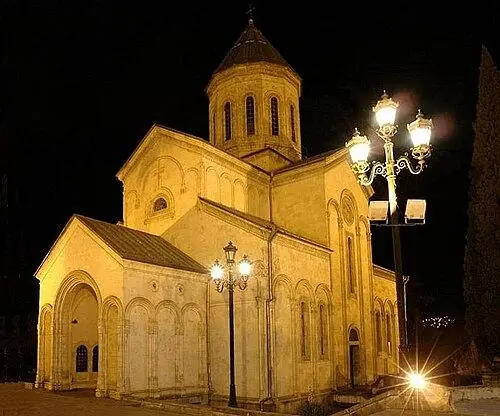
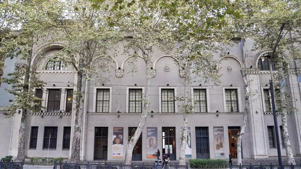
Aghmashenebeli Avenue
Aghmashenebeli Avenue, often written Agmashenebeli Avenue, is the restored old main street of Chugureti, with a brick-paved car-free stretch full of terraces.
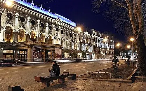
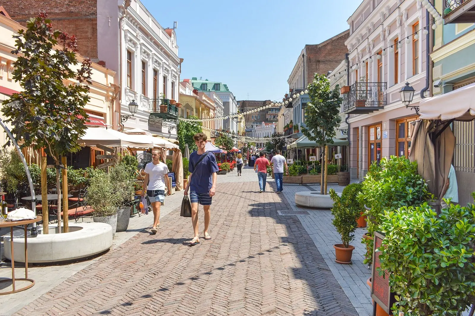 Aghmashenebeli AvenuePhoto: Francisco Anzola, CC BY 2.0
Aghmashenebeli Avenue, which you will also see spelt Agmashenebeli Avenue, is the main street of Chugureti, the 19th-century quarter on the Mtkvari's left bank, facing the Dry Bridge across the water. It runs ~2.5 km north-west from Saarbrücken Square, named after Tbilisi's German twin city, towards Didube. Visitors come for its southern end: a ~0.5 km pedestrian section reaching almost to Marjanishvili Square, paved in herringbone brick and framed by repainted facades in cream, rose and pale green, with stucco, iron balconies, lanterns and lines of bulbs strung overhead.
Most people come here to eat and drink. On the car-free part nearly every ground floor is a restaurant, bakery, wine bar or cafe, and from spring to autumn the tables spread out among potted trees. Stroll it slowly and look up at the window surrounds and balconies, then peer through open gateways into the leafy yards behind. Past Marjanishvili Square buses and cars take over again, yet the avenue still rewards a longer walk, with theatres, a music centre in a 1914 cinema and solid Stalin-era blocks. Fabrika is about ten minutes away on foot.
History
Swabian farmers from Württemberg settled here in 1818, laying out two rows of houses with gardens along one road, in the colony known as Neu-Tiflis. Under the tsars the road became Mikheil Street, honouring Grand Duke Mikhail Nikolayevich, and by the 1910s it held hotels, mansions, cinemas and the colonists' Lutheran church, pulled down in 1946-1947. In 1918 it was renamed after the Marxist Georgi Plekhanov, a name the Soviets kept; today it honours King David IV the Builder. City Hall restored some 70 buildings in 2010-2011, and the southern stretch went car-free in September 2016.
What to see and do
- The pedestrian stretch between Saarbrücken Square and Marjanishvili Square, with herringbone paving, street lamps and dozens of restored facades
- Marjanishvili Square, where the German colonists' church once stood, and the Marjanishvili drama theatre a few steps away in the People's House of 1907
- The Jansug Kakhidze Music Center at No. 125, set in the Palace cinema of 1914, whose old entrance hall has survived
- Archways off the avenue that open onto quiet green courtyards behind the street fronts
- Arto Garden, a small park off the avenue that used to be known as the Art Society garden
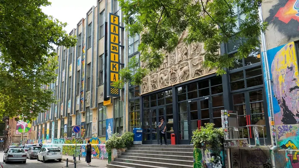
- Fabrika on Ninoshvili Street, ~0.6 km to the east, a Soviet sewing factory reborn as a hostel with courtyard bars
How to visit
Getting there
Marjanishvili metro station on Line 1, two stops from Freedom Square, is a short walk from the upper end of the pedestrian section. On foot from Freedom Square it is ~1.5 km, around 20 minutes: follow Rustaveli Avenue, drop down past the Dry Bridge Market and cross the Saarbrücken Bridge.
When to go
Late afternoon and evening, May to October, when the terraces are out; early mornings suit photos of the facades. Plan 30–60 minutes to walk; 2–3 hours with a meal and Fabrika here.
- Terrace prices on the pedestrian part are aimed at visitors; for a cheaper bite, try the bakeries and khinkali houses in the side streets around Marjanishvili Square.
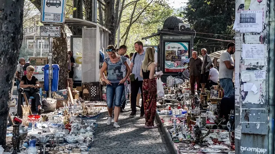
- Pair it with the Dry Bridge Market: browse the stalls in the late morning, walk over the Saarbrücken Bridge and have lunch on the avenue.
- Don't mix it up with Aghmashenebeli Alley, a highway in Dighomi ~10 km to the north-west; tell taxi drivers 'Marjanishvili' or 'Saarbrücken Square'.
- Behind the painted fronts many courtyards are still lived in and a little shabby, so ask before photographing people in their yards.
Weather at Aghmashenebeli Avenue
Based on the climate of Tbilisi, 1 km away. Warmest in August (32° by day), coldest in January (0° at night), with 511 mm of rain a year. Best months: Sep–Oct.
Aghmashenebeli Avenue: FAQ
Where is Aghmashenebeli Avenue in Tbilisi?
Agmashenebeli Avenue, as many maps write it, lies in the Chugureti district, over the Mtkvari and north of the Old Tbilisi lanes. Its car-free part starts at Saarbrücken Square and ends close to Marjanishvili metro.
Who is Aghmashenebeli Avenue named after?
King David IV of Georgia, who ruled from 1089 to 1125 and is remembered as Davit Aghmashenebeli, 'David the Builder'. Before that, the street was Plekhanov Avenue, and before 1918 Mikheil Street.
Which part of Aghmashenebeli Avenue is pedestrian?
Only the southern end, about half a kilometre from Saarbrücken Square up towards Marjanishvili Square, which opened as a pedestrian zone in 2016. Further north the avenue is a busy road with traffic and buses.
Is anything left of the German quarter?
Not much that is truly German. The farmhouses and the Lutheran church have gone, and what you see today are mostly late 19th- and early 20th-century buildings repainted after 2010. The straight street line and the green courtyards are the clearest traces of the colony.
Nearby places
Straight-line distance from Aghmashenebeli Avenue.