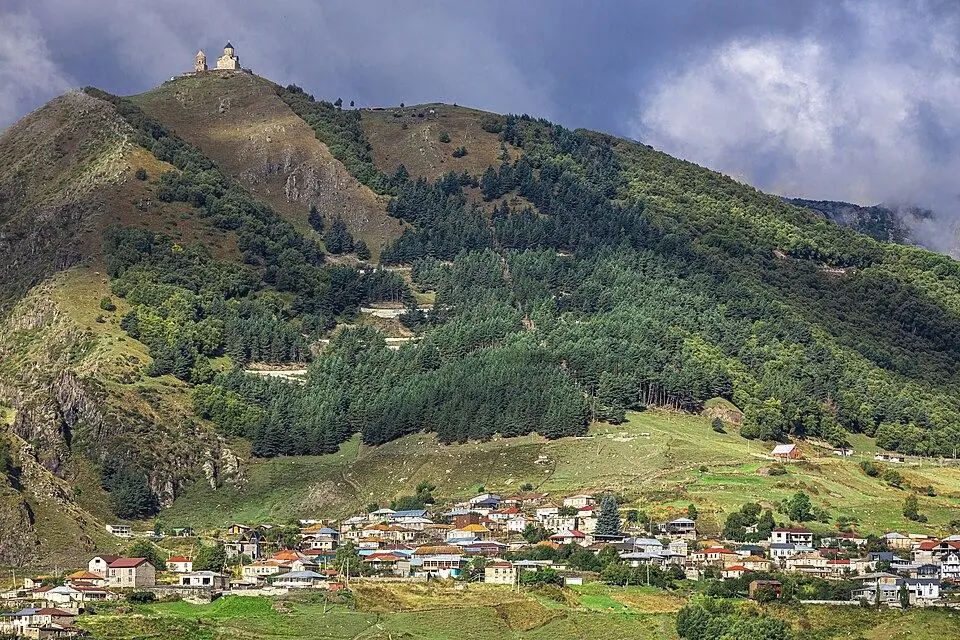
Roshka
Tiny Khevsur village at ~2,000 m: Roshka is the base for the Abudelauri Lakes walk and the finish of the Chaukhi Pass crossing.
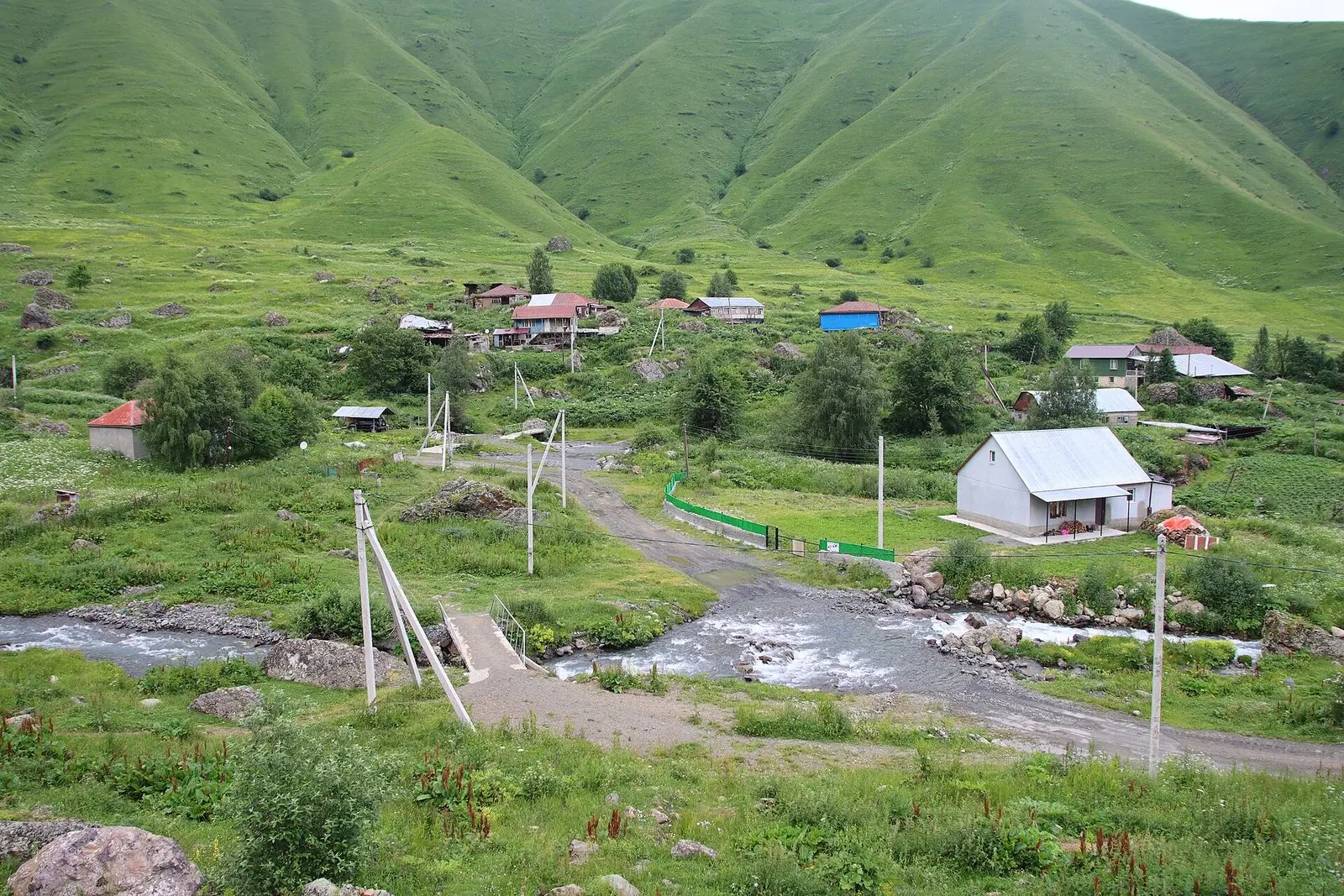 RoshkaPhoto: Draceane, CC BY-SA 4.0
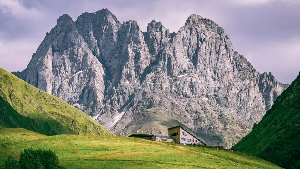
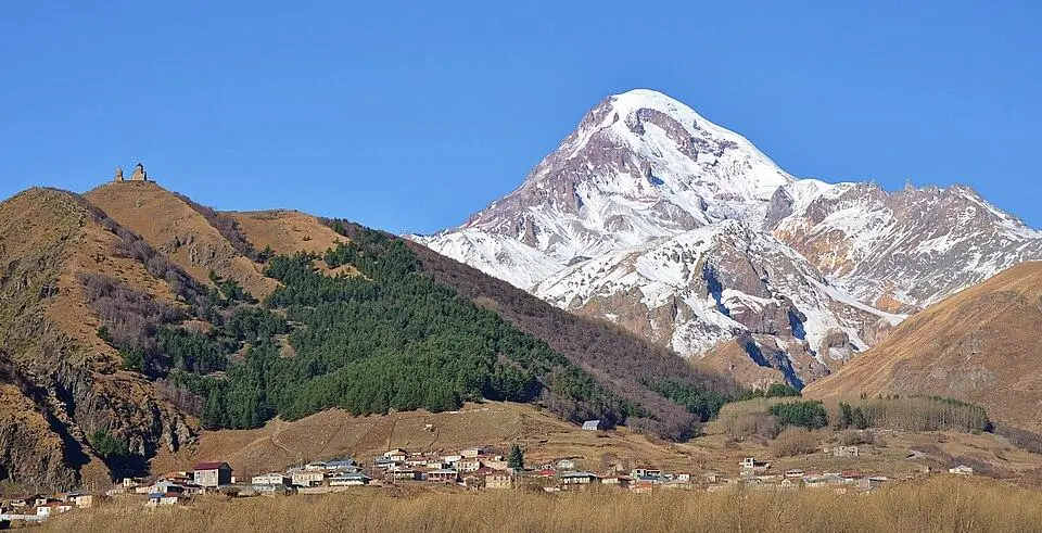
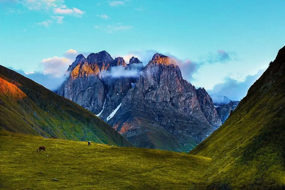
Roshka is a small Khevsureti hamlet in Dusheti Municipality, lying at ~2,000 m along the Roshkistskali stream below the southern ridges of the Greater Caucasus. It is not a tower village like Shatili: most homes are plain houses with red, blue or grey tin roofs, mixed with a few older stone buildings, some of them empty and roofless, and huge grey boulders scattered through the hay meadows. The 2014 census counted just ten residents. In summer the handful of guesthouses fill with hikers, and green slopes climb west toward the rock walls of Chaukhi.
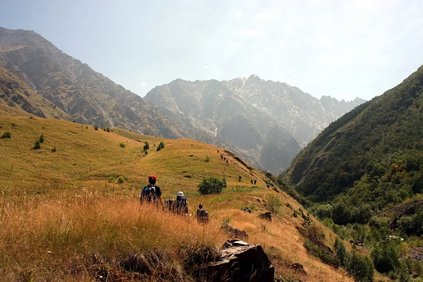
For most people the village is a base rather than a sight. Trekkers walking over the Chaukhi Pass from Juta end their crossing here, and others sleep a night before setting off on foot for the Abudelauri Lakes from the upper end of the village. Ten minutes out of the village lies the Roshka Rocks Natural Monument, a cluster of giant blocks that an Ice Age glacier dropped below the Chaukhi massif; the largest, Split Rock, measures 25 by 10 by 11 m. From the upper village a rough track heads on toward the Bogovacho Pass and the remote Arkhoti valley.
History
Georgian reference works name Roshka as the centre of the old Roshka-Kmosti community, one of the traditional Khevsur communities of the upper Aragvi basin, whose families lived mostly by herding livestock. From the 19th century many of them moved down to the Ertso-Tianeti lowlands, and the village kept shrinking: roughly 137 people lived here in the 1920s, 53 in 2002 and 10 in 2014.
What to see and do
- Roshka Rocks Natural Monument, giant glacial boulders a short walk from the houses
- Old stone houses, some abandoned, among the newer homes by the Roshkistskali
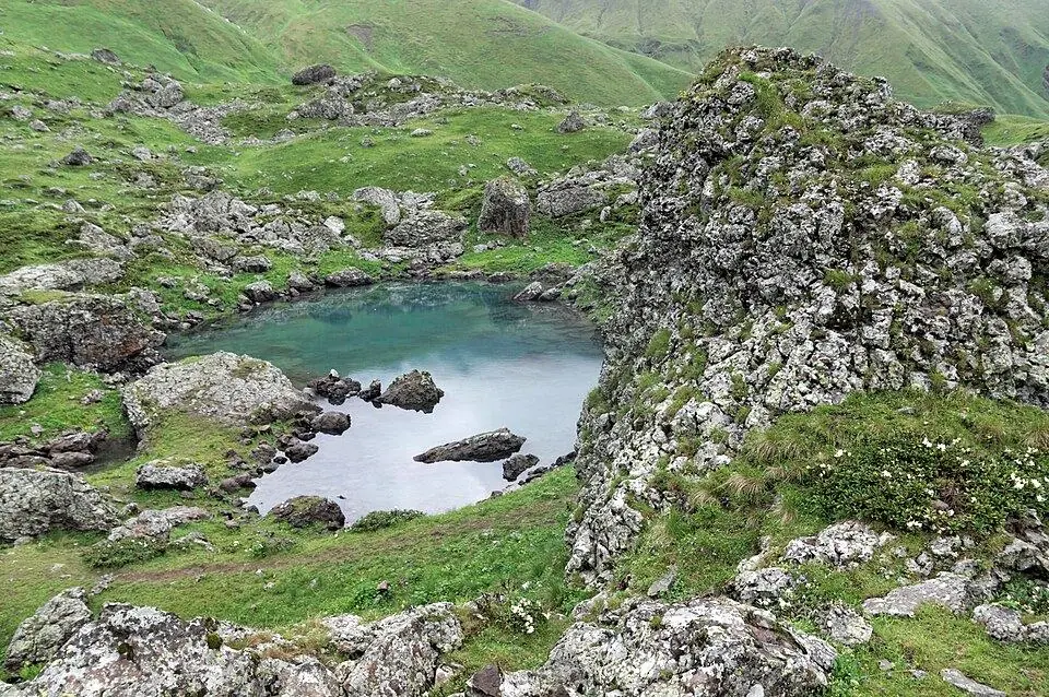
- Day hike to the Blue, Green and White Abudelauri Lakes
- The finish of the Chaukhi Pass trek from Juta
- A night in a family guesthouse with a home-cooked dinner
- The 4x4 track toward the Bogovacho Pass and the Arkhoti valley
How to visit
Getting there
Roshka is ~120 km from Tbilisi: drive the Military Road to Zhinvali, follow the Aragvi valley road past Barisakho and Korsha, then turn west onto a ~7 km gravel side road, about 3 to 3.5 hours in total. The final stretch is loose gravel with tight bends, so use a 4x4 or a high-clearance car. No bus goes up to the village; guesthouses can collect you from Barisakho, ~15 km away.
When to go
Late June–September. Plan 1–2 nights here.
- Snow usually shuts the road past Korsha, Roshka turn-off included, for the winter: closures in recent years began between early November and December and lifted between late May and mid-June. Near those dates, read the Roads Department restriction notices and ask your hosts.
- Phone coverage can be weak and patchy in the village and there is no ATM, so carry cash and download offline maps in advance.
- Rooms are few and many hosts are not on booking sites: phone ahead for July and August, or let your driver arrange a bed.
Weather at Roshka
Based on the climate of Juta, 13 km away; Roshka is about 200 m lower, so expect it a little warmer. Warmest in August (20° by day), coldest in January (−11° at night), with 1,220 mm of rain a year. Best months: Jul–Aug.
Roshka: FAQ
How do I get to Roshka?
By car from Tbilisi via Zhinvali, Barisakho and Korsha, then up a rough side road for the last ~7 km to Roshka. Allow 3 to 3.5 hours and take a 4x4. Public transport does not reach the village, so book a driver or a guesthouse pickup.
Can you stay overnight in Roshka?
Yes. A few local families take in guests, with simple rooms and dinner and breakfast cooked at home. They work mainly in the summer hiking season.
Is the road to Roshka open in winter?
Usually not. The road above Korsha is normally snowbound for around six months, and recent seasons reopened it only between the end of May and mid-June, so check the situation before a spring or autumn trip.
Nearby places
Straight-line distance from Roshka.